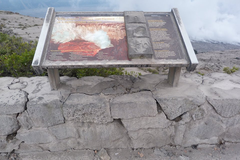
Today’s Eruption Summary
The new news today is that HVO/USGS downgraded Kilauea’s FAA warning level:
“Since late May, these collapse/explosion events have rarely produced significant ash plumes rising more than 10,000 feet above sea level where they can pose a significant hazard to aviation. For this reason, HVO is reducing the aviation color code from RED to ORANGE.”
Full text of this HVO Volcanic Activity Notice | Guide to Codes
I almost feel like the recent code downgrades for Kilauea and Mauna Loa were a tacit rebuttal of the scaremongers trying to conjure an island-wide catastrophe out of hot air. But I suppose I’m being as irrational as they are. There were specific numbers and criteria for both these status changes.
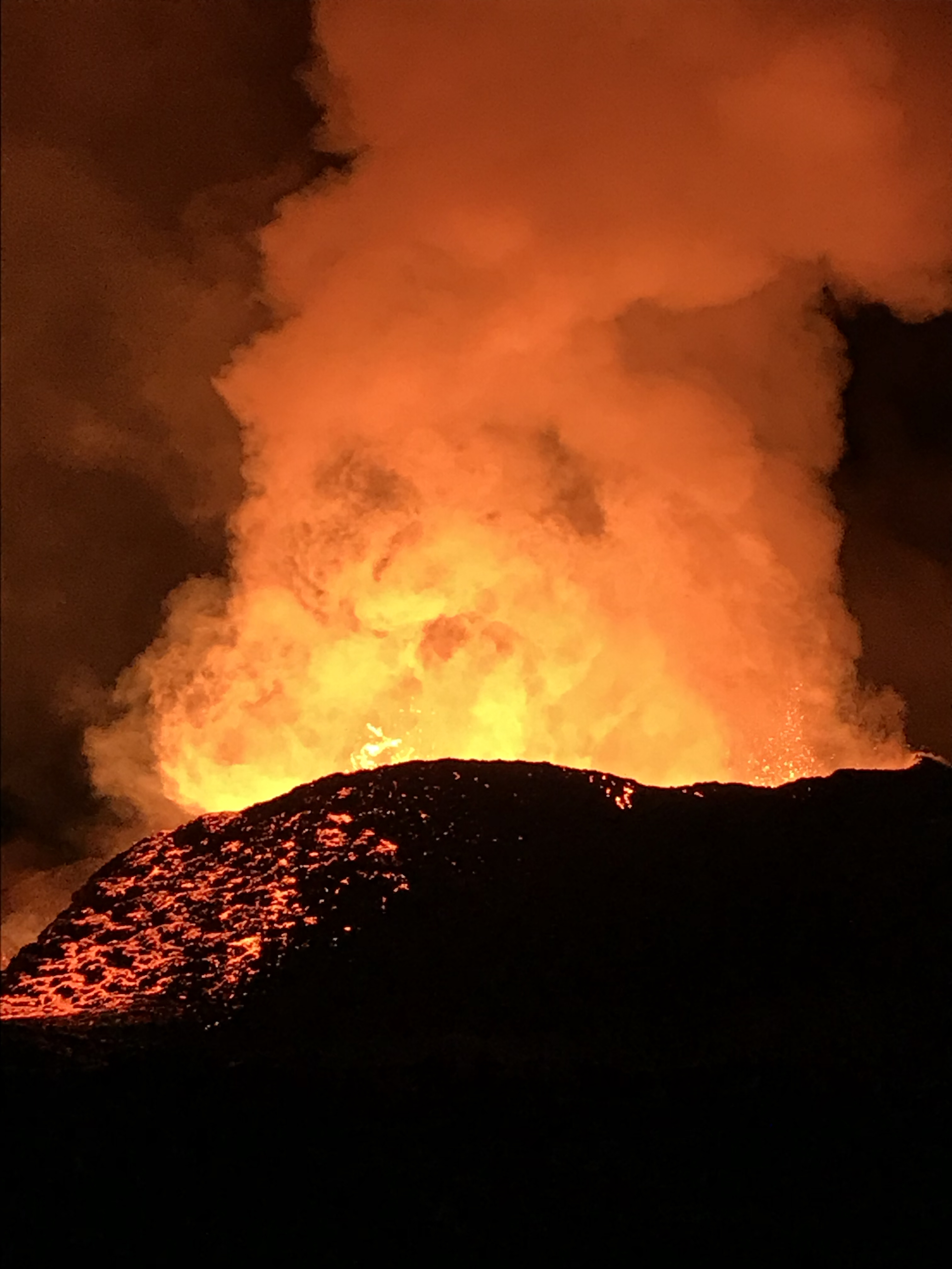
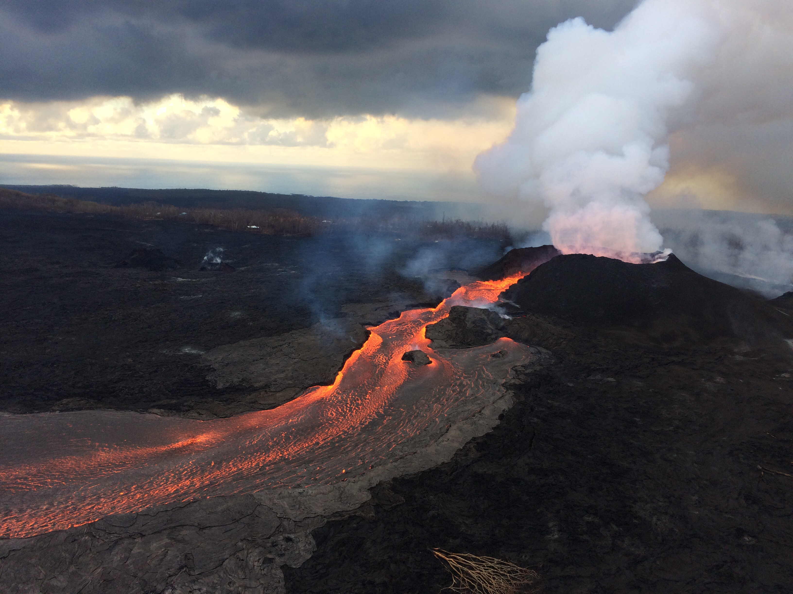
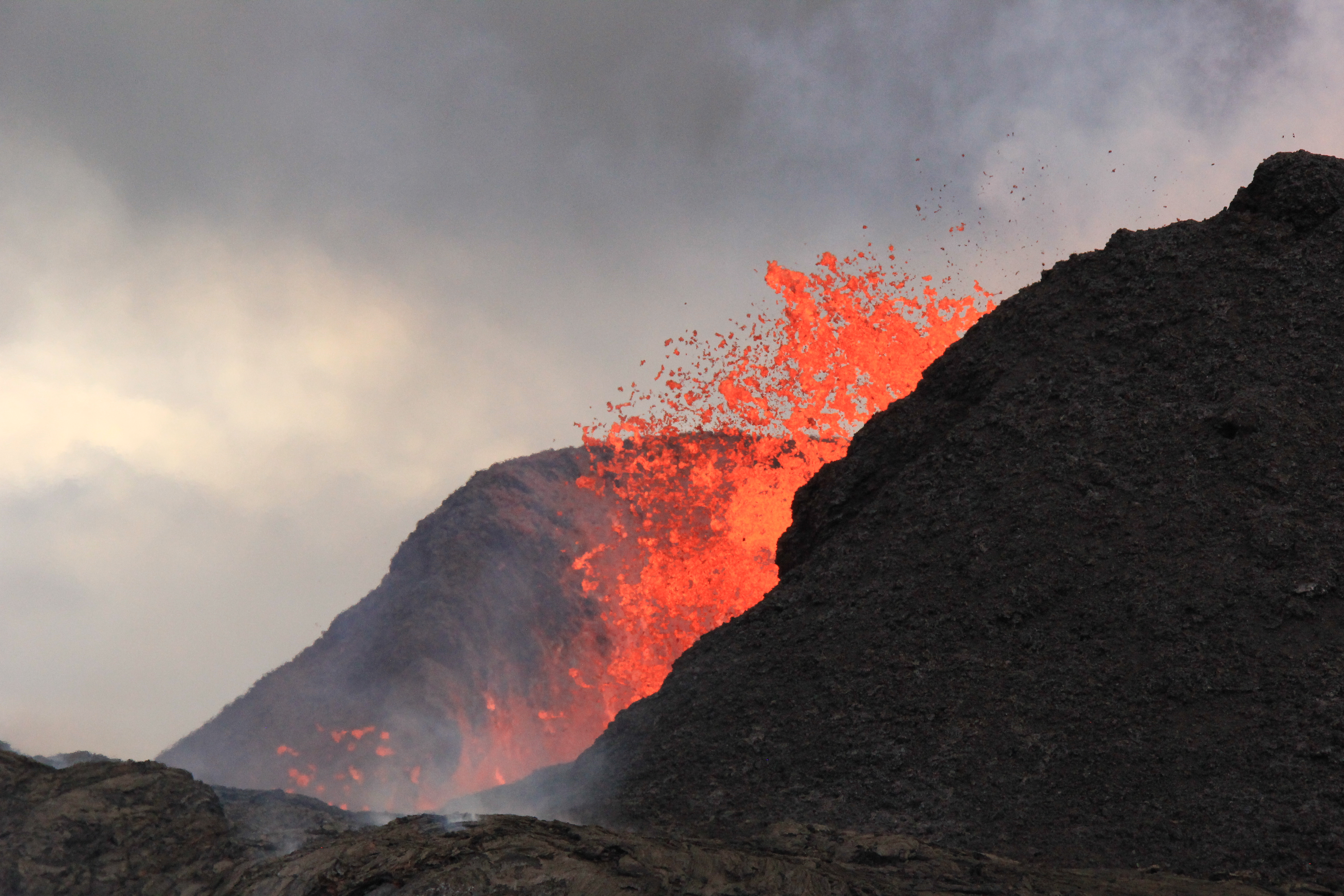
Down at the LERZ, status quo continues. Fissure 8’s lava fountains are vigorous but seldom peep over the cone they’ve built (now 180′). Minor overflows spill out near the head of the lava river without going far. The ocean entry is concentrated mostly at the main lava channel channel near the south end of the lava delta, but some fans out along a 1km stretch.
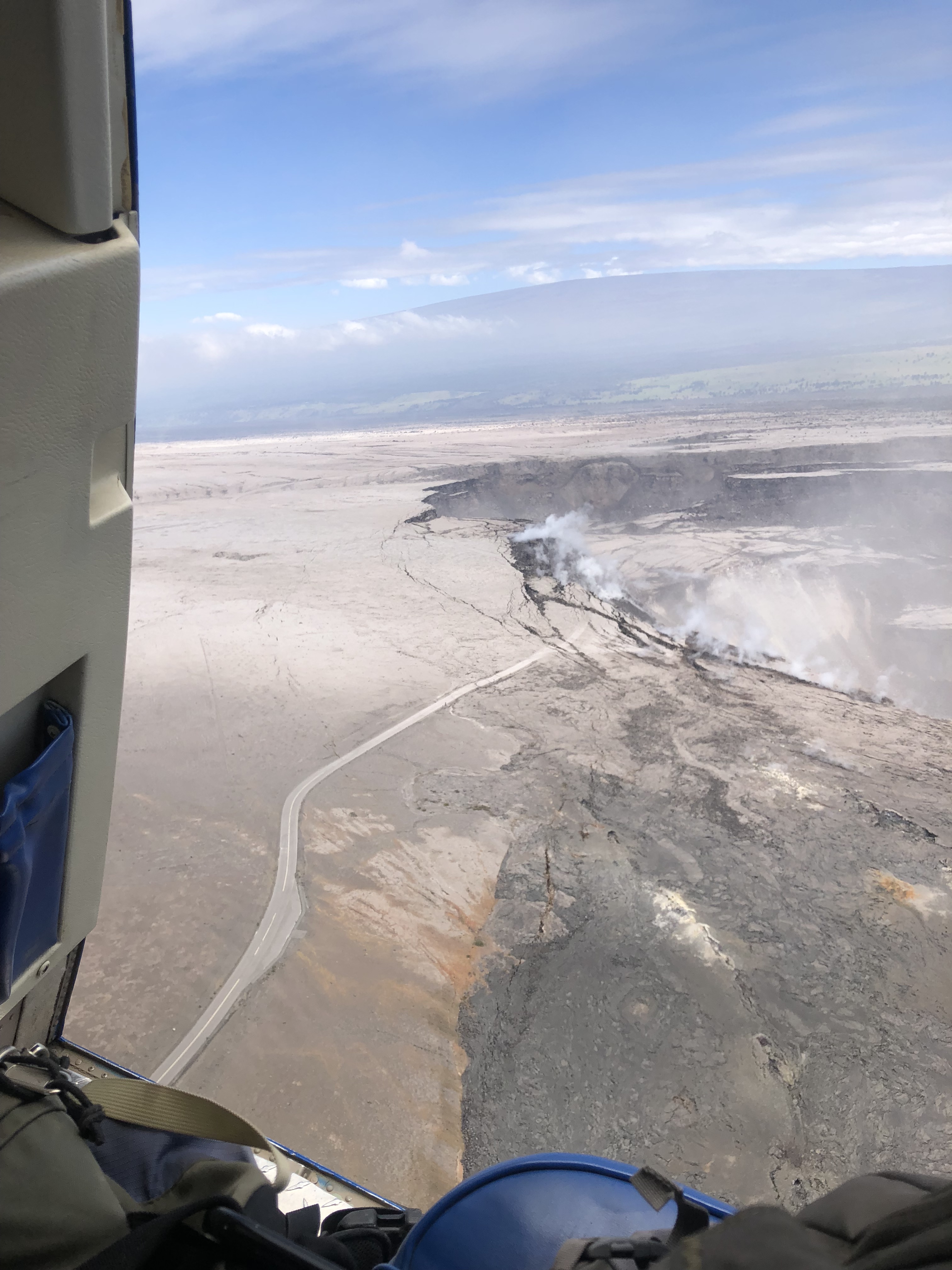
Today’s collapse explosion went off at 4:12pm, M5.3, partly hidden on the livestream by a dust cloud from rockfalls 4 minutes earlier. Just as yesterday, I noticed the “collapse explosion” started with a visible camera shake, unlike earlier rockfalls that made me think, “Waaaaait— was that it?” The explosion itself didn’t send up much dust past the rim of Halema’uma’u. About a minute later, dust from caldera wall rockfalls (I think?) blew past.
Below: Rockfalls, dust cloud, then I fast forwarded to the collapse explosion.
Today’s USGS Kilauea update gave additional details for yesterday’s explosion which probably apply to today’s as well: “Seismicity dropped abruptly from a high of 25-30 earthquakes per hour (many in the magnitude 2-3 range) prior to the collapse explosion down to 10 or less earthquakes per hour afterwards. Within 4 hours seismicity began to creep up again averaging about 25 earthquakes per hour by daybreak (June 24)” i.e. about 14 hours later.
Continue reading June 24: Aviation Color Code Dropped to Orange