Today’s eruption summary
Exactly 8 weeks after the Lower East Rift Zone eruption began in Leilani Estates on May 3, Fissure 8 continues to gush unabated. Its fountains are contained within its 55-meter (180 ft) cone, and this morning’s overflight showed no active overflows.
#LeilaniEstatesEruption #KilaueaVolcano LATEST: More unbelievable video of “lava boats” from #IkaikaMarzo who captured how fast the flow or river of lava produced by #Fissure8 in #LeilaniEstates is moving; USGS daily update 👉🏽 https://t.co/QuqIM63MCJ @HawaiiNewsNow #HINews pic.twitter.com/Hgctfp2IEC
— Mileka Lincoln (@MilekaLincoln) June 29, 2018
For the past day or so, the lava river has crusted over on the last half mile to the ocean. This has allowed lava seeps, described by Steve Brantley in his Tuesday evening talk, to creep into still-molten earlier flows on the northern side of the lava delta. This “lava seepage” is oozing into the ocean along a broad front, encroaching onto what’s left of Kapoho Beach Lots on the northern edge of the flow:

At Kilauea’s summit, the most recent collapse explosion occurred at 4:49am this morning, sending up an ash-poor plume about 1000 feet, with the energy release of a 5.3 earthquake. The sides of Halema’uma’u continue to collapse inward and downwards, especially during each explosive event.
Increased seismicity in the hours leading up to each explosion, up to 25-35 small earthquakes an hour, is wearing on the nerves of nearby Volcano Village. The USGS is meeting with them tonight to talk about the ongoing earthquakes, and released an excellent FAQ today: “Frequently Asked Questions About Kilauea Volcano’s Summit Earthquakes.”
Local News Outlets Given Brief Tour of Summit
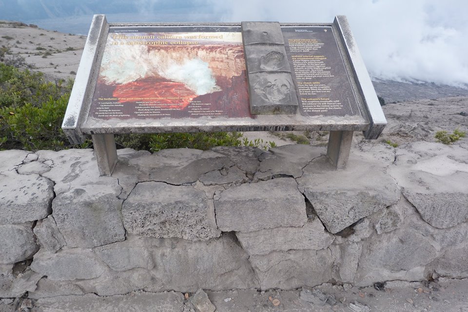
The big news today is that the National Park Service and USGS arranged a brief escorted tour for local news media to the rim of Kilauea Caldera, which has been closed to visitors for 49 days. There was also a half hour press briefing.
So today there’s suddenly a lot more videos and views of what the caldera looks like:
#LeilaniEstatesEruption #KilaueaVolcano UPDATE: @Volcanoes_NPS has been closed 49 days. Ongoing earthquakes & collapse explosions are some of the hazards keeping it shutdown. Officials estimate $20 million in losses to local economy https://t.co/Zd2VMCiLW6 @HawaiiNewsNow #HINews pic.twitter.com/dl1o9GpwCP
— Mileka Lincoln (@MilekaLincoln) June 29, 2018
In fact, I’m going to put the news media links before the science segment of today’s post. Boldfaced articles include quotes, videos, and/or photos from the media summit tour.
Continue reading June 28: Media Visits Damaged Park, Views Crater

