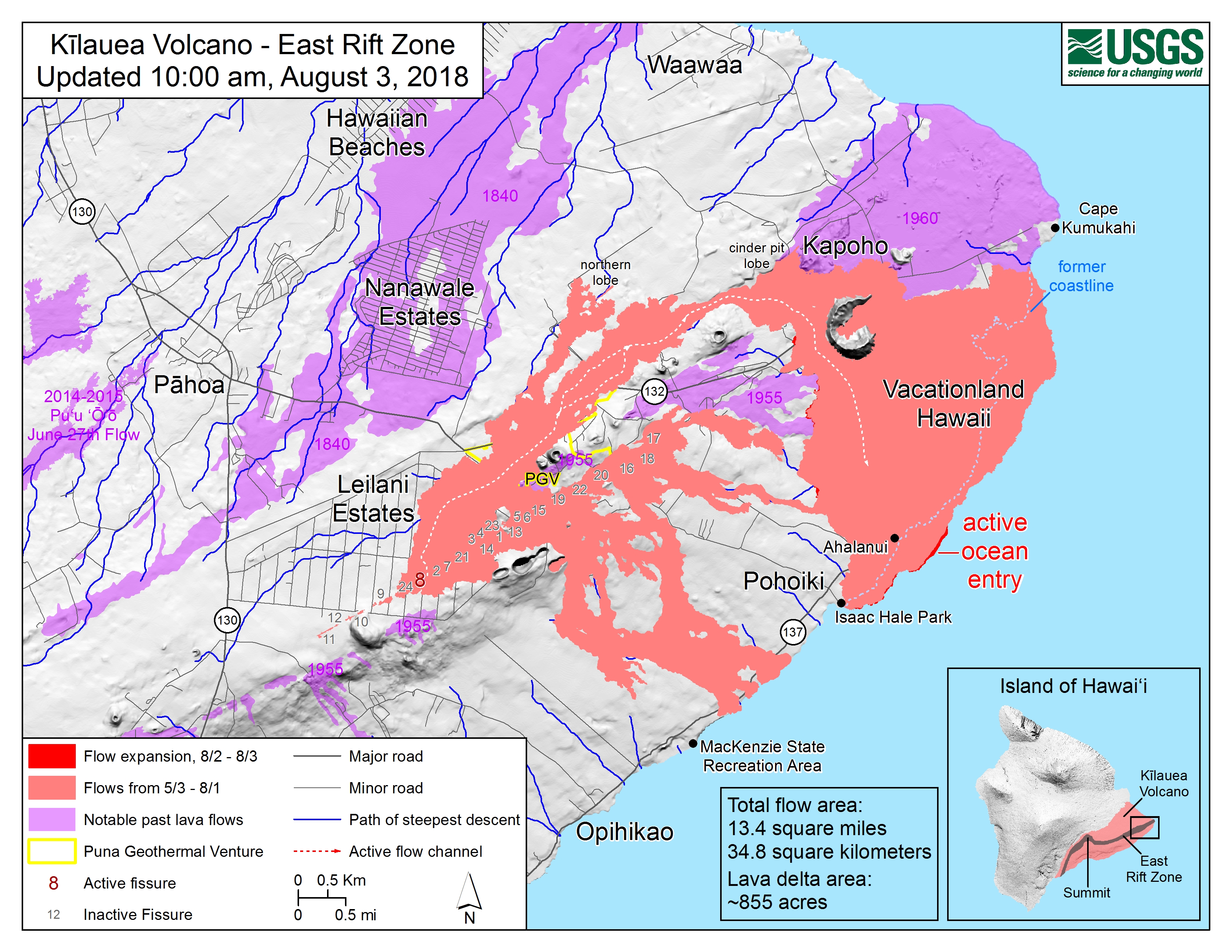
This Week’s Eruption Summary
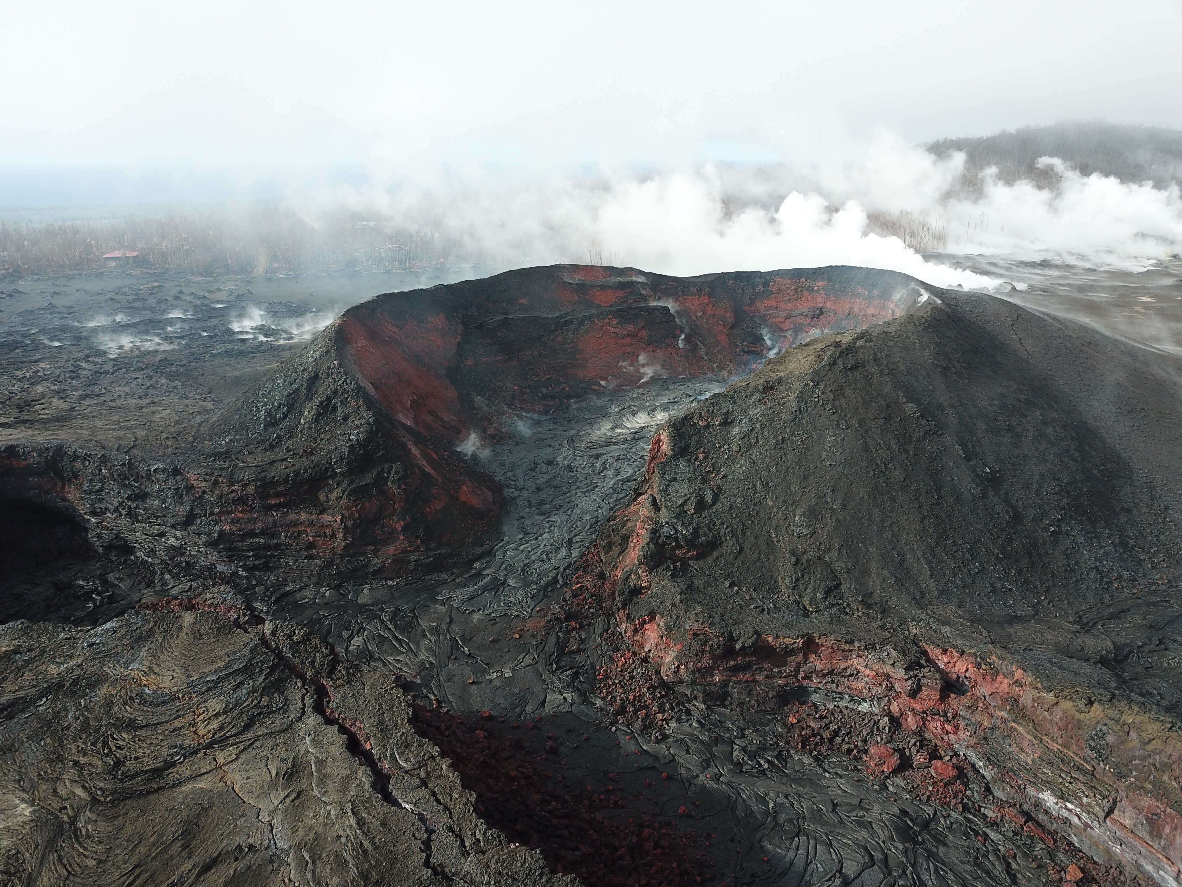
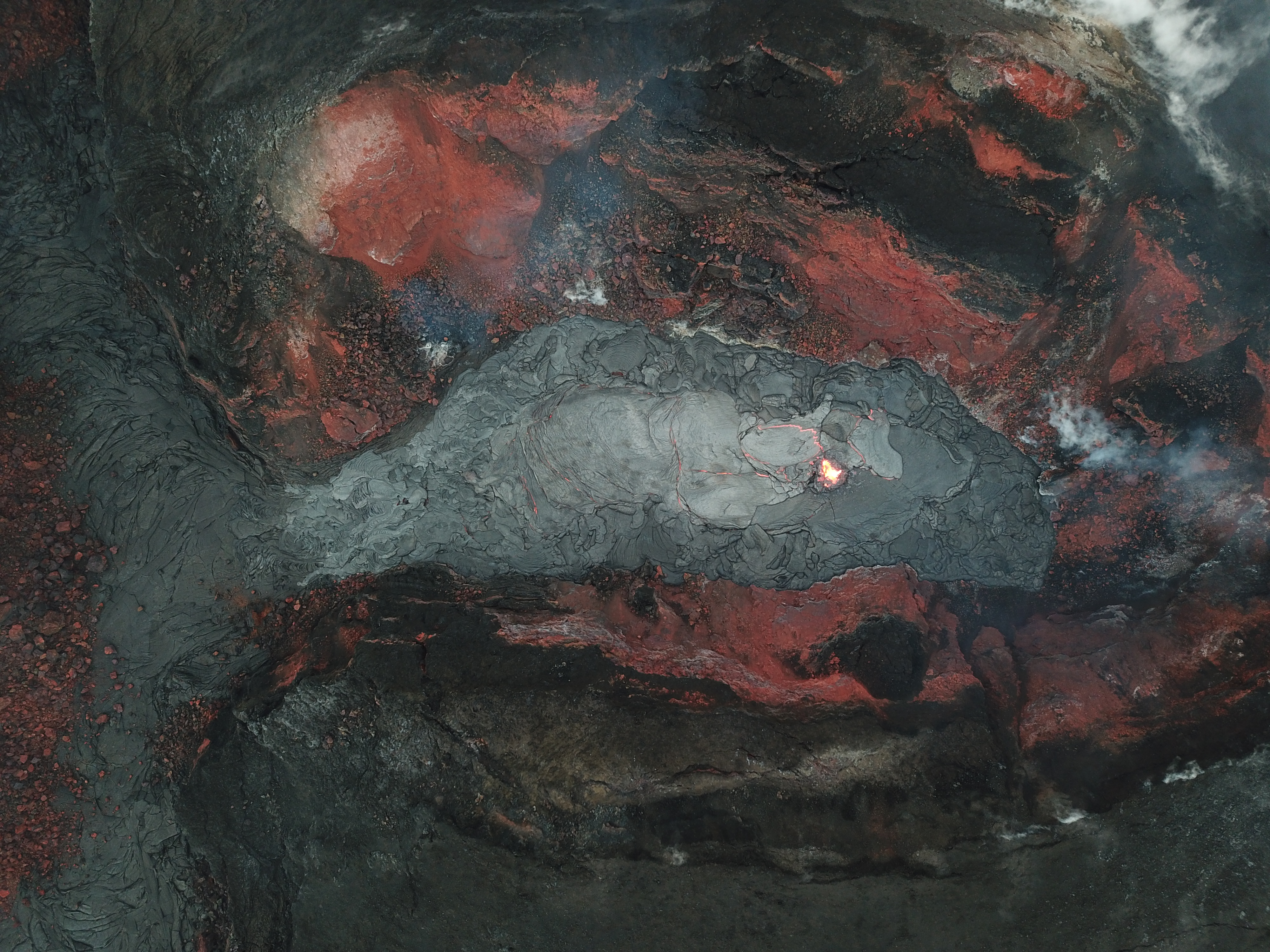
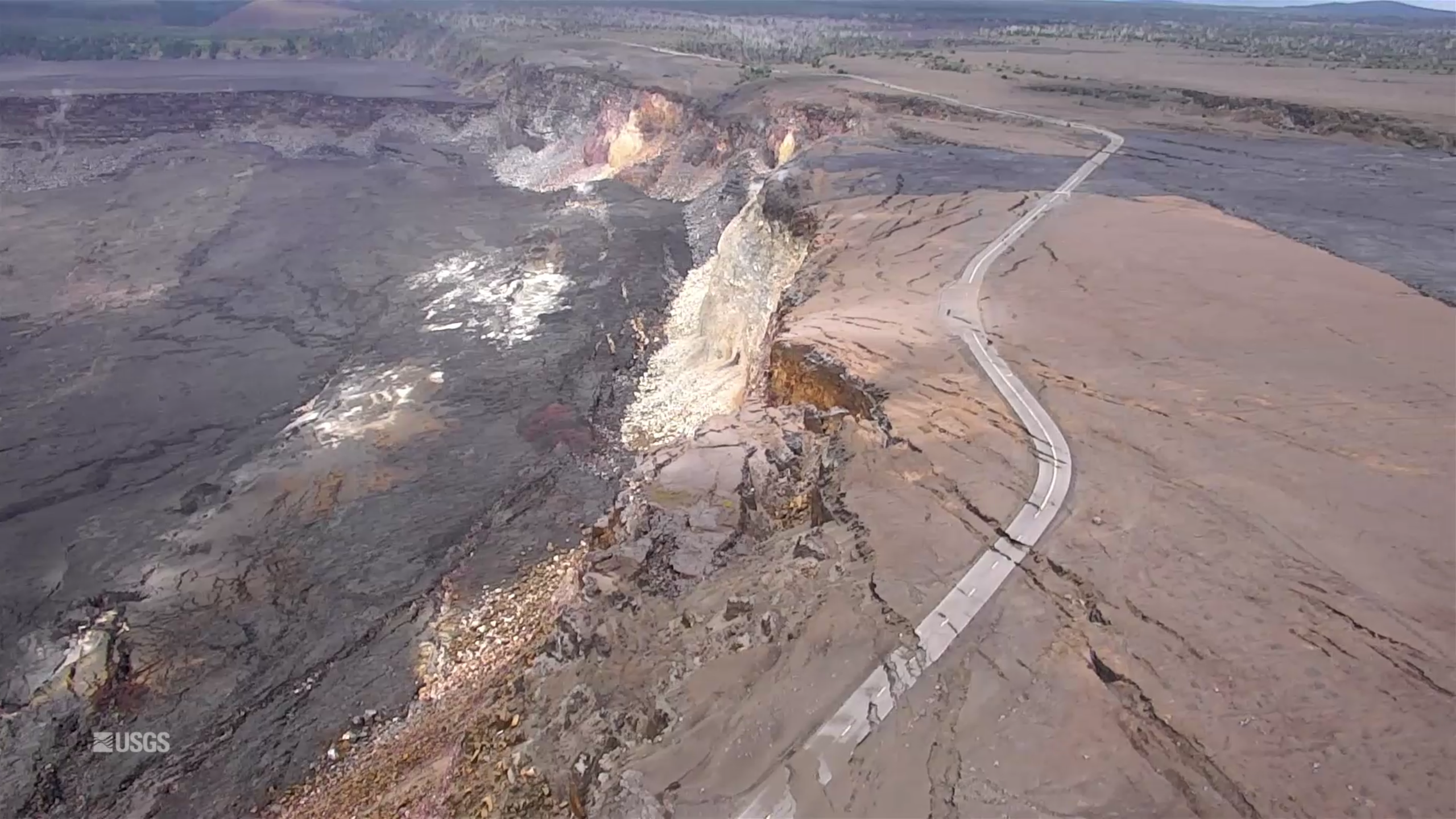
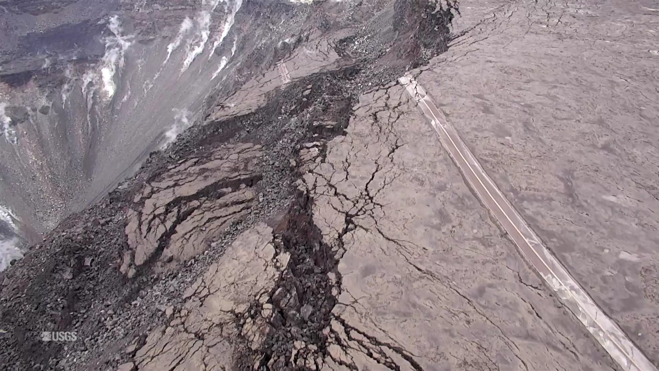
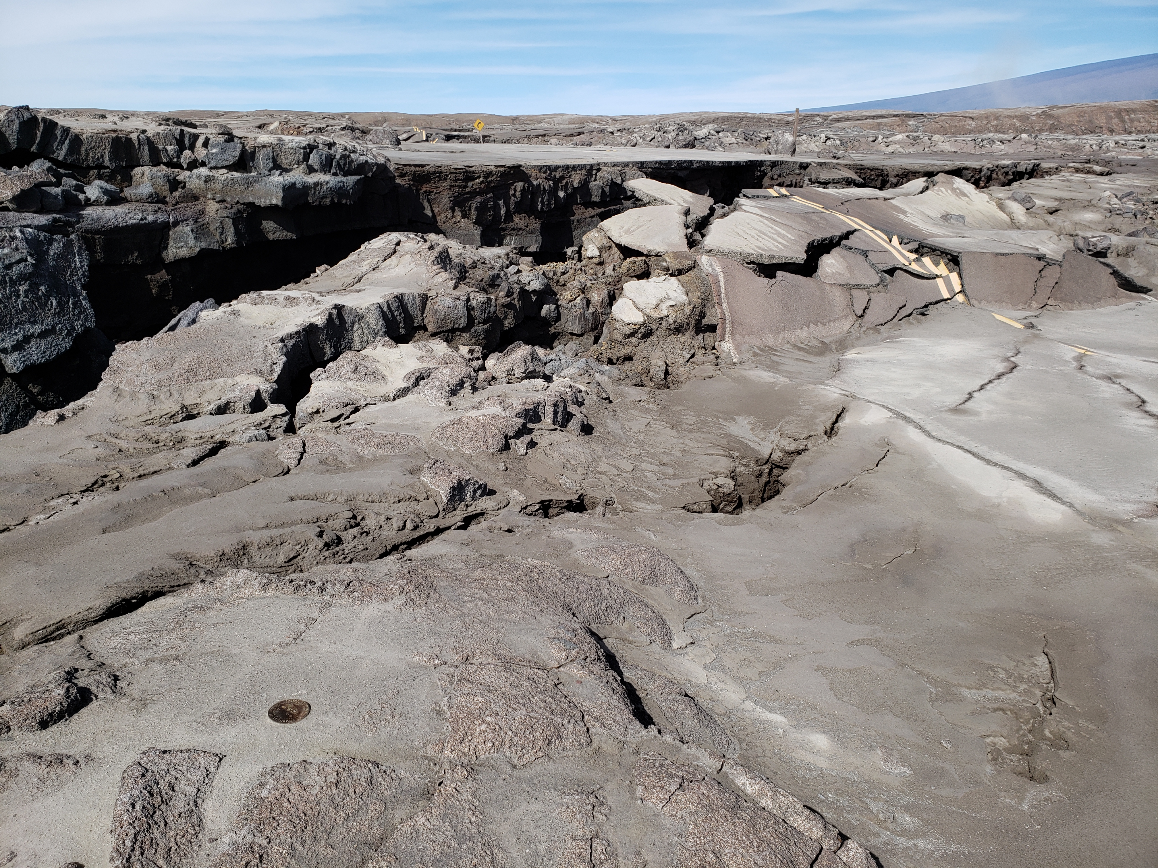
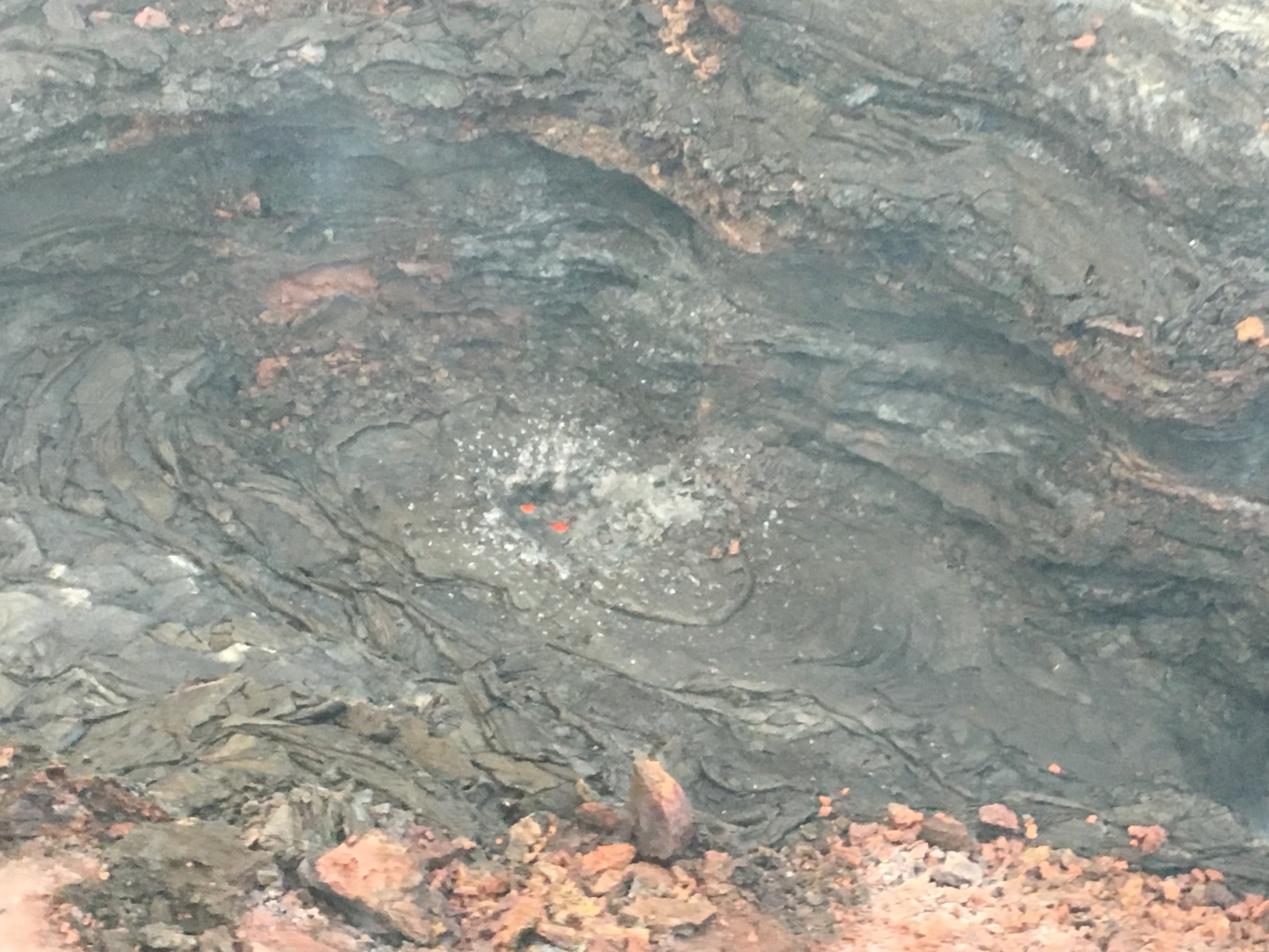
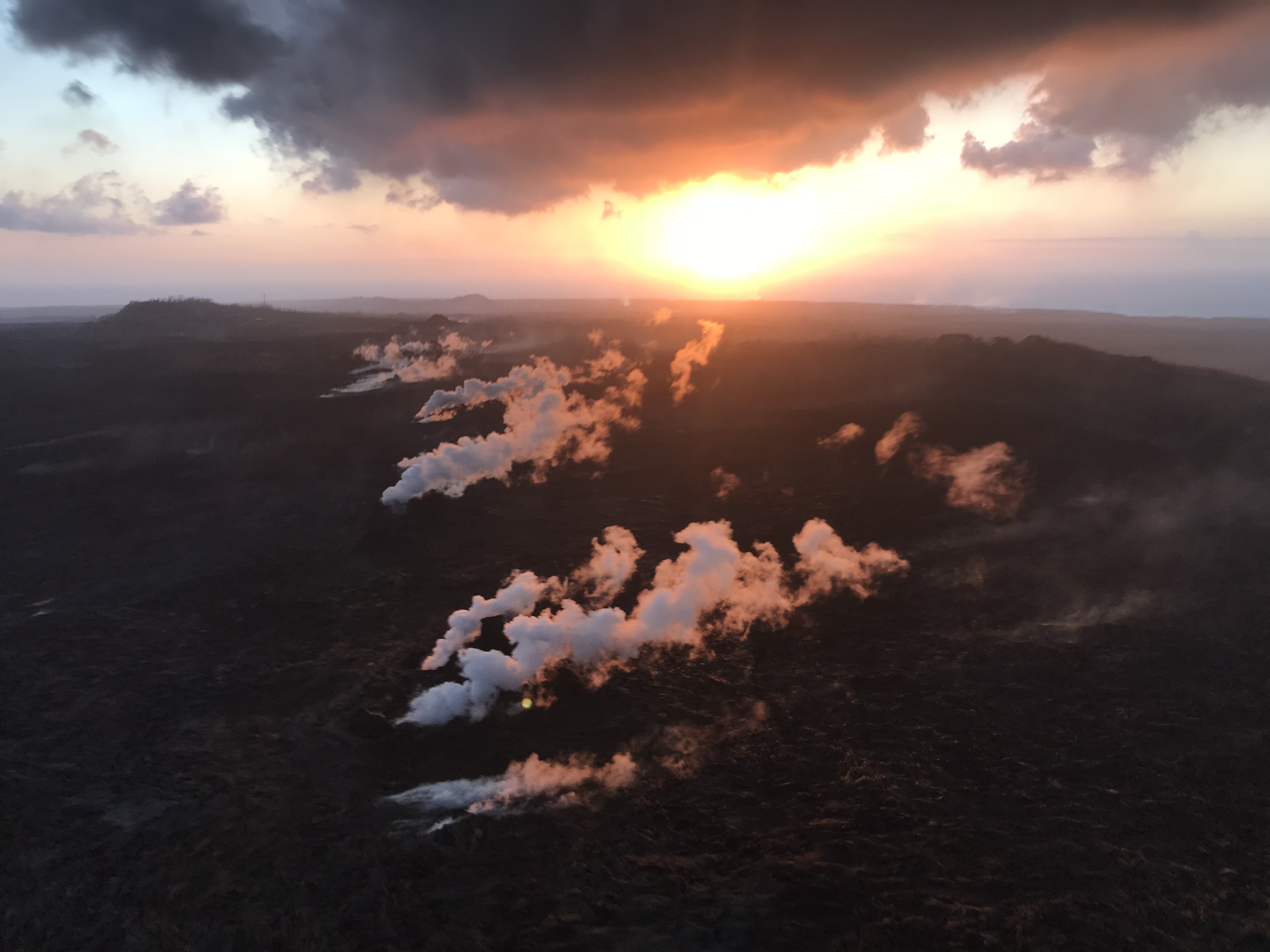
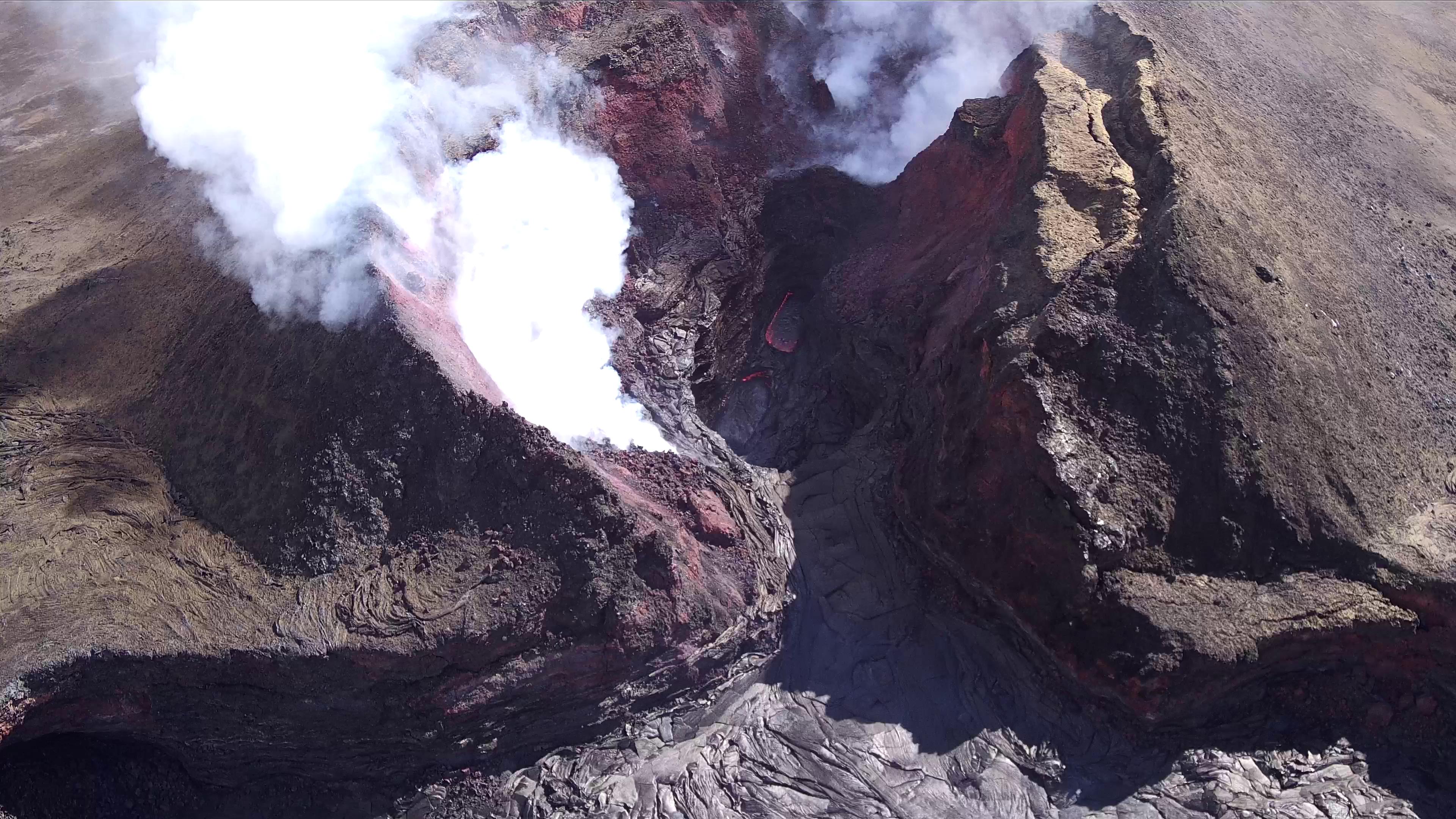
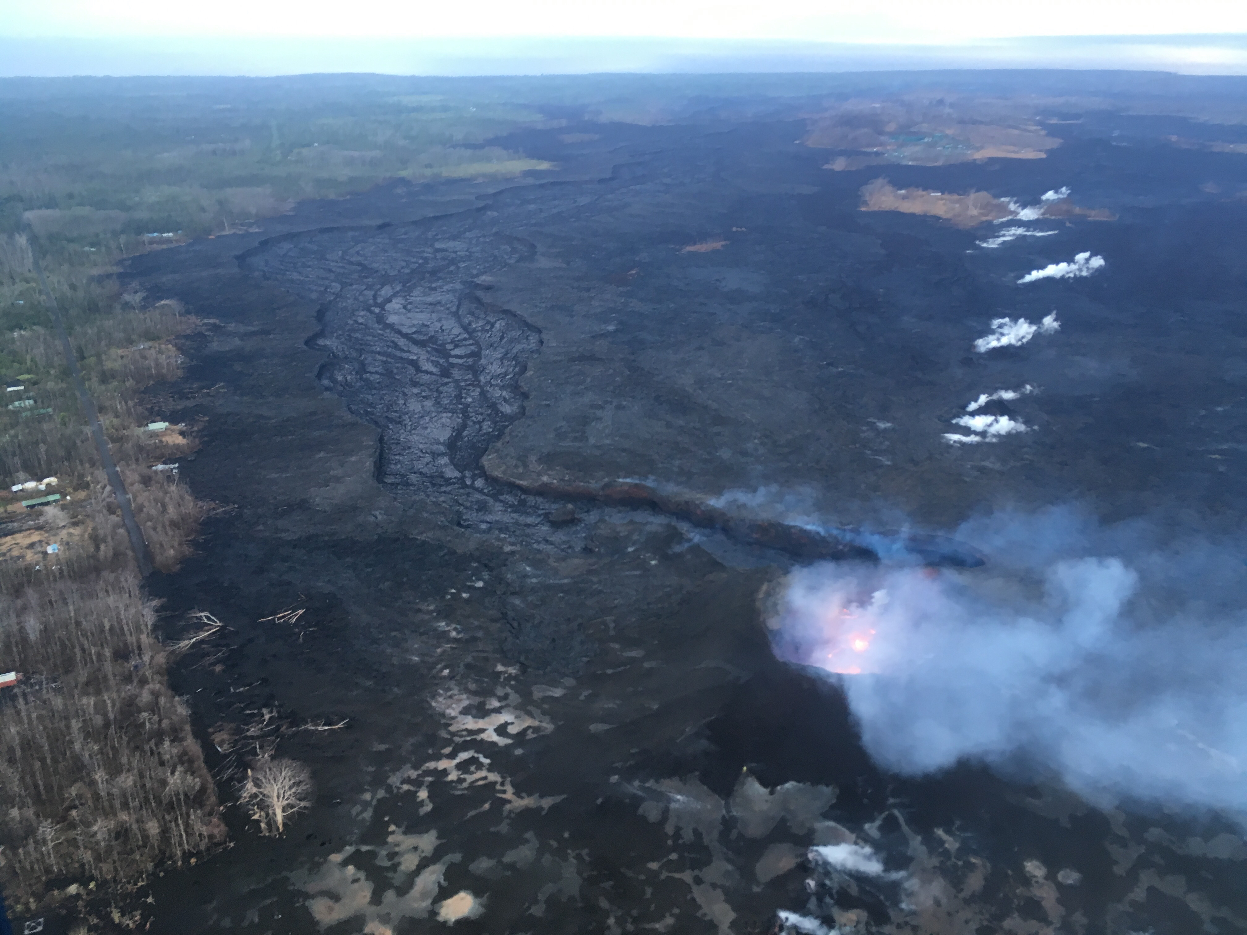
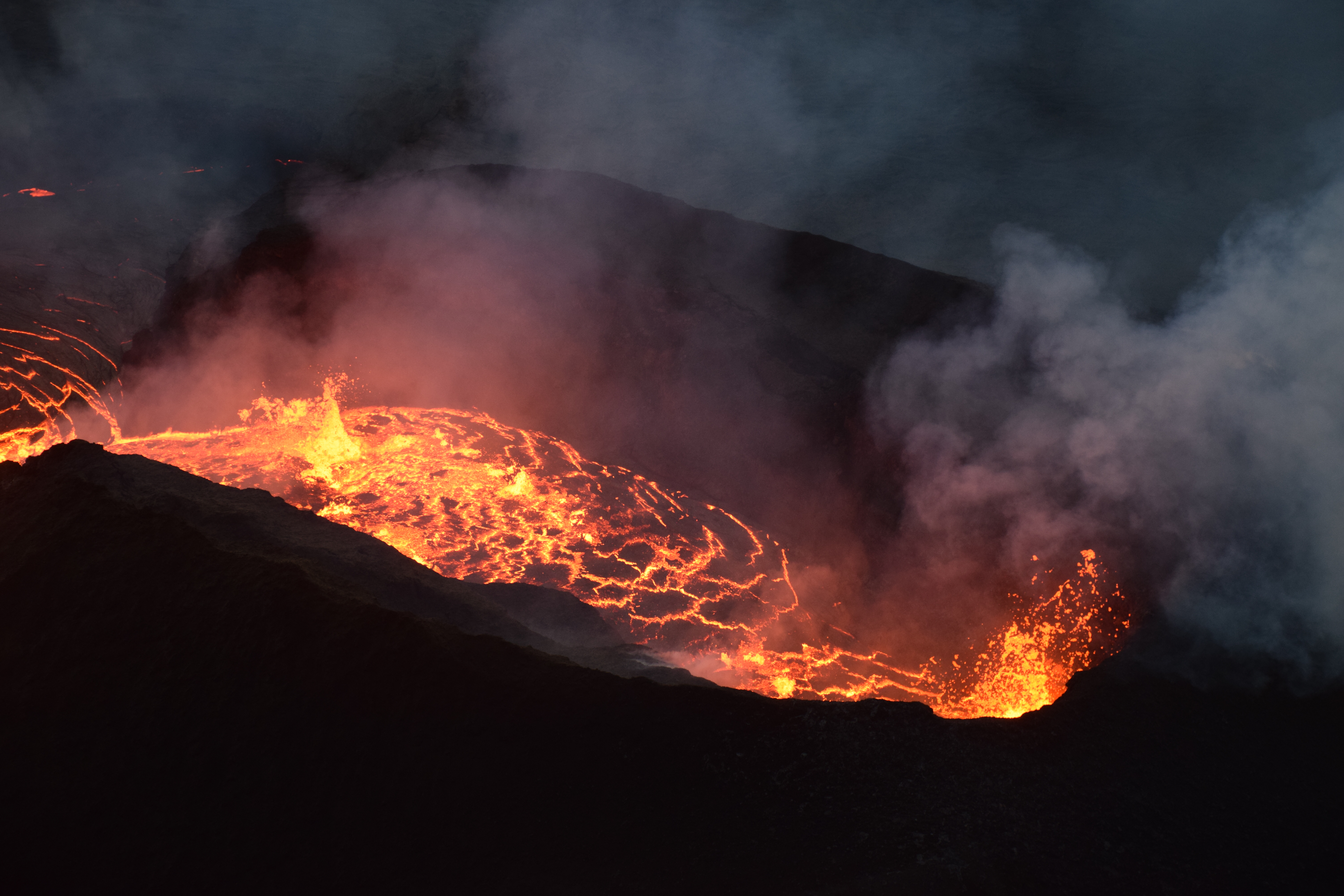
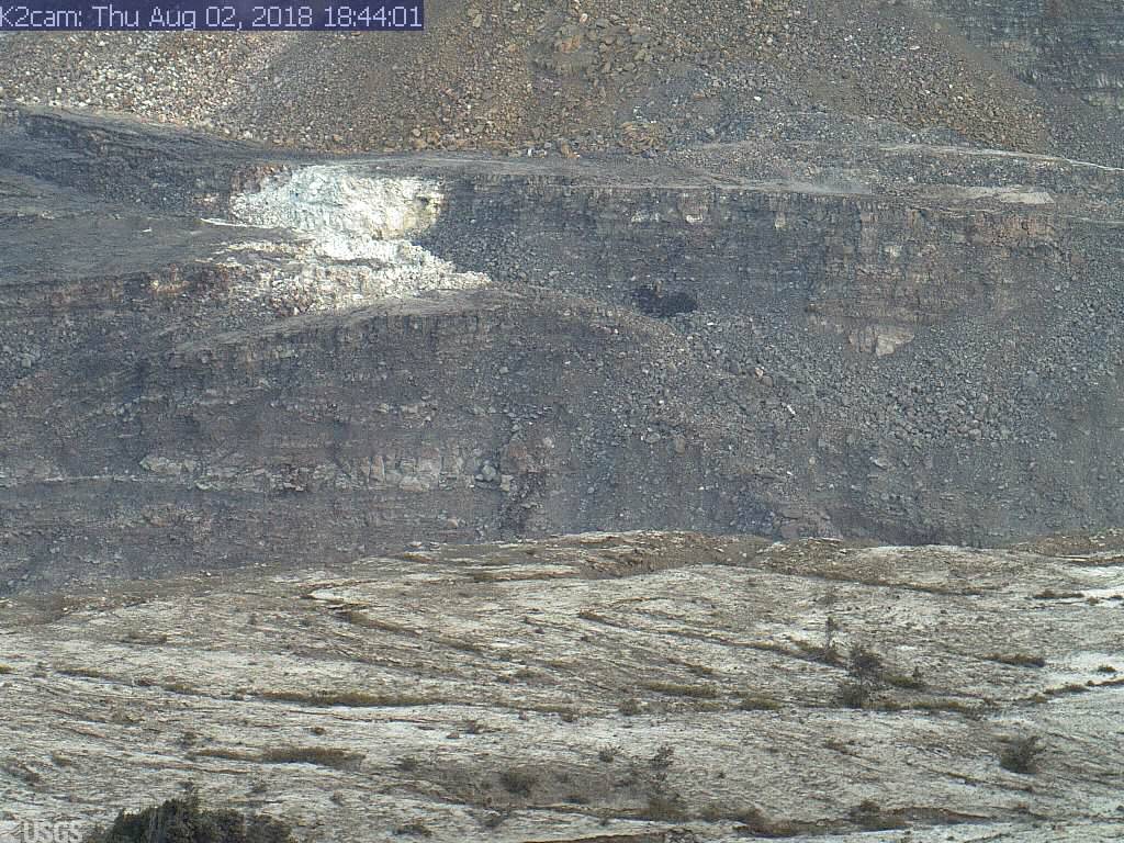
There’s been spots of incandescence, fuming, and small lava flows within the Fissure 8 cone for the past week, a few of which have oozed into the spillway, but eruptive activity remains confined to the cone. These have partly filled in the crater’s deep pit.
Earlier this week there was a sputtery little mini-cone building on the floor of the Fissure 8 cone.
It looks like the USGS is now using drone overflights instead of morning helicopter rides, which is probably a relief to residents living just outside the evacuation zone.
However, starting Thursday September 6, tiltmeters in the mid East Rift Zone have registered minor amounts of inflation. “The current rates [of inflation] are much smaller than those measured during the period of major eruptive activity and are not changing rapidly.” —HVO Thursday status report
Sulfur dioxide emissions remain lower than at any time since 2007, including those at LERZ vents which are now so low as to be barely detectable.
And yeah, there’s another small hurricane headed for Hawai’i. It’s very unusual for one to make landfall on any of the islands instead of just brushing past offshore, but Olivia looks set to cross the island chain.
- HVO Volcano Watch’s newsletter this week shows that we’ve transitioned from reports about current eruptive activity to studying and learning from it: “Scientists share lessons from Kilauea at “Cities on Volcanoes” conference
September 6 Video from Mick Kalber
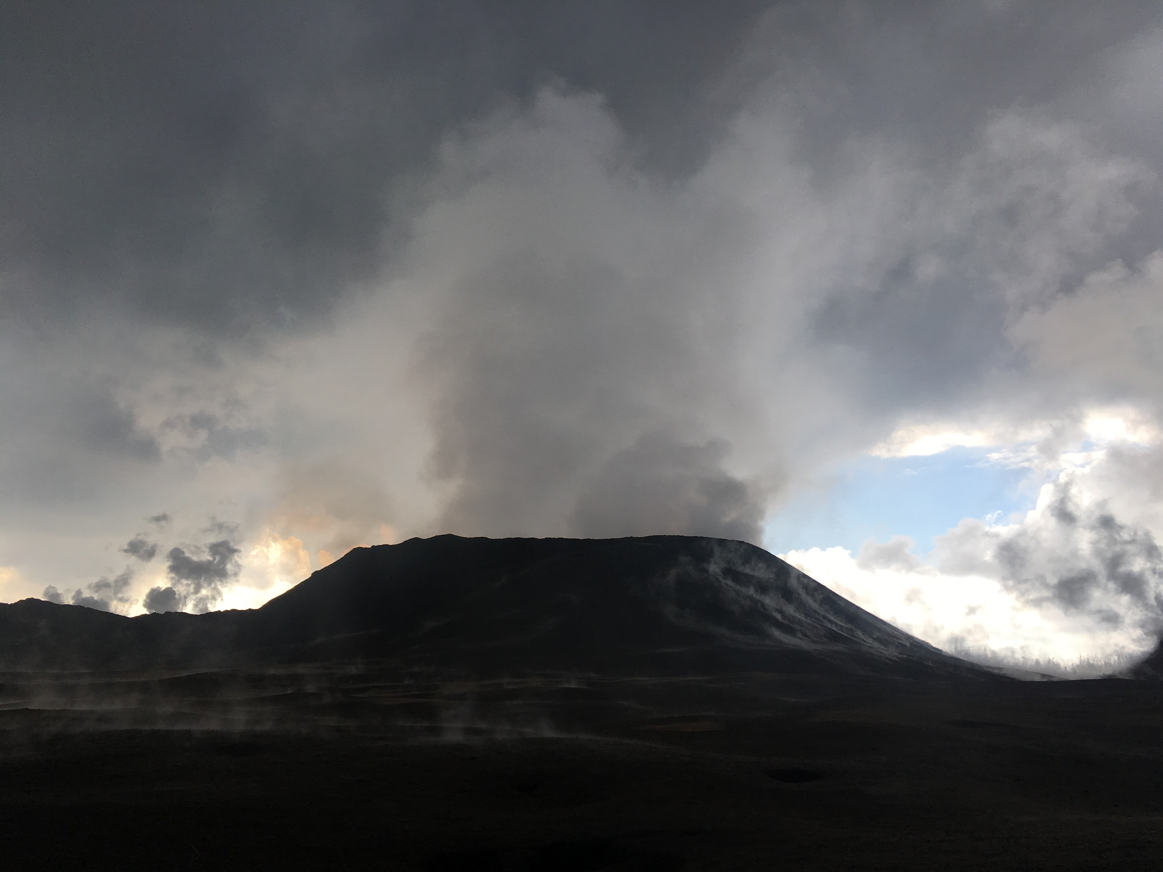
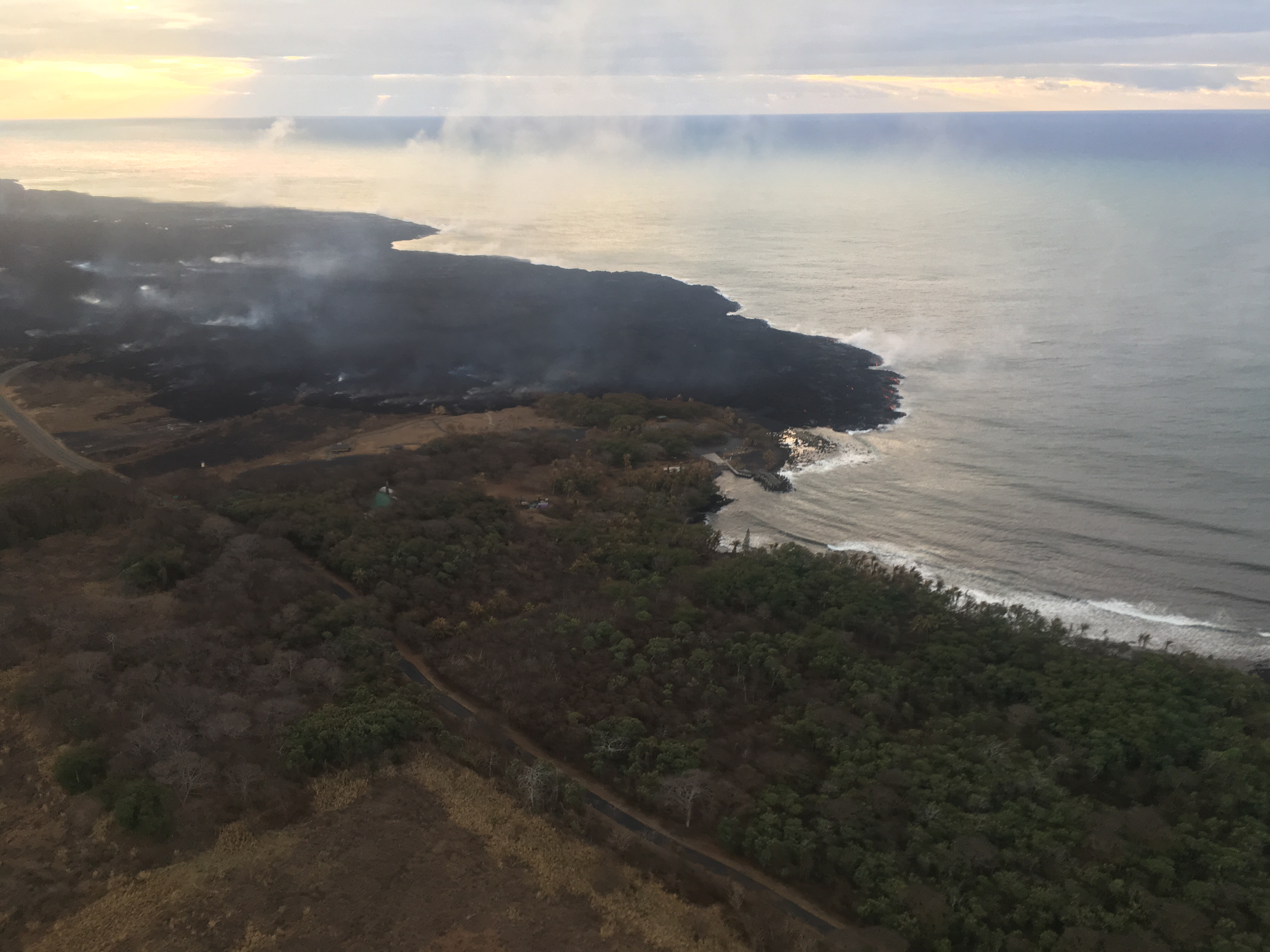
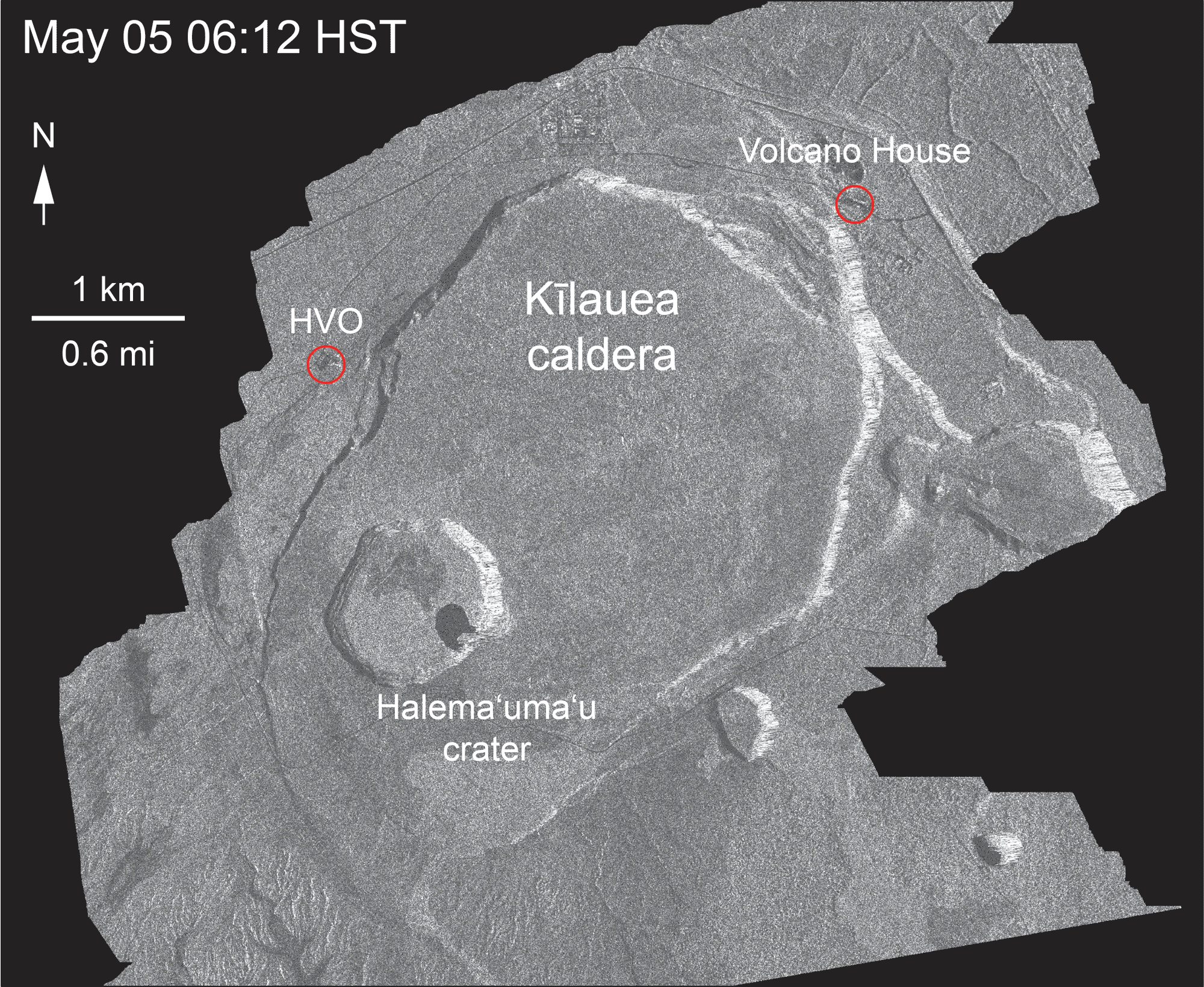
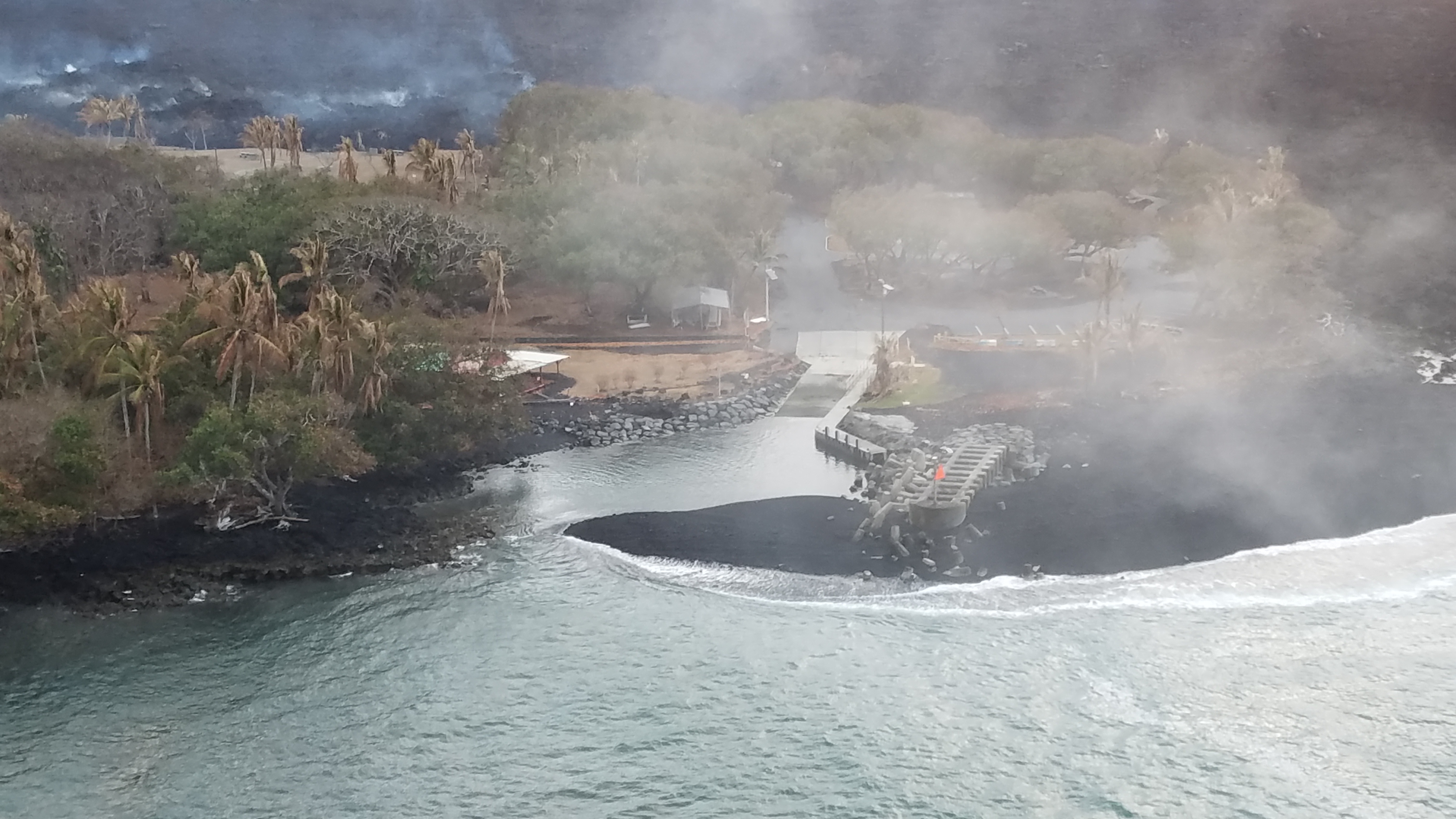
At 6AM The LERZ was cloudy and steamy, but there’s some great views down into Pu’u O’o Crater. Be sure to check out timestamp 2:00; clear view of Halema’uma’u and summit in the distance. Notes/observations on lava update blog.
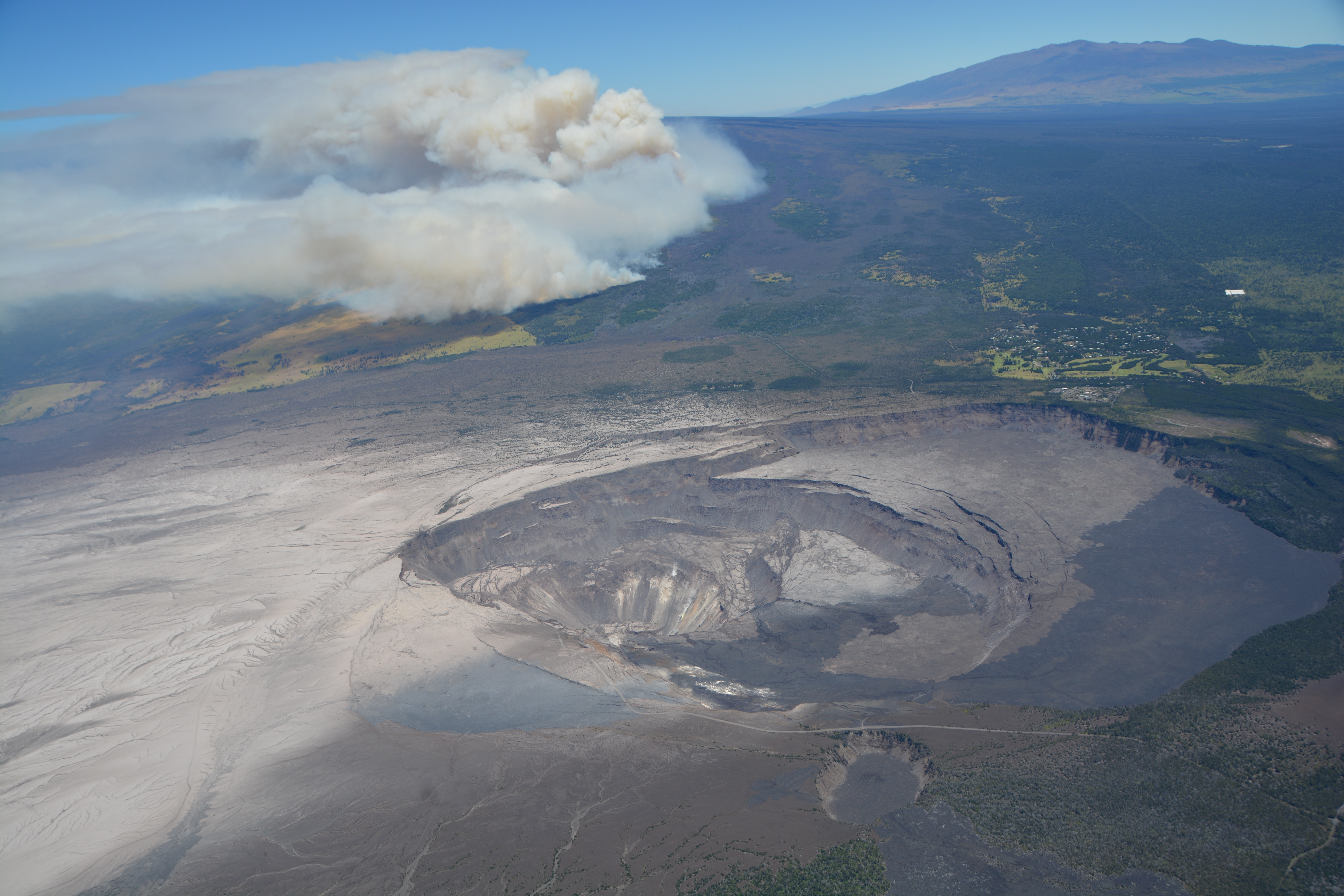
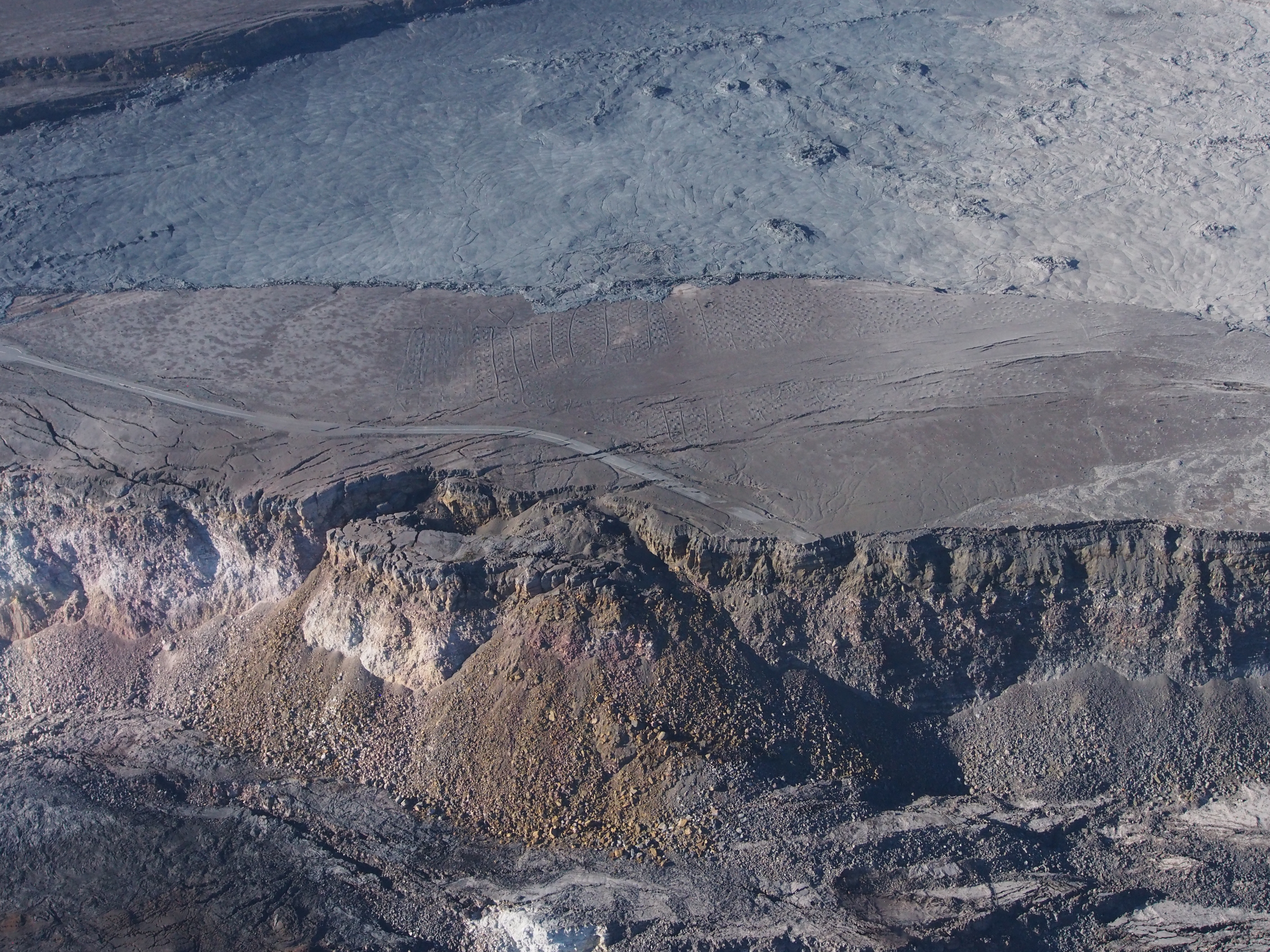
Bruce Omori also posted observations and 6 photos from this flight on his Facebook, including these lovely views of dawn-golden Kilauea Caldera from afar:
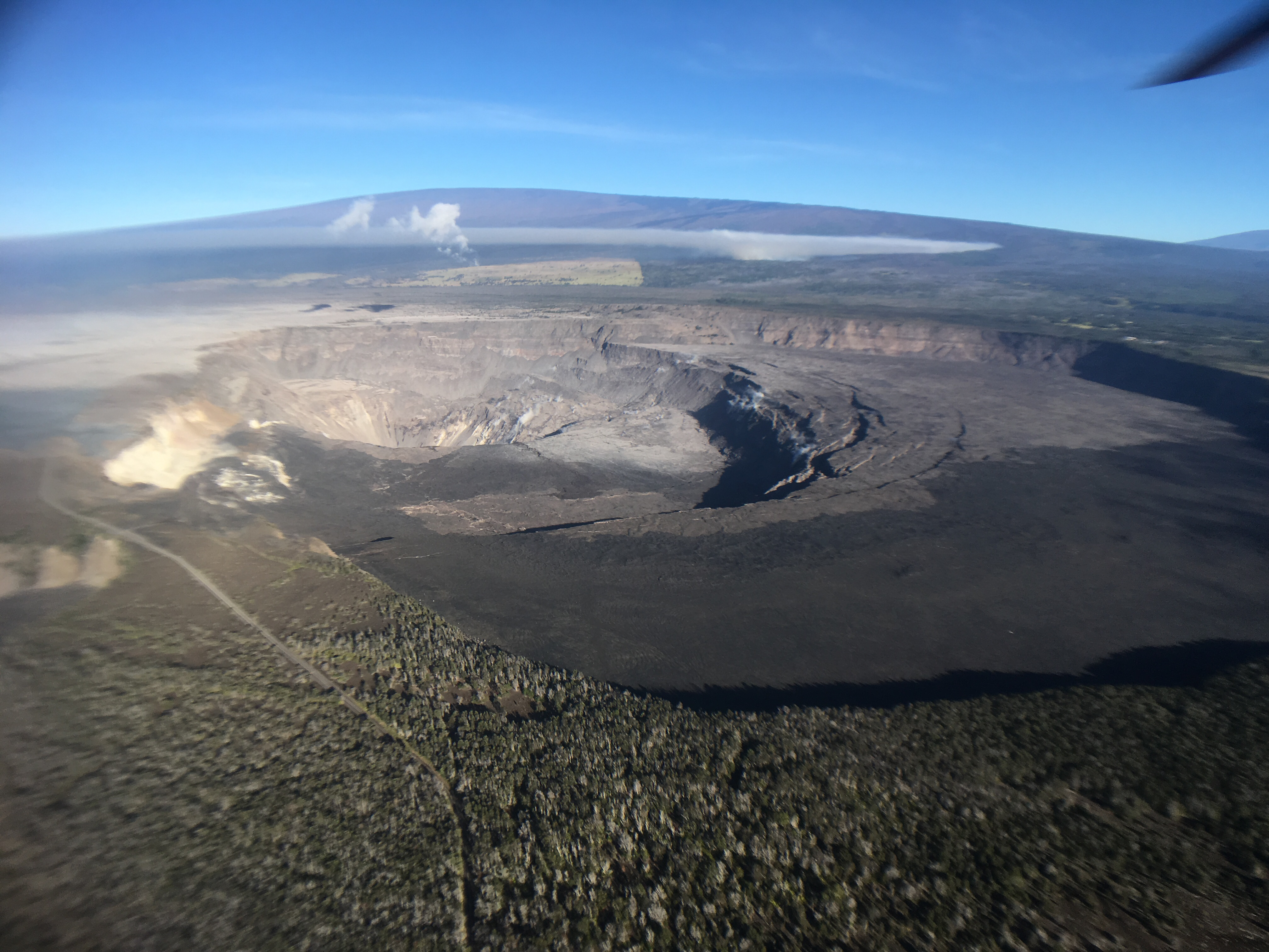
Thursday, Sep 6, 2018, 6:00 am – Kilauea's lower east rift zone overflight: Kīlauea, overshadowed by Mauna Loa.
Posted by Extreme Exposure Fine Art Gallery on Thursday, September 6, 2018
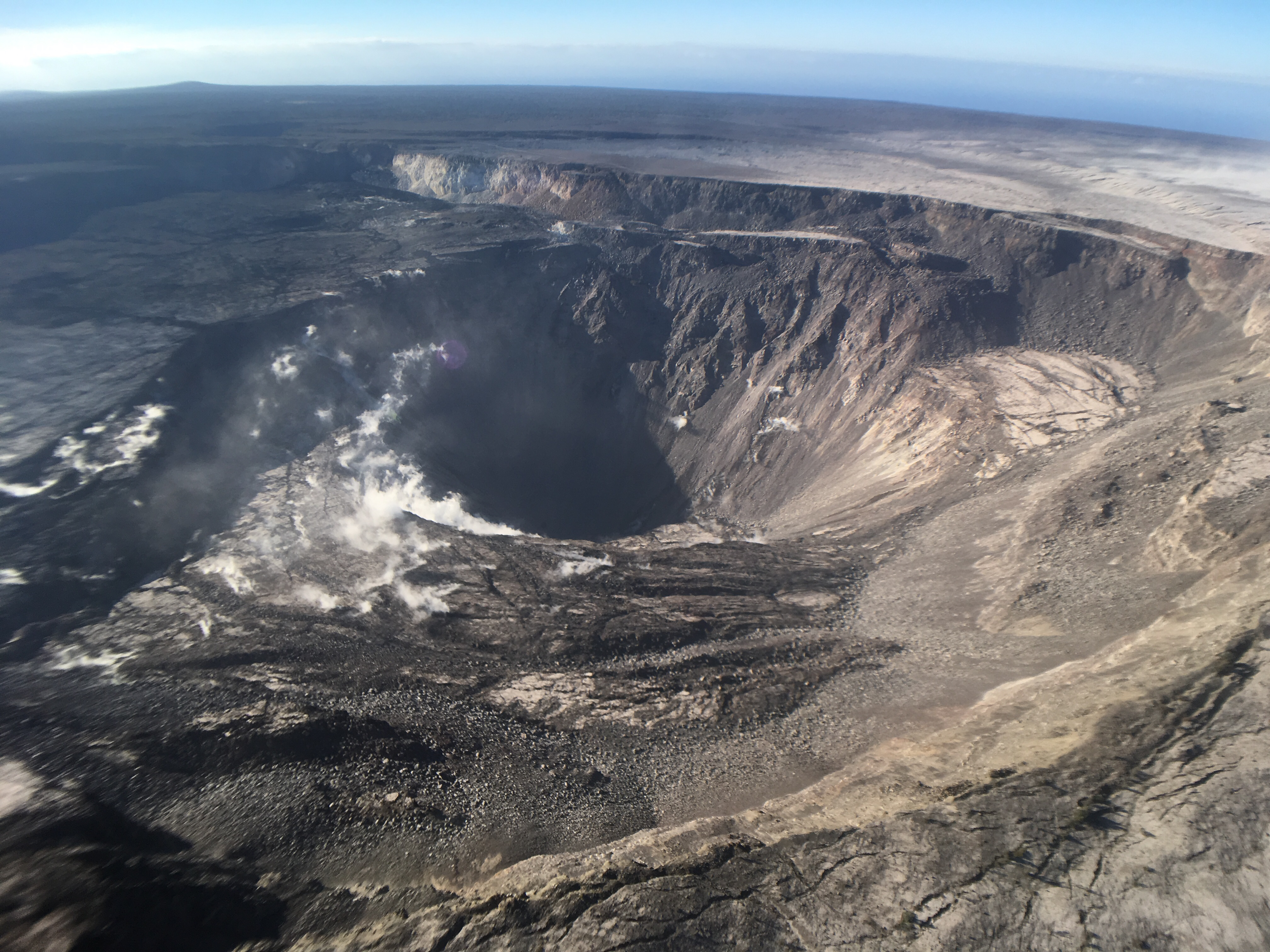
Thursday, Sep 6, 2018, 6:00 am – Kilauea's lower east rift zone overflight: A spectacular view of Halema‘uma‘u, with Kīlauea Iki in the foreground.
Posted by Extreme Exposure Fine Art Gallery on Thursday, September 6, 2018
Continue reading September 9: Leilani Estates Residents Return; MacKenzie Beaches Reopen


