June 23: Pele’s Latest Trick – Lava Boats (Lavabergs)

Today’s Eruption Summary

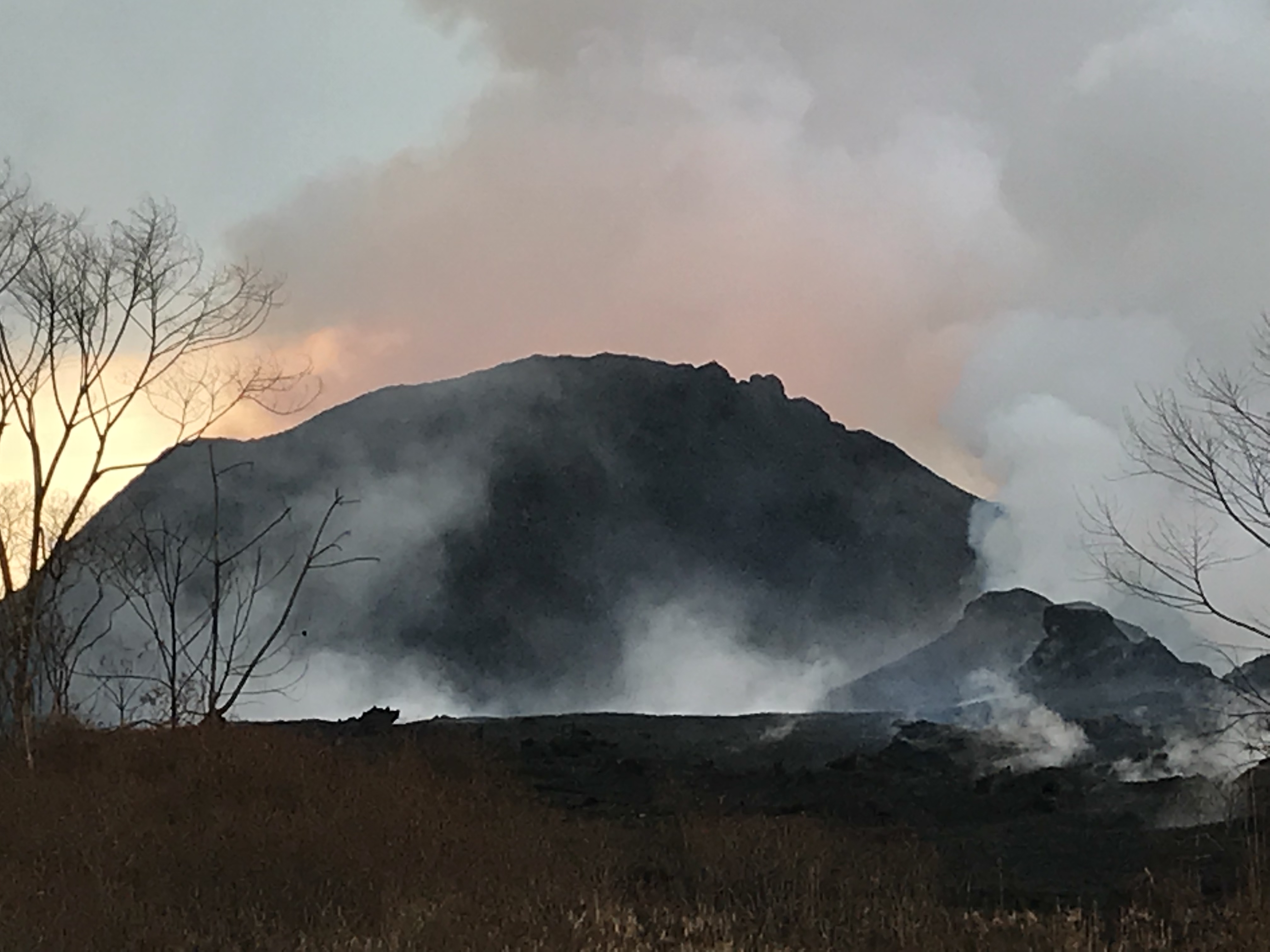
Fissure 8 just keeps on going, as if it’s settling in for a Pu’u O’o eruption rather than a 1955/1960 eruption.  Once again, there’s minor overflows upriver that don’t go anywhere. The ocean entry is mostly via the channel on the south side of the lava delta, but there’s also trickles along a kilometer-wide stretch of shore. Fissure 22 showed incandescence but no lava during the USGS morning overflight.

The USGS was skimpy on images today but gave us a treat: a timelapse of what they call “lava boats.”

Here’s their explanation: “Geologists captured this time-lapse video of the perched lava channel issuing from fissure 8 on Kīlauea’s lower East Rift Zone. Rafts of accreted lava move down stream and look like boats moving down a river. These are termed lava balls or lava boats and form when portions of the fissure 8 cone or levees break away and are rafted down stream. As they move along in the channel, additional lava can cool to their surface to form accretionary lava balls.”

After lots of minor earthquakes and rockfalls that sent up small plumes of dust, the daily summit “collapse explosion” occurred at 4:34pm. It sent up a 2000-foot plume, once again equivalent to 5.3 earthquake. Again, I couldn’t resist a video capture:

The runup to today’s explosion was impressive. There was one cascade of dust and rubble all the way around the walls that I would’ve taken for the day’s explosive event, except that there was no camera shake beforehand. Doubtless it was one of these:

There’s not much news today, so let’s hitch a ride with the Hawaii County Fire Department and follow the lava river to the ocean. But first….

USGS: “On June 23, 2018 at 4:32 p.m. HST after approximately 17 hours of elevated seismicity, a collapse explosion occurred at the summit if Kīlauea. The energy released by the event was equivalent to a magnitude 5.3 earthquake. During the intense shaking, rockfalls cascaded down the northern margin of the caldera wall just below Uwēkahuna Bluff sending rock dust into the air.” (Full-sized)
More on Lava Boats

I’d asked about the “lava boats” before that video was posted: “What’s forming those so-called “lava bergs”? Are they chunks off the sides of the levees? Do they indicate erosion/undermining of lava channel’s banks analogous to meanders of an H20 river, with risk of wearing through?”

@USGSVolcanoes offered some additional info in response:  “They are chunks of the sides of levees as well as bits of the cone. As lava moves by them in the channel, they can be coated, dislodged, etc. Different than water – lava cools against cooler surfaces (channel sides) & we’ve started to see portions roofing over (forming tubes).” And when someone else asked if the whole 8 mile channel might become a lava tube: “It’s a possibility, but not necessarily guaranteed. It’s easier in places where the channel is already narrow.”

Which doesn’t answer my question about erosion/meanders, but looking back, they answered another question about braided lava channels on June 11 with this paper, which emphasizes that viscosity is a major factor in lava flows, whereas in H2O it’s particles in water.

Someone else’s Q on “lava boats”: ” Are these what’s floating beyond the ocean entry?
USGS: That’s a different process. The chunks floating beyond the ocean entry are bits of very bubble-rich lava-rock. When lava enters the sea there is sometimes an explosive process that expels rocks – the heat of the rock combined with the amount of bubbles causes these pieces to float for a while. Eventually, they cool, fill with water, and sink. 

  • Awkward place to stick this, but so I don’t forget: this week’s HVO “Volcano Watch” newsletter focused on “Mauna Loa Back to Normal.
More USGS on Social Media

Q: What will happen if the summit collapse continues?
USGS: There are several options: It could enlarge to a point and then the explosive activity could stop, or it could enlarge the crater and the explosions could change character.

Aha! It turns out the USGS posted photos today only on Facebook. Someday when things calm down, they need to comb their social media channels and make sure they’ve archived everything on the HVO website and/or USGS media library.
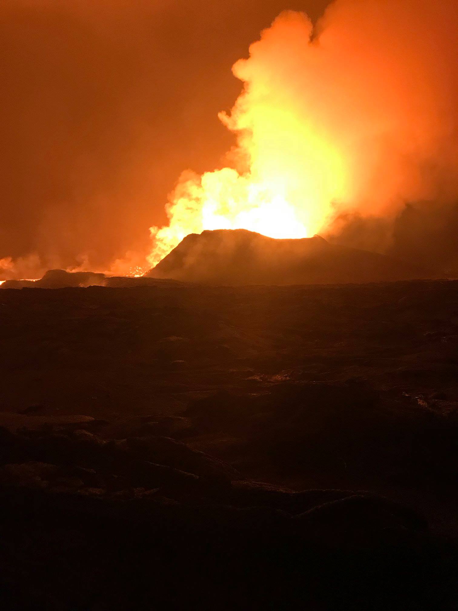
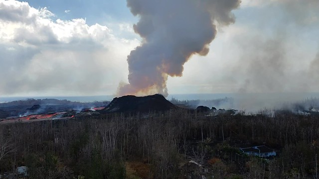
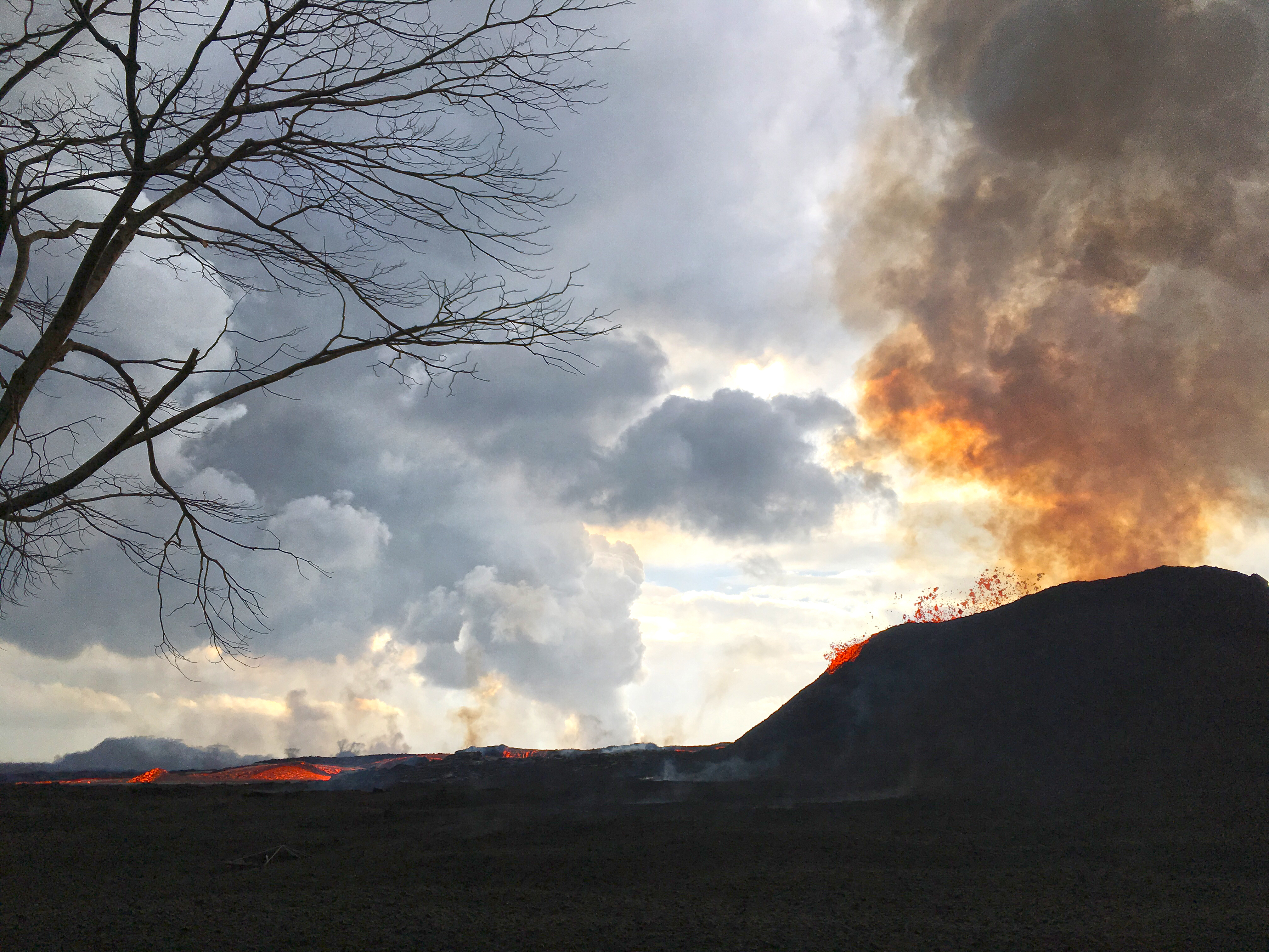
USGS: “Fissure 8 fountain, as observed from the Leilani Estates subdivision. USGS-HVO crews noted that during the overnight hours, the lava fountain typically reached heights similar to the height of the cinder cone, with sporadic bursts sending lava higher than the cone (as pictured in this image).
USGS image taken June 23, 2018, around 12:46 AM.” (Full-sized)
USGS: “HVO field crews are on site in the lower East Rift Zone, tracking the fountains, lava flows, and spattering from Fissure 8 as conditions allow and are reporting information to Hawaii County Civil Defense. Crews also make measurements and observations of ground cracks in the area, as shown in this image taken near fissure 9.
USGS image taken during the afternoon of June 22, 2018.” (Full-sized)
USGS: “View of the lava channel from ground level, with the Kapoho Crater in the upper left. The active channel is the horizontal silver-colored line in the upper third of the photo. Lava travels about 5 miles per hour in this area.
USGS image taken during the afternoon of June 22, 2018.” (Full-sized)
From Other Scientists

From Fissure 8 to the Sea with HCFD

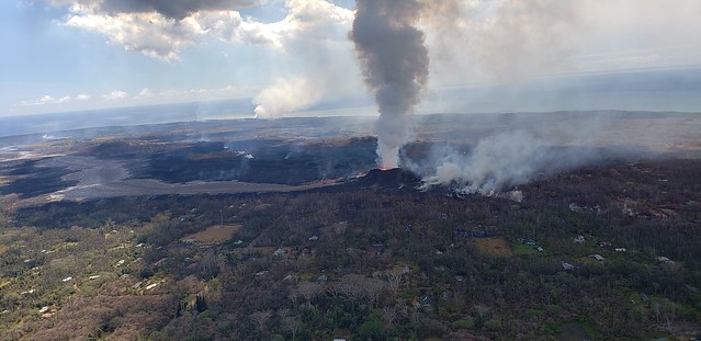
If the USGS is too busy to post photos, the Hawai’i County Fire Department takes up the slack. (Unlike Facebook, Flickr is Google-able). Today Civil Defense shared their latest photo album, and once again I’m impressed by the definition of the camera they’re using compared to everybody else.

A small sample:

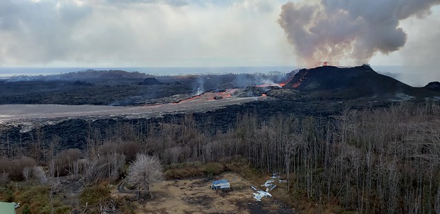
Looking southeast towards the “Y” junction at Pokoihi Rd, Kapoho Rd and 132 (Google Map) with Puna Geothermal Ventures in the background on the left:
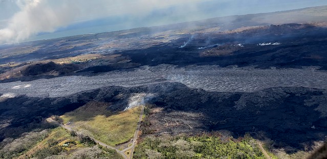
06/19/18 Kilauea, HI - East Rift Zone Eruption Event

Left and right, as different as night and day:
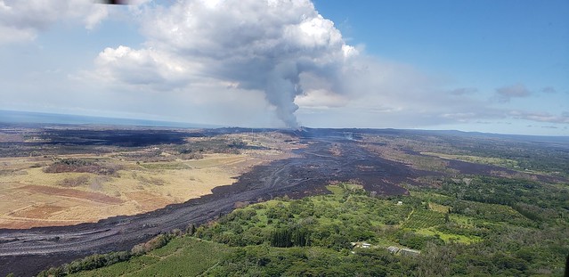
06/19/18 Kilauea, HI - East Rift Zone Eruption Event

A disagreeable neighbor:

06/19/18 Kilauea, HI - East Rift Zone Eruption Event

Looking towards the new lava delta:

06/19/18 Kilauea, HI - East Rift Zone Eruption Event

Past the Lava Rooster house (near that mast):
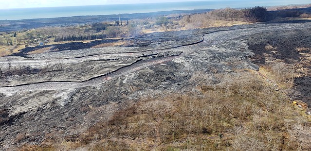
06/19/18 Kilauea, HI - East Rift Zone Eruption Event

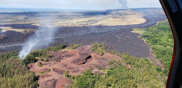
Past the Cinder Pit:

06/19/18 Kilauea, HI - East Rift Zone Eruption Event

Around Kapoho Crater (and former Green Lake):
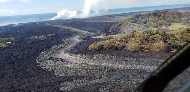
06/19/18 Kilauea, HI - East Rift Zone Eruption Event

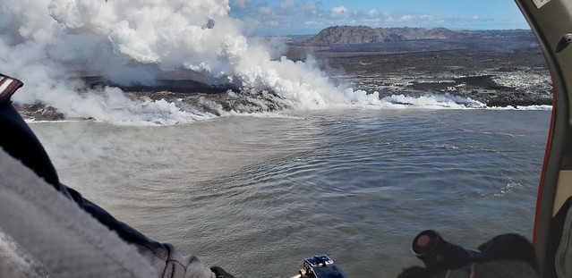
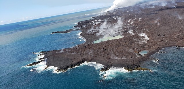
To the sea. (Note upwelling.)

06/19/18 Kilauea, HI - East Rift Zone Eruption Event

New land.

06/19/18 Kilauea, HI - East Rift Zone Eruption Event

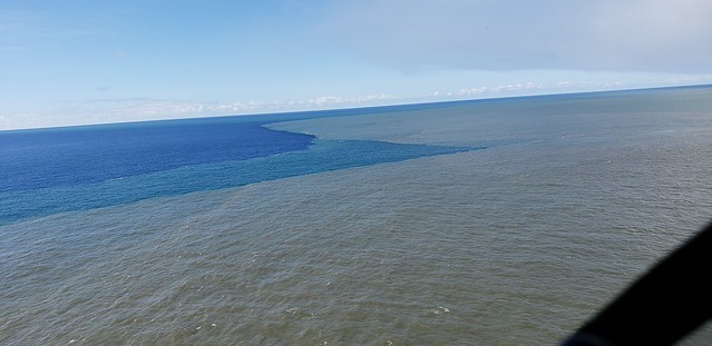
Effects extend offshore…

06/19/18 Kilauea, HI - East Rift Zone Eruption Event

So far, so lucky. (Note the 1960 lava flow with roads on it.)
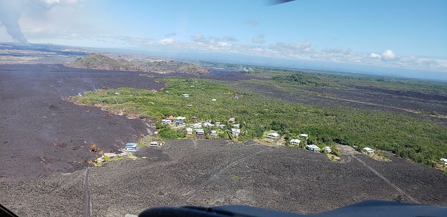
06/19/18 Kilauea, HI - East Rift Zone Eruption Event

(warning: helicopter noise)

06/19/18 Kilauea, HI - East Rift Zone Eruption Event

Sorry, got carried away. But there’s another 98 photos/videos in that album, including video all along the route and detailed views of houses, farms, even a dock.

From News Outlets

HNN is taking the weekend off; they’ve more than earned it. (Today they just altered a headline and called it a day: “637 homes destroyed by lava amid explosions, eruptions on the Big Island“) But KHON2 took up the slack:

Moment of Aloha

While we wait for daily explosions, the people living on Kilauea endure earthquake swarms, as Dispatches from Volcano describes today. Also, he waxes eloquent on the topic of naming Fissure 8.

STill More Photography/Videos

First up, Mick Kalber getting up close and personal with whatever it’s called. Good views of a spillover, Fissure 22 incandescence, and the red lava at the ocean entry. (Blog post on this overflight)

Here’s that spillover with streets labeled:

Other pros are still hitching rides with Paradise Helicopters and/or the National Guard:

Fissure #8, new Pu'u 'O'o? (06/21/2018)

A post shared by Janice W. (@janice_weicool) on

A lava sun. A sunset behind gas plume from fissure #8.

A post shared by Janice W. (@janice_weicool) on

(East is left in the Kilauea livecam)
June 19: Steve Brantley USGS Talk on Eruption Status

On Tuesday, June 19, there was a Puna Community Meeting at Pahoa High School at 5pm. As usual, Steve Brantley of the Hawaiian Volcano Observatory/USGS gave an excellent slide presentation reviewing the current state of the Kilauea eruiption. He covered the “perched lava flow” in the Lower Rift Zone and the dramatic changes at the summit, placing each in context with previous similar events. (I didn’t realize there were records of many past Halema’uma’u collapses).

Video of the entire meeting is posted here. The USGS talk starts at 42:40. I’ve transcribed it below, adding photos when I have something close (and restoring his graphs/diagrams which don’t come through very well on video recording).

Steve Brantley, HVO/USGS:

Continue reading June 19: Steve Brantley USGS Talk on Eruption Status

June 20: Jaggar Museum Collection Rescued

Today’s Eruption Summary:

Status quo continues, with Fissure 8 feeding a large, fast-flowing channel to the ocean, where it’s entering on the south side of the lava delta today. Upstream along the river, there’s occasional spillovers, but these never travel far from the levees. Top speeds on June 18 were measured at 20mph, by the way. Fissures 6 and 16 have reverted to fuming. (I see no white speck left of Fissure 8 on the LERZ webcam [correction: it’s back at 9:45pm]). Today’s summit explosion occurred at 4:22am (5.3ish), with a minor ash plume rising 6,000 feet above sea level (2000 feet above Kilauea).

Saying Goodbye (At Least For Now)
USGS: “The rock wall at the Jaggar Museum Overlook is cracked and crumbling.
USGS image taken June 18, 2018.”

Today’s big news was confirmation that Jaggar Museum has evacuated its exhibits:

Hawaii Volcanoes NPS: “The cracks on the floor are from earthquake damage. Structural damage from the quakes may have already compromised the building. The observation deck has a new and noticeable tilt. The bigger worry is the increasing and dangerous instability of the crater rim under the building.”

Meanwhile, HVO staff is “making arrangements to remove as much archival and historical material as possible from the buildings,”  They’re so busy monitoring this eruption that I think they may need to hire movers:

Outside, it’s time to bid farewell to the old Halema’uma’u overlook & parking lot:

USGS: “View of the southern edge of the growing Halema‘uma‘u crater (middle right) during yesterday’s [Jun 19] helicopter-assisted work at Kīlauea’s summit. The once-popular parking lot (closed since 2008) that provided access to Halema‘uma‘u is no longer–the parking lot fell into the crater this past week as more and more of the Kīlauea Crater floor slides into Halema‘uma‘u. The Crater Rim Drive road (middle) now ends at Halema‘uma‘u instead of the parking lot. The view is toward the west-northwest.” (Full-sized)
More USGS PHOTOS

Continue reading June 20: Jaggar Museum Collection Rescued

June 19: Magnificent Desolation

Six weeks in, this eruption can still take one’s breath away.

USGS: During the helicopter overflight on June 18, crews captured this image of the growing Halema‘uma‘u crater viewed to the southeast. With HVO and Jagger Museum sitting on the caldera rim (right side, middle where the road bends to the left) it is easier to comprehend the scale of subsidence at the summit. The estimated total volume loss is about 260 million cubic meters as of June 15th. (Full-sized)

USGS: “Fissure 8 vigor increased overnight June 18-19 with lava fountains reaching up to 60 m (200 ft). Spatter built up the cone to the east and into the channel. In this photograph, spatter lands on the east cone and flows downward.” (Full-sized)
Today’s Eruption Summary

Today’s summit explosion came early, 5:05am HST, with a weak ash/gas plume that reached 5,000 feet above sea level (Kilauea is ~4,000). Every one of these explosions means more downdropping and subsidence, resulting in the colossal changes we’re seeing to Halema’uma’u.

In the Lower East Rift Zone, Fissure 8 climbed back up to 200 foot fountains last night, beefing up the sides of its cone with spatter (but not adding much more height).  This morning the river was full to the top of its levees with a few minor breakouts.

Some of these overflows made it past the edge of earlier flows. One went north up Pohoiki Road a short distance before stalling, while another crept northwest along Luana Street. Fissure 6, 15, 16 are “oozing” lava and steaming. Near the ocean, the channel has forked to create two ocean entries, but the only place where it’s still covering more land is a creeping southwest edge of the lava flow in the Vacationland area.

(Above vimeo channel is nothing but daily ocean entry videos.)

More USGS Images and Videos

Continue reading June 19: Magnificent Desolation

June 18: Harry Kim Needs to Rest

Today’s Eruption Summary
USGS gif of F8 lava flow  Jun 17.

Fissure 8’s still doing its thing, fountaining 150-180 feet overnight with 164 foot spatter cone. The usual minor spillovers on the channel to the ocean. Today the lava’s entering the ocean mostly on the south side of the lava delta in the vicinity of Vacationland. Fissure 16/18 are still oozing, and fissure 6 (the bright spot to the left of Fissure 8 on the LERZ webcam at night) is intermittently incandescent or spattering. Both are “forming small lava flows on top of the existing flows.

USGS on Facebook: “About midday, minor amounts of lava spilled over the channel levees but did not advance very far. USGS image taken June 18, 2018 of the upper flow field, just downstream from fissure 8. The ocean entry is marked by a visible plume in the upper left.”

The summit’s daily explosion occurred at 6:12 am, moment magnitude 5.3. It produced a “very small, minor plume that went no more than 500 meters above the ground.” (Brian Shiro in 11AM conference call):

I rewound the Kilauea livestream to watch. The crater was steaming with small white puffy clouds of morning condensation. I saw the window frame vibrate, but the short-lived plume of ash/steam obscured the crater rim, so I didn’t spot any downdrops or rockfalls like we’ve seen for the past few days.

Below: Lots of great photos of summit and LERZ lava field today, and excellent Q&As from USGS on social media.

Continue reading June 18: Harry Kim Needs to Rest

June 18: USGS Kilauea Conference Call

BigIslandVideoNews posted an abridged version of today’s USGS Media Conference Call:

Here’s the full unabridged audio recording.  Below, I take notes/paraphrase, for anyone who’s especially interested in the nitty gritty of what’s going on with the volcano.

June 18 USGS 11AM Media Conference Call

Continue reading June 18: USGS Kilauea Conference Call

June 17: Father’s Day

Thanks, Dad. I was supposed to be giving you presents today!

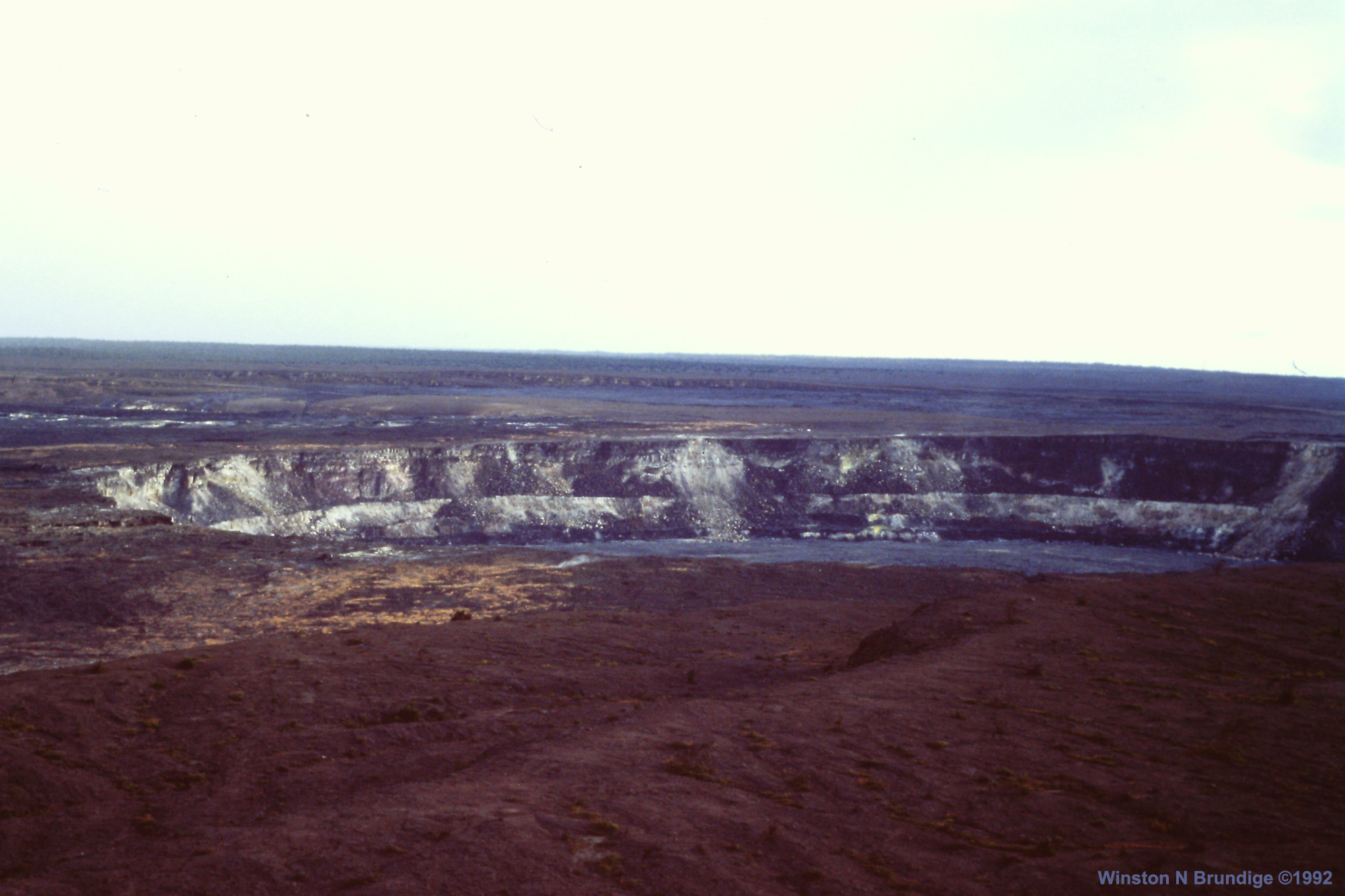
November 1992. Halema’uma’u from Jaggar Museum. Photograph by Winston N. Brundige.

HVO approved:

TODAY’S ERUPTION SUMMARY

Meanwhile, Kilauea continues to follow the recent status quo, summed up in HVO’s afternoon Kilauea update.

The Lower East Zone’s unnamed giant booms in its cone, fountains rising to 165 feet, lava cascading out of it at 15mph.

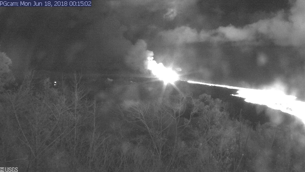
USGS: Pu’u continues to make bid for naming. (Full-sized)Fissures 16/18 keep oozing or spattering. “Incandescence (visible in PGcam to the left of fissure 8 most nights) and mild spattering were observed from Fissure 6.”

bLet’s see. Are you there tonight, Spot?

LERZ webcam screengrab, early morning Jun 18.

Yep.

“The flow field is relatively stable with little change to its size and shape for the past few days…”

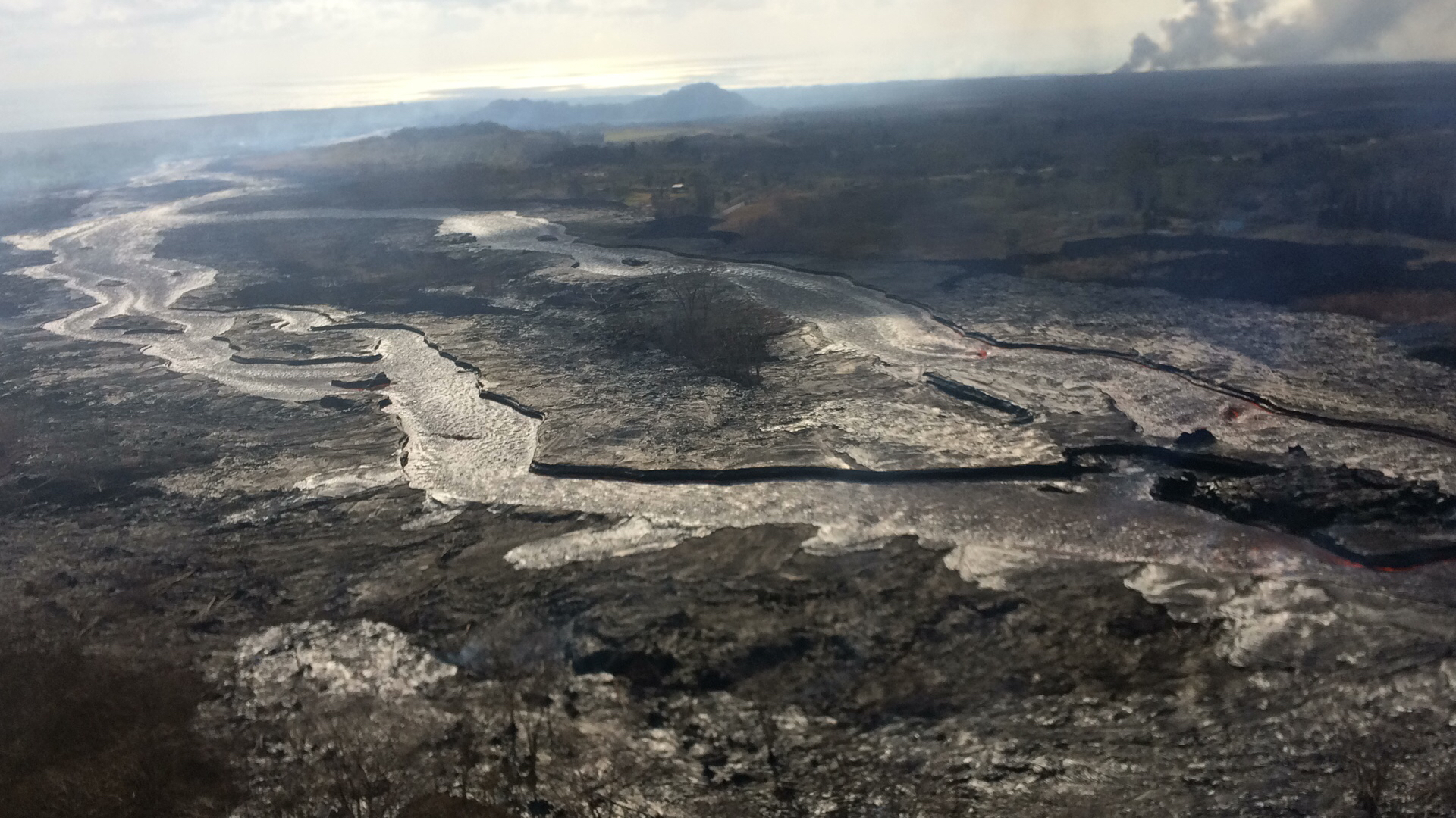
USGS: “Occasionally, minor amounts of lava briefly spill over the lava channel levees. The spill overs are the shiny gray lobes along the channel margins… View to the east, with the plume in the upper right showing the location of the ocean entry.” (Full-sized)

“Observations are also collected on a daily basis from cracks in the area of Highway 130; no changes in temperature, crack width, or gas emissions have been noted for several days…”

At the summit, the daily subsurface explosion occured at 6:26am HST. “The resulting gas plume, reported to be brief and nearly devoid of ash, was observed to 5,000 to 7,000 ft above sea level.”

USGS: “Inward slumping of the rim and walls of Halema‘uma‘u continues in response to ongoing subsidence at the summit. Sulfur dioxide emissions from the volcano’s summit have dropped to levels that are about half those measured prior to the onset of the current episode of eruptive activity. This gas and very minor amounts of ash are being transported downwind, with small bursts of ash and gas accompanying intermittent explosive activity. The view is from Volcano House, looking toward the west.” (Full-sized)

This is the eighth day in a a row the daily event has released the energy of a 5.3 earthquake. For the month of June, they’ve all fallen in a range of 5.0 to 5.4.

“After this morning’s explosive event, seismicity at Kīlauea’s summit is slowly increasing. Inward slumping of the rim and walls of Halemaʻumaʻu continues in response to ongoing subsidence at the summit.”

Below the cut: a little local news, one of Mick Kalber’s best overflights of the Fissure 8/Kapoho area, and the work of a must-see photographer.

Continue reading June 17: Father’s Day

June 16: Things Moving Sideways or Down Quite Rapidly

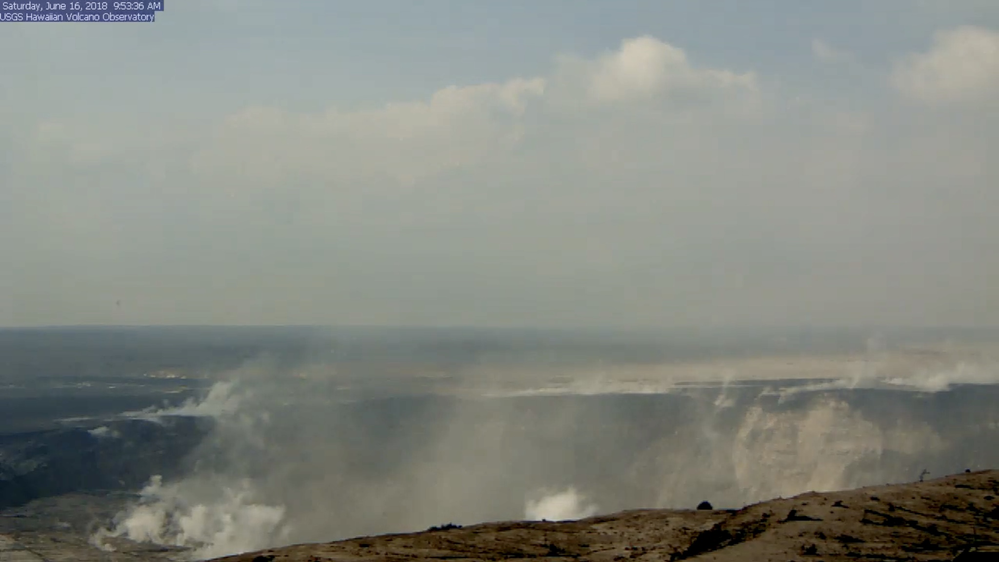
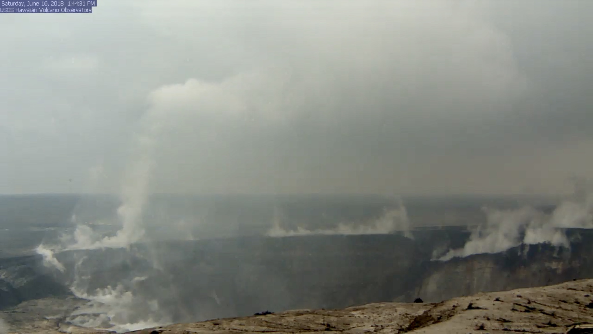
HVO’s Kilauea Summit Livestream caught today’s Halema’uma’u “subsurface explosion” (is that what we’re calling them now?) and — wow!

Halema’uma’u BEFORE: screengrab of USGS/HVO Kilauea Livestream before the day’s explosive event. I’ve boosted the exposure to bring out details. (Jun 16, 2018)

(a few hours later, when, luckily, it was still possible to rewind the livestream back to the time of the explosion, since I missed it.)

Halema’uma’u Crater AFTER: screengrab of USGS/HVO Kilauea Livestream taken later in the day after the dust had settled. Look at that big chunk of the rim that dropped on the right!

We’ve been hearing about subsidence, slumping, and rockfalls for weeks, but there’s nothing quite like seeing it, even if the video’s a bit fuzzy. I took the liberty of saving a clip:

Radar showed the plume was less than 7000 feet, and as usual the energy release checked in at 5.3.

While I rewound the livestream to grab that clip before it fell off the “back” of the livestream conveyor belt, it looks like I jumped right over this:

There was still a column of steam at that spot when I checked an hour later, but I don’t recall it spinning.

Okay, enough fiddling with the livestream. 

What else happened today? Same as the last few days, to the point that I had to double-check the date on today’s HVO  Kilauea status report.  Fissure 8’s cone is holding at 170 feet, fountains currently around 185-200 feet. Fissure 16/18 continues to ooze.

The lava river is running as fast as ever:

Despite the increased vog due to lack of tradewinds, that’s the clearest overflight video I’ve seen in days.

Mick Kalber notes the pahoehoe channel now cuts all the way through the a’a field to the ocean, which may explain recent videos of lava racing at amazing speeds…

Continue reading June 16: Things Moving Sideways or Down Quite Rapidly

June 15: Summit Explosion Captured on Livestream

USGS: “Photograph taken during helicopter overflight captures fissure 8 lava fountain.” This one’s wonderfully moody with subtle textures close up. (Full-sized)

Lava fountains rise and fall, but the river they  feed remains the same: a vigorously-flowing channel down to a wide ocean entry, with occasional small overflows slopping over the levees (banks). Last night, Fissure 8’s fountains were reaching 200 feet; today they dropped again to 100-130 feet with bursts up to 180.  Its cinder cone, built of spatter and tephra falling around the fountains, is now 170 feet tall.

When is somebody going to name this pu’u? 

USGS: “Lava fountains from Fissure 8 reach heights of 200 ft overnight. The cinder and spatter cone that is building around the fissure is now about 165 ft at its highest point. At times, fissure activity is hidden behind the cinder and spatter cone, as shown in this image.” (Full-sized)

Frequency of earthquakes ramped up Thursday night, with more M3s than before. Today’s M5.3 summit explosion was late, finally popping at 11:56am, sending up an ash-poor (?) cloud 10,000 feet. HVO: “It didn’t produce a distinct plume, which is why we say ‘ash and gases’ instead.” This cycle of daily explosive events has been going on since May 26 or 29, depending on how rigidly one defines the pattern.

All right, let’s get to the science. And a rather foggy but nevertheless genuine video clip of one of Halema’uma’u’s daily explosions.

Continue reading June 15: Summit Explosion Captured on Livestream

June 14: The Face of Pele

Let me pause my science-blogging for a moment and direct your attention to a very special visitor in yesterday’s Tropical Visions overflight video.

About timestamp 0:30 in June 13 overflight video, Madame Pele’s profile appears in the partly-cooled lava. Mahalo to Tutu Pele, to Mick Kalber for his tireless aerial videography, and to my mother for pointing her out to me. [Although it sounds like Mick took the day off, and I should thank Mick’s co-photographer lavajavadude.]
Respect.

Now, how do I transition from that back to the science side of Kilauea?

Today’s Eruption Summary

Last night and today, Fissure 8’s fountains have rebounded to 200 feet, but the cinder/spatter cone they’ve built is so tall they’re just peeking out:

USGS: “The Fissure 8 viewed from the north at 7:50 AM. The cone is roughly 50 m (165 ft) high at is peak, and a plume of sulfur dioxide and other volcanic gases rises as an orange tinge from the erupting lava fountains (hidden within the cone). Lava is still flowing out of the vent unabated as a full channel. To the left of the cone, a standing wave of lava can be seen in the channel.” (Full-sized)

Fissures 16 and 17 continue to “ooze,” to borrow the USGS’ technical term.

Fissure 8’s lava river remains fast, wide and healthy. It stays incandescent red rather than skimmed over for many miles, which shows just how hot and voluminous it is (26,000 gallons/second). It’s entering the ocean along a dramatically broad front (second half of video clip):

Today’s summit explosion (energy equivalent of M5.3, like clockwork) occurred at 3:19am HST, with an ash plume to 6,000 feet. Again, there were lots of earthquakes in the hours leading up to it, then they dropped off, and now they’re ramping back up to the next explosion. This pattern must be getting pretty old for the nearby residents of Volcano.

After the cut:

USGS info on the ongoing eruption, timelapses of recent changes at the summit, Kilauea-related news, and more stunning photos.

Continue reading June 14: The Face of Pele