Thanks, Dad. I was supposed to be giving you presents today!
HVO approved:
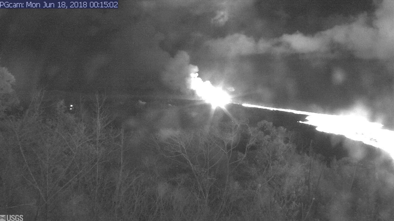
When our followers create great animated gifs of change at Kilauea Summit! 🤗 https://t.co/mMoEwqtqY0
— USGS Volcanoes🌋 (@USGSVolcanoes) June 18, 2018
TODAY’S ERUPTION SUMMARY
Meanwhile, Kilauea continues to follow the recent status quo, summed up in HVO’s afternoon Kilauea update.
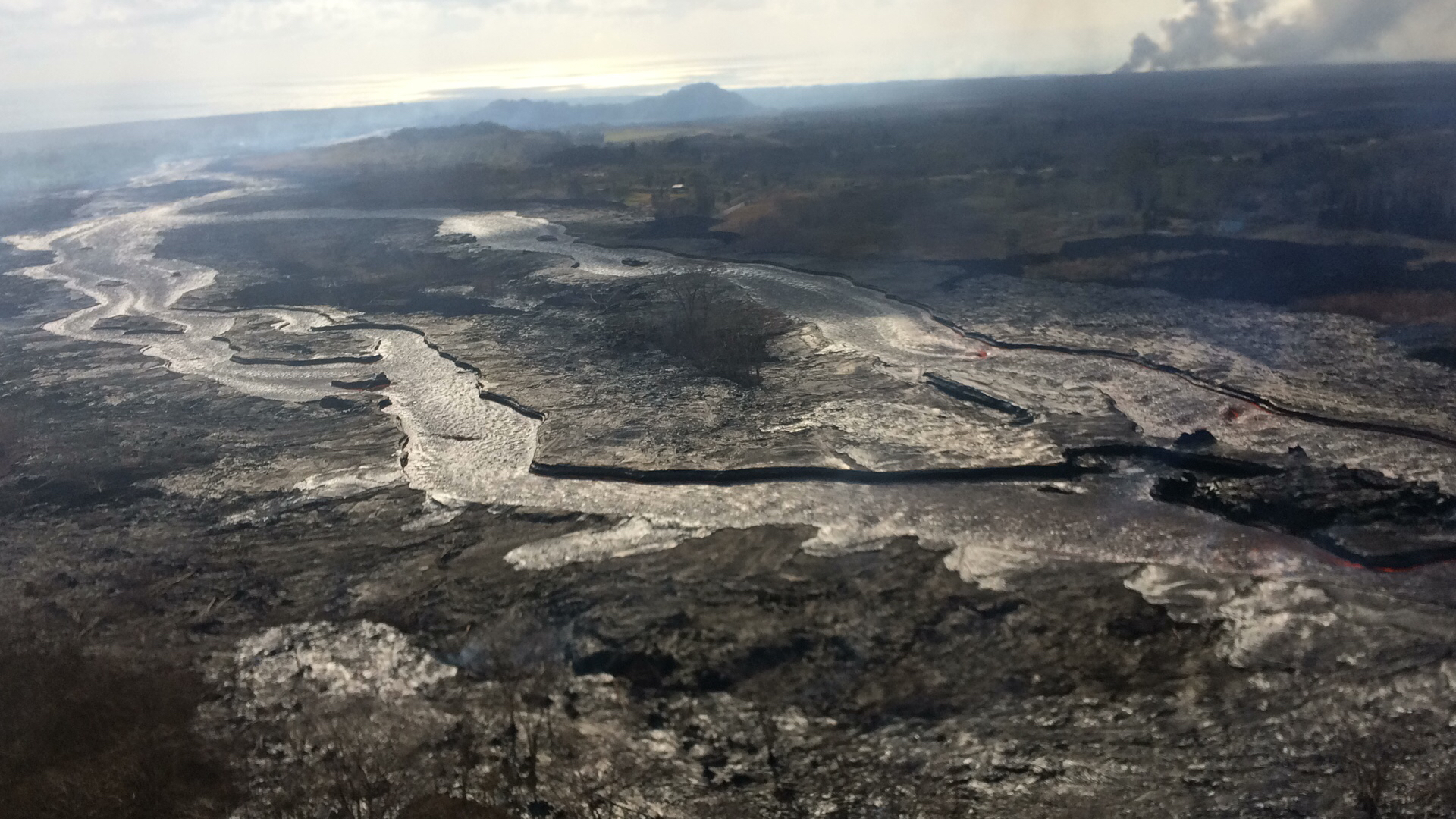
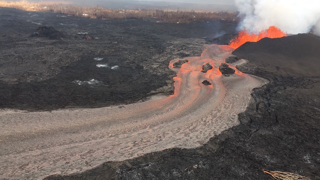
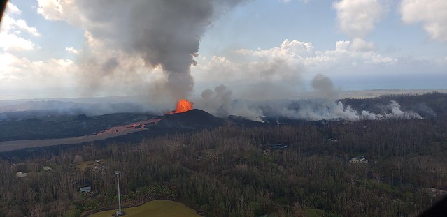
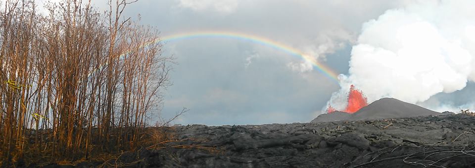
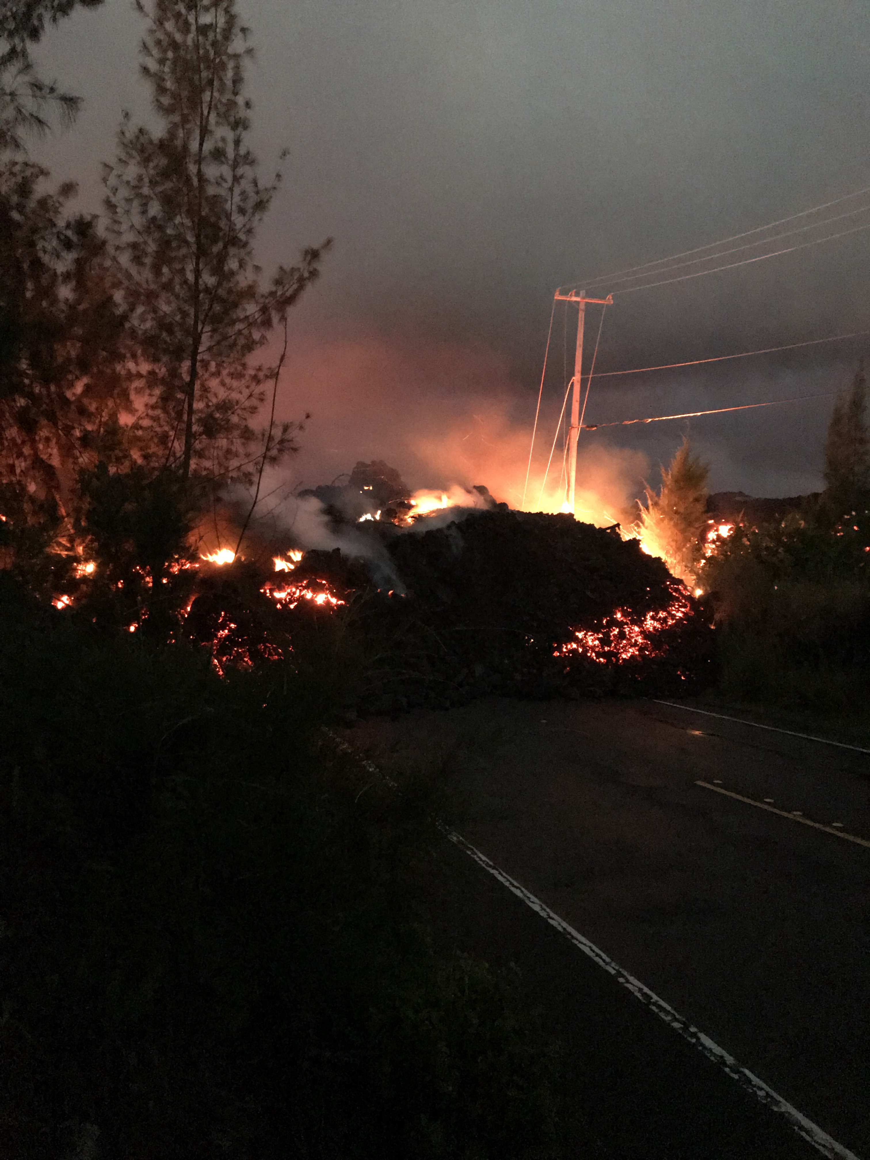
The Lower East Zone’s unnamed giant booms in its cone, fountains rising to 165 feet, lava cascading out of it at 15mph.

USGS: Pu’u continues to make bid for naming. (Full-sized)Fissures 16/18 keep oozing or spattering. “Incandescence (visible in PGcam to the left of fissure 8 most nights) and mild spattering were observed from Fissure 6.”
bLet’s see. Are you there tonight, Spot?
Yep.
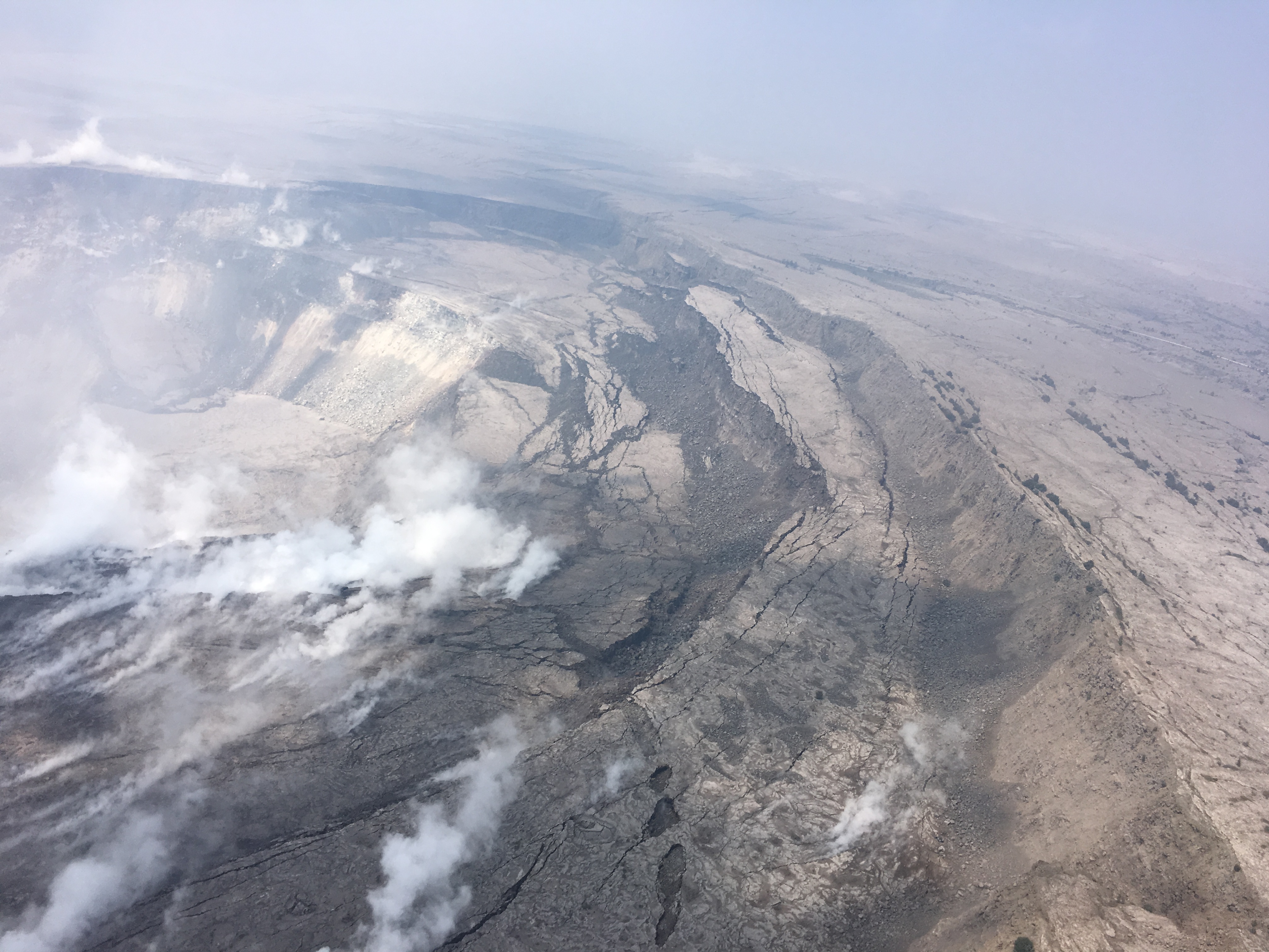
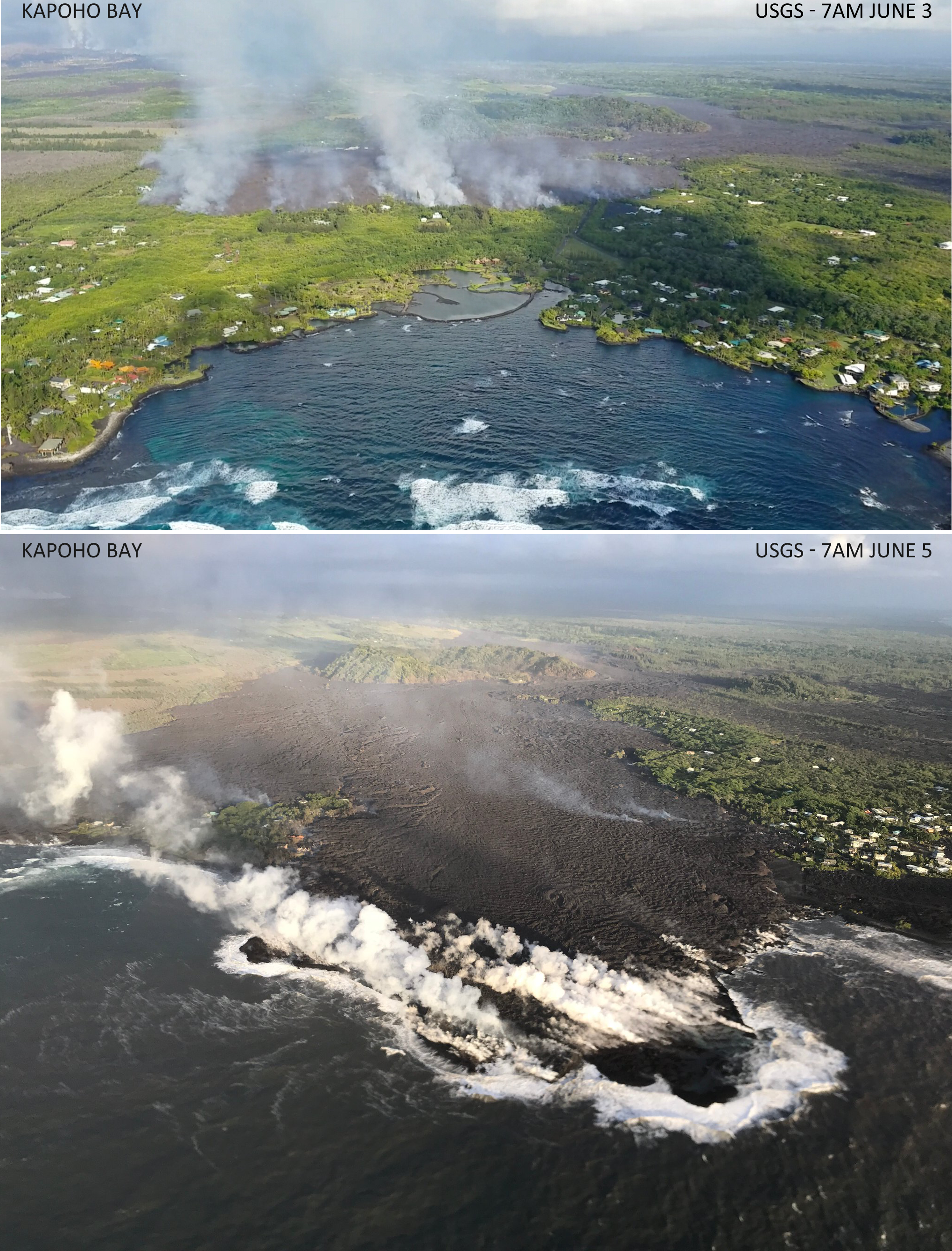
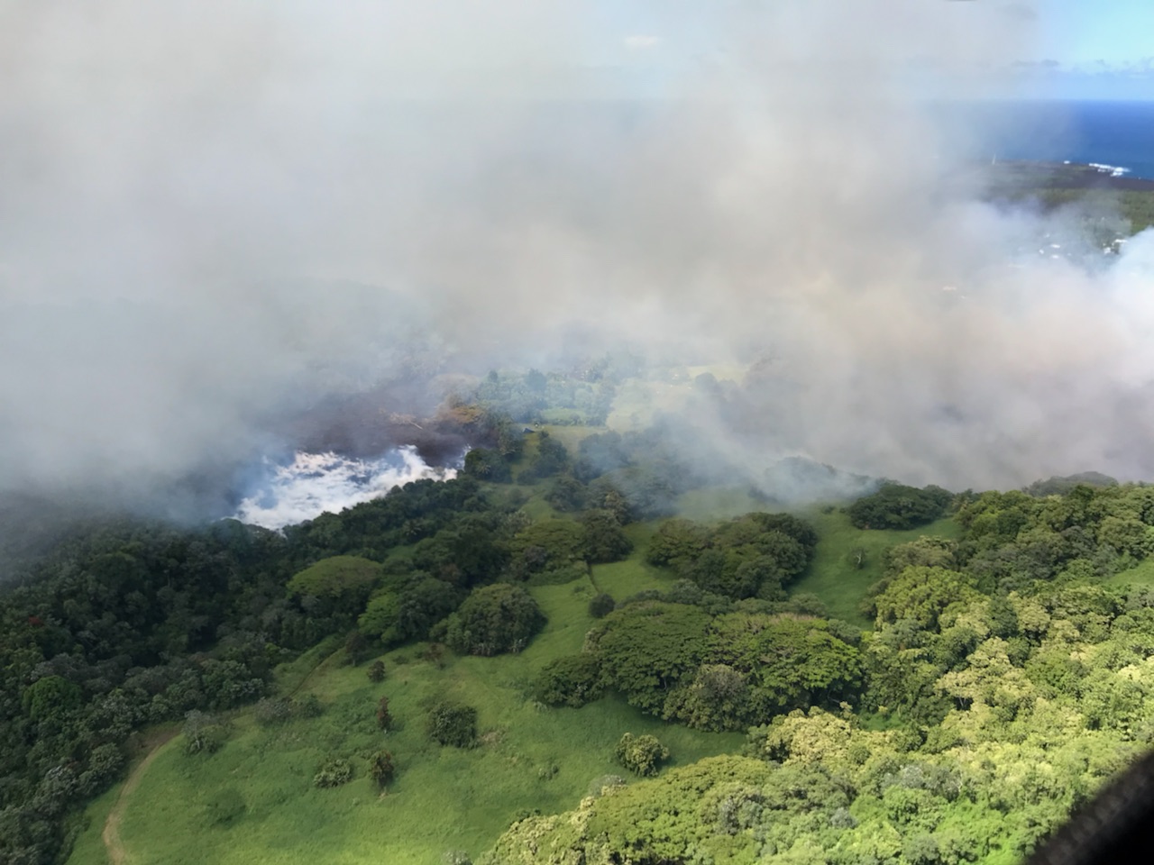
“The flow field is relatively stable with little change to its size and shape for the past few days…”
“Observations are also collected on a daily basis from cracks in the area of Highway 130; no changes in temperature, crack width, or gas emissions have been noted for several days…”
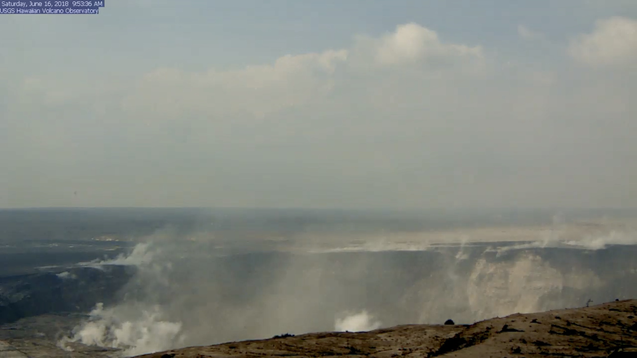
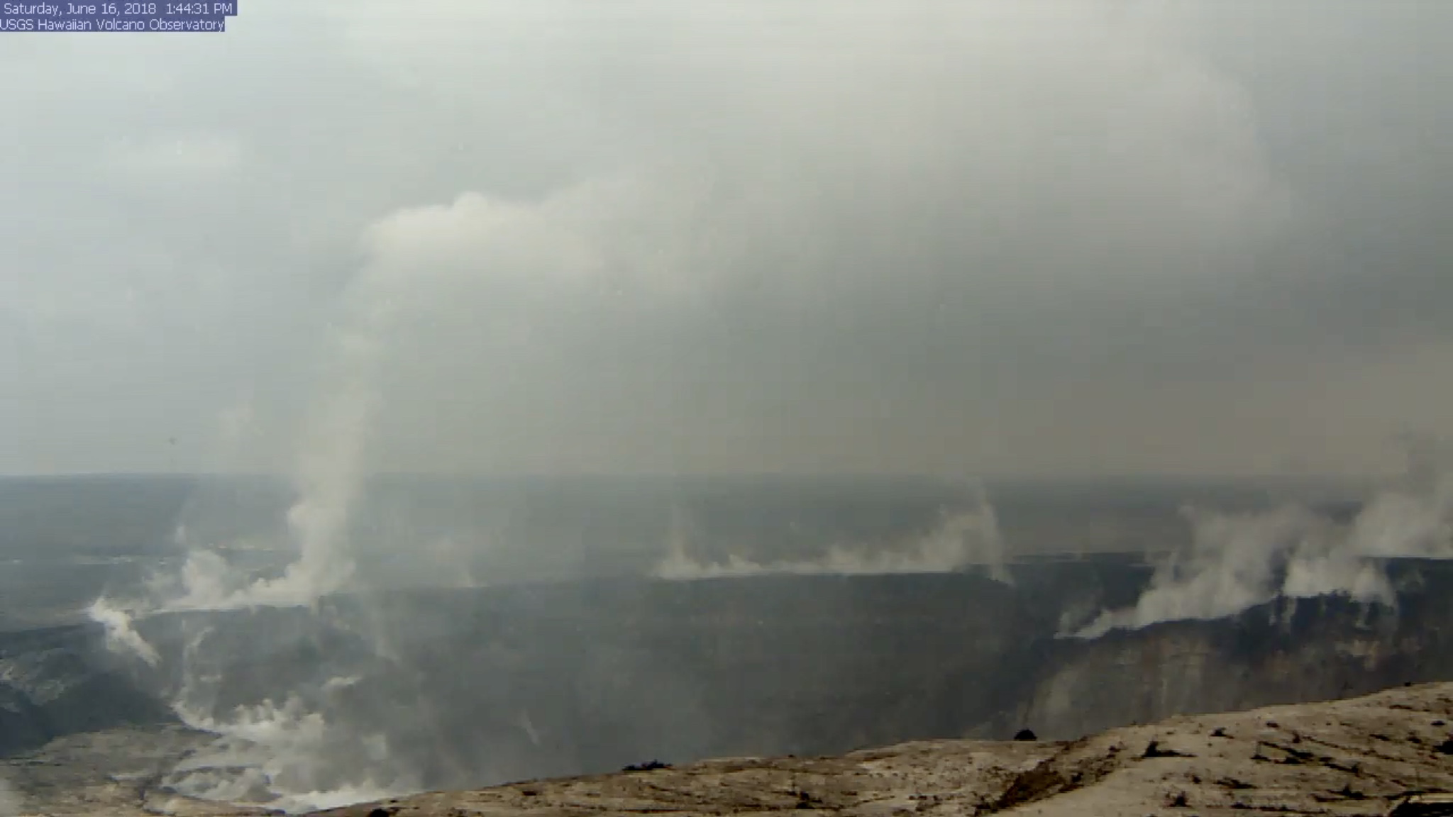
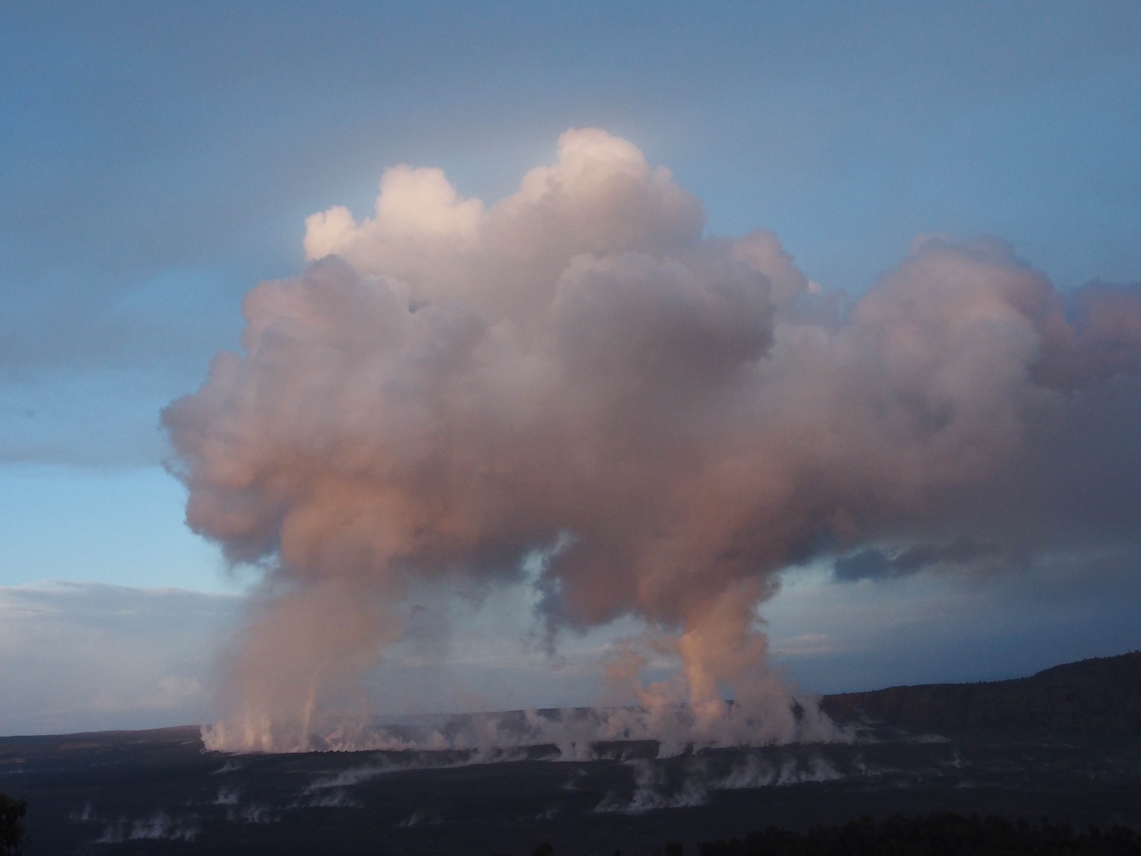
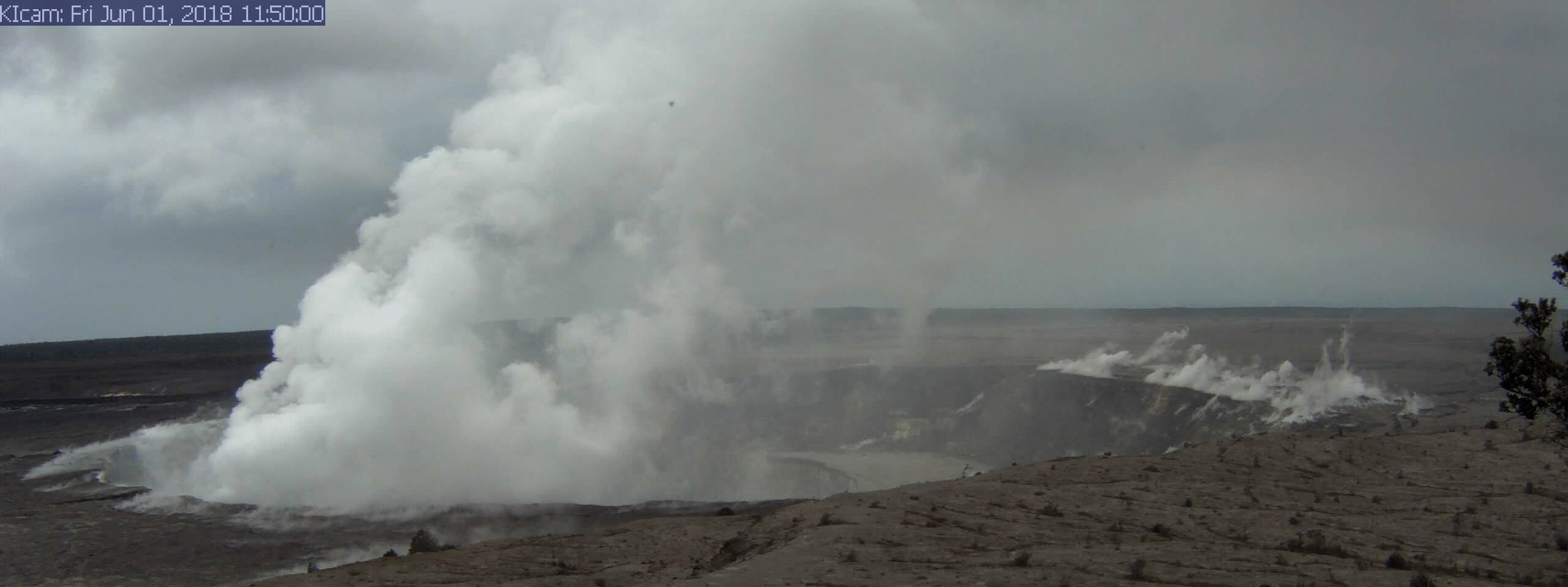
At the summit, the daily subsurface explosion occured at 6:26am HST. “The resulting gas plume, reported to be brief and nearly devoid of ash, was observed to 5,000 to 7,000 ft above sea level.”

This is the eighth day in a a row the daily event has released the energy of a 5.3 earthquake. For the month of June, they’ve all fallen in a range of 5.0 to 5.4.
“After this morning’s explosive event, seismicity at Kīlauea’s summit is slowly increasing. Inward slumping of the rim and walls of Halemaʻumaʻu continues in response to ongoing subsidence at the summit.”
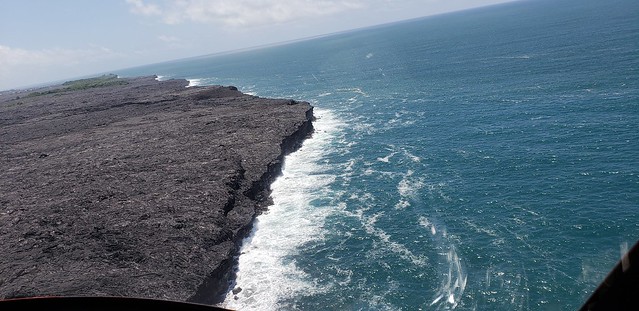
Below the cut: a little local news, one of Mick Kalber’s best overflights of the Fissure 8/Kapoho area, and the work of a must-see photographer.


