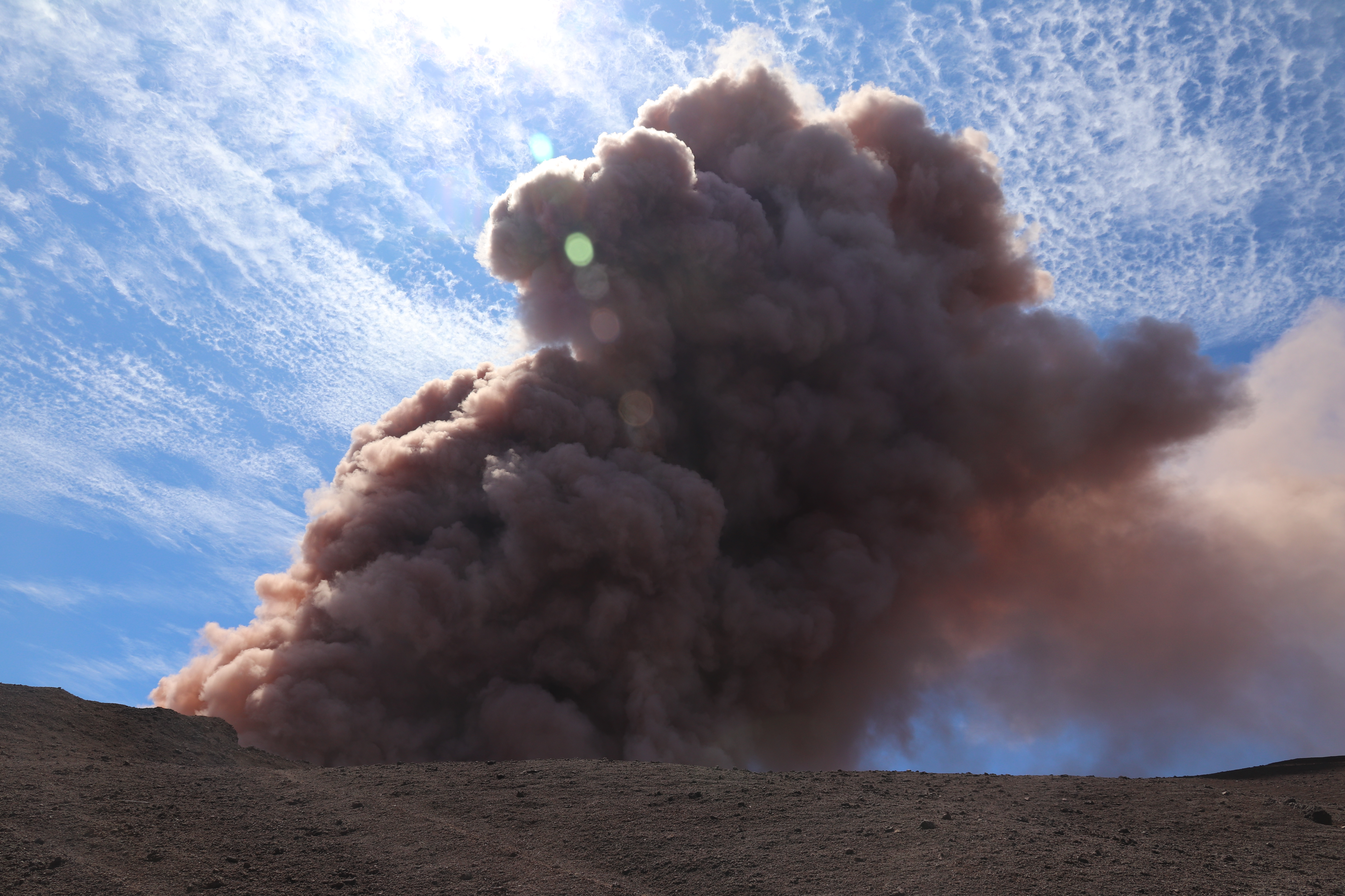
After 2 days of earthquakes and cracks indicating magma was moving down the Lower East Rift Zone, the first fissure opened in Leilani Estates at about 5PM HST, Thursday, May 3, 2018.
Big Island News posted a 10PM video update with video footage accompanying a May 3 civil defense advisory:
Leilani Estates is about 11 miles downrift from Pu’u O’o, in the Puna District.
Meanwhile, increased seismicity at the summit coincided with the summit lava lake changing from inflation to deflation— this is when it began to drop (source: HVO Volcano Watch).
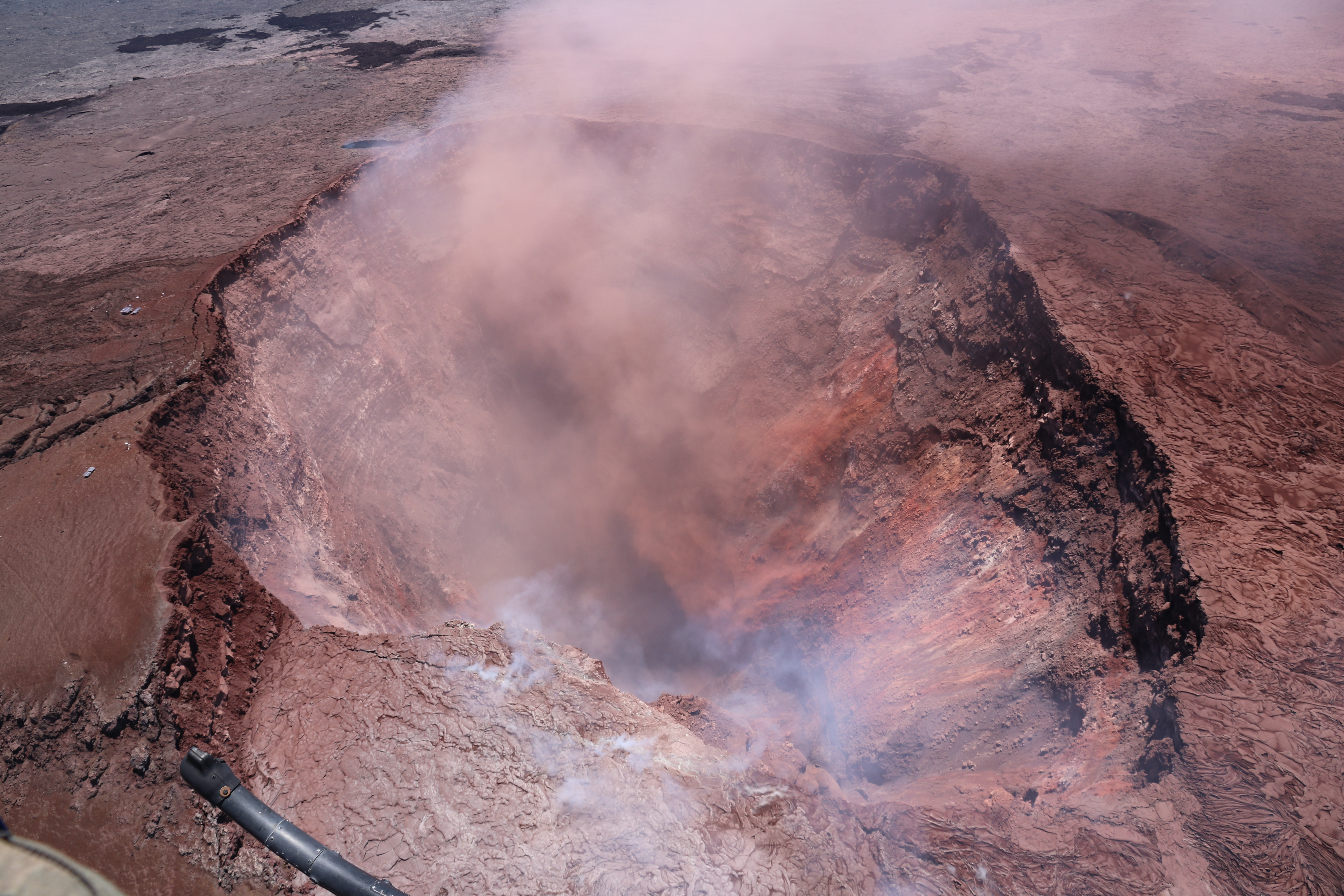
Pu’u O’o: What it looked like just before it collapsed. See also this USGS timelapse movie of Pu’u O’o’s crater lava lake from March 20-April 18, and a blog post with a few good flyover photos on April 29.
(Pu’u O’o is a large vent on Kilauea’s shoulder that’s been erupting since 1983. See USGS / HVO photo history of the Pu’u O’o eruption.)
Excellent overview of lava lake, back wall and crater floor of Halema’uma’u. Shot from crater rim at Halema’uma’u overlook.
USGS: “This video shows an overview of the lake from the Halema‘uma‘u Crater rim, as well as some of the spattering that was occurring on the lake margin on Sunday, April 22.”
Apirl 25: USGS Handheld Video of Lava Lake
You can see how much it overflowed in just 3 days. Taken from crater rim, Halema’uma’u overlook.
USGS: “On Kīlauea Volcano’s summit, the Halema‘uma‘u lava lake’s high standing lake level produced intermittent overflows onto the crater floor. Smaller overflows and spattering have started to build a few discontinuous levees and a spatter cone around the lake margin, shown in these video clips taken from the lakes north and northeastern margin.“
April 26: USGS Helicopter Overflight
USGS: “Vigorous overflows from Kīlauea’s summit lava lake covered a large portion of the floor of Halema‘uma‘u this morning. In this video, the view starts from the north and heads south, showing the north and east sides of Halema‘uma‘u crater. During the overflight, a large overflow was active on the north margin of the lava lake, sending a cascade of lava down the elevated lake rim.”
April 25-27 Timelapse From HVO Webcam
USGS: “This time-lapse video from 7:30 p.m. April 25 to 7:30 p.m. April 26 shows Halema‘uma‘u lava lake producing intermittent overflows onto the crater floor. The largest of these flows was from approximately 6:15 a.m. to 10:30 a.m. on April 26 and covered about 90 acres (2/3) of the crater floor.”