Today’s Eruption Summary
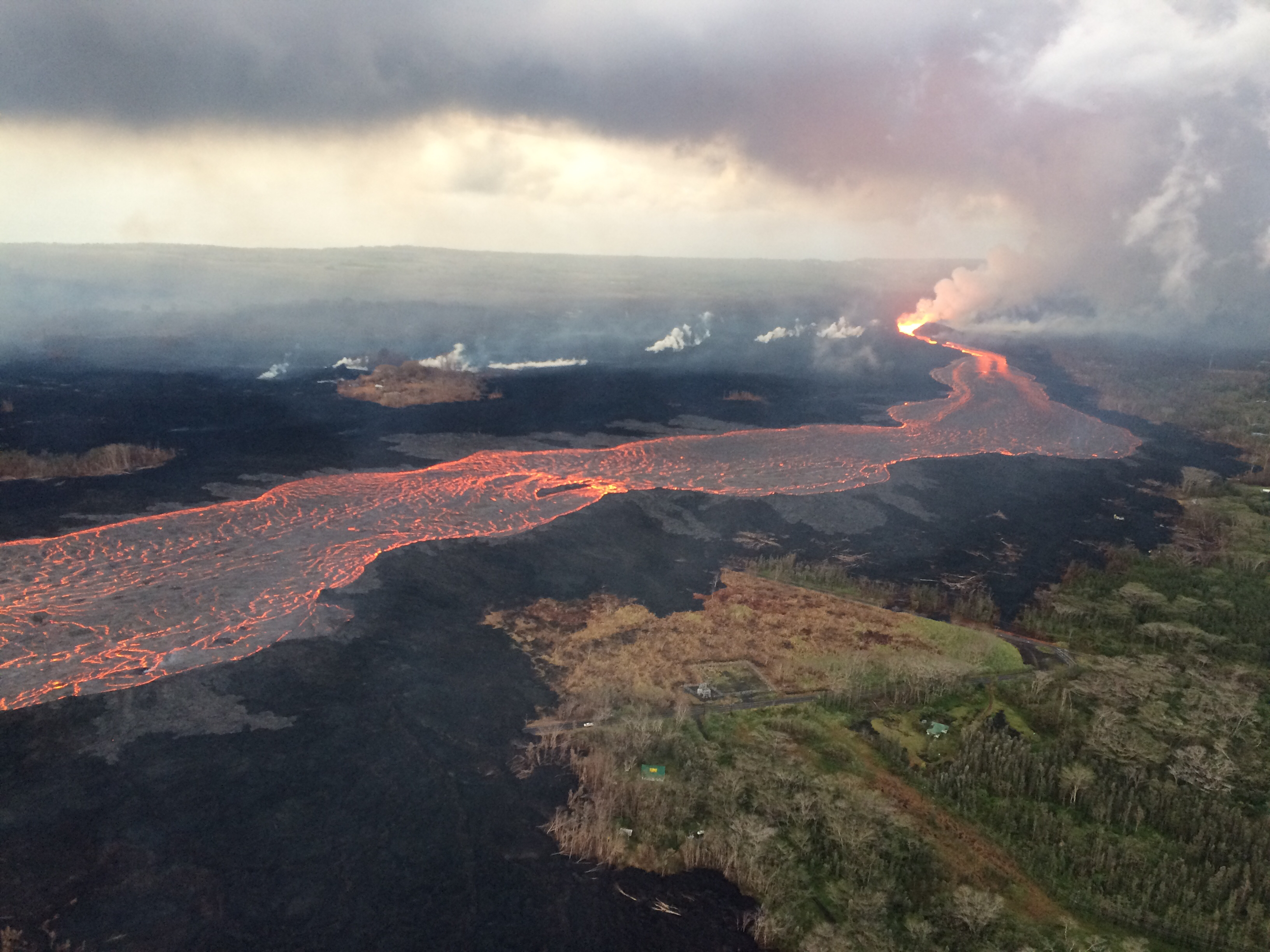
Fissure 8 and the summit explosions continue their status quo. However, for the last few days, the lava flow at Kapoho has been encroaching on new areas on its northern and southern boundaries at the coast.
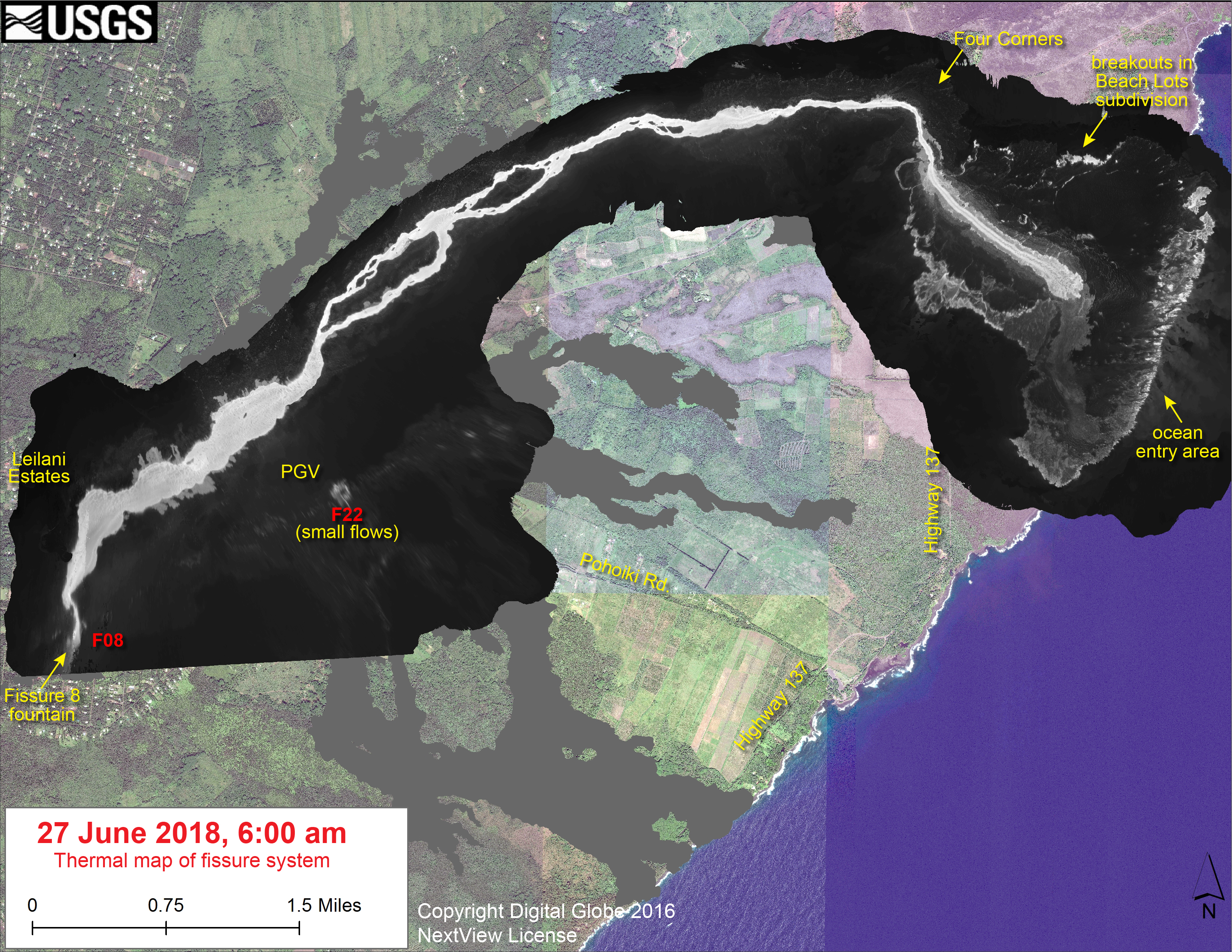
At least 3 more Kapoho Beach Lot houses have burned on the north side, and the southern edge of the flow is burning vegetation and/or farmland west of Highway 137. I gather these new lateral outbreaks are due to the lava channel crusting over, about half a mile inland from the new coastline (see Wednesday’s thermal map). So instead of pouring straight from the channel into the ocean, lava is fanning out under the crust of the 2-mile-wide lava delta laid down earlier this month, then oozing out the sides.
[USGS drone footage of Fissure 8 from before dawn. They’re using drones for the first time to map flows, look for outbreaks and measure the lava river’s speed.]
At Kilauea’s summit, today’s collapse explosion occurred at 7:51am HST, June 29, with an ash-poor steam plume that rose 500 feet. (Steam?)The energy release dropped slightly to 5.2. I didn’t do a video capture, since the summit was blanketed in morning fog.
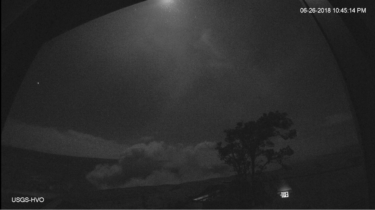
The “new news” today is that HVO has added two new views to its Kilauea Webcams page. One I’ve mentioned before, the old “Kilauea East” webcam from HVO’s 1990s website which has annoying reflections but a great view of the subsidence/collapse on the east side of Halema’uma’u Crater:

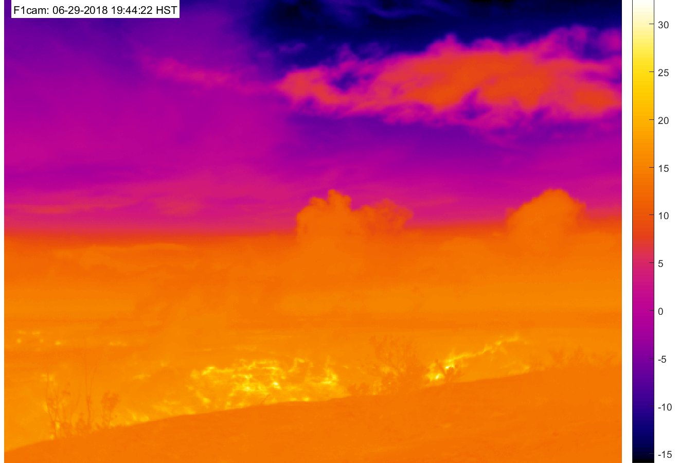
The other is a new heat-sensitive webcam which should make it possible to see “collapse explosions” at night:
Also, in this week’s “Volcano Watch” newsletter, Hawaiian Volcano Observatory scientists explain the “piston” model they’ve developed to account for the daily collapse explosions at the summit:
What causes the collapse/explosion events at #Kilauea's summit? This week's #HVO #VolcanoWatch article explains…https://t.co/c9476EuTbE#halemaumau #KilaueaErupts #KilaueaEruption pic.twitter.com/ntMnky5Oy6
— USGS Volcanoes🌋 (@USGSVolcanoes) June 29, 2018
(See also the “Kilauea Earthquakes FAQ” they posted earlier this week.)
This is big news. They’ve solved the mystery of the summit explosions! Subject to revision, of course; they’re still untangling the complexities of Kilauea’s current eruption. But the “piston” model accounts for the cyclical pattern they’re seeing better than the “steam explosion” model.
Continue reading June 29: New Ways to Watch Changes at the Summit

