Mick Kalber’s daily helicopter flyover includes some intense views of the rivers of lava heading into the ocean, and the big complex of fountains— 20? 22? we’re starting to lose track— that have dominated the Lava Livestream With Rooster for the last several days.
The USGS thermal scan is very informative, too: an infrared satellite detects heat sources (the whiter the image, the hotter it is), and USGS then overlays it on a daylight satellite image of same area. Result, accurate map of where the main flows are, even when they crust over so the lava inside is hidden:
Thursday May 18: Fissure eruptions went into overdrive [Good article from Star-Advertiser] as “fresher, hotter magma” (Janet Babb, USGS geologist) arrived from summit. Fissure 20 released a lava flow down toward coast, crossed Pohoiki Road, and isolated about 40 houses. Four cut-off residents were airlifted out.
Check out daylight screencap from late in the broadcast to get sense of scale: note house.
The USGS also posted a brief video clip of Fissure 17 in its Kilauea-Iki-like glory:
May 19, Friday afternoon, a new livestream started from same channel as before (civilbeat.org). They streamed through most of the night, occasionally shifting view from large fountain behind house (Fissure 17) to lava flow and a group of lava fountains building spatter ramparts (Fissure 20 merged with others) upslope to the right.
Friday, HawaiiNewsNow’s Milika Lincoln filmed same area in late morning from nearby location, near Lanipuni Gardens: fissure 17 fountain was now 500 feet tall. There seems to be a crater (pu’u) forming to the right of 17’s fountain. She also interviewed a resident who saw Fissure 17 form— as they talk, it roars. After dark, her crew’s footage is absolutely spectacular. (She’s calling it 19— either I’m mistaken about which one she’s watching, or she is.)
You can really tell this is hotter, fresher, more voluminous lava that drained from Pu’u O’o, as opposed to the old, stiffer, cooler lava that erupted from fissures in Leilani Estates the first two weeks of this eruption.
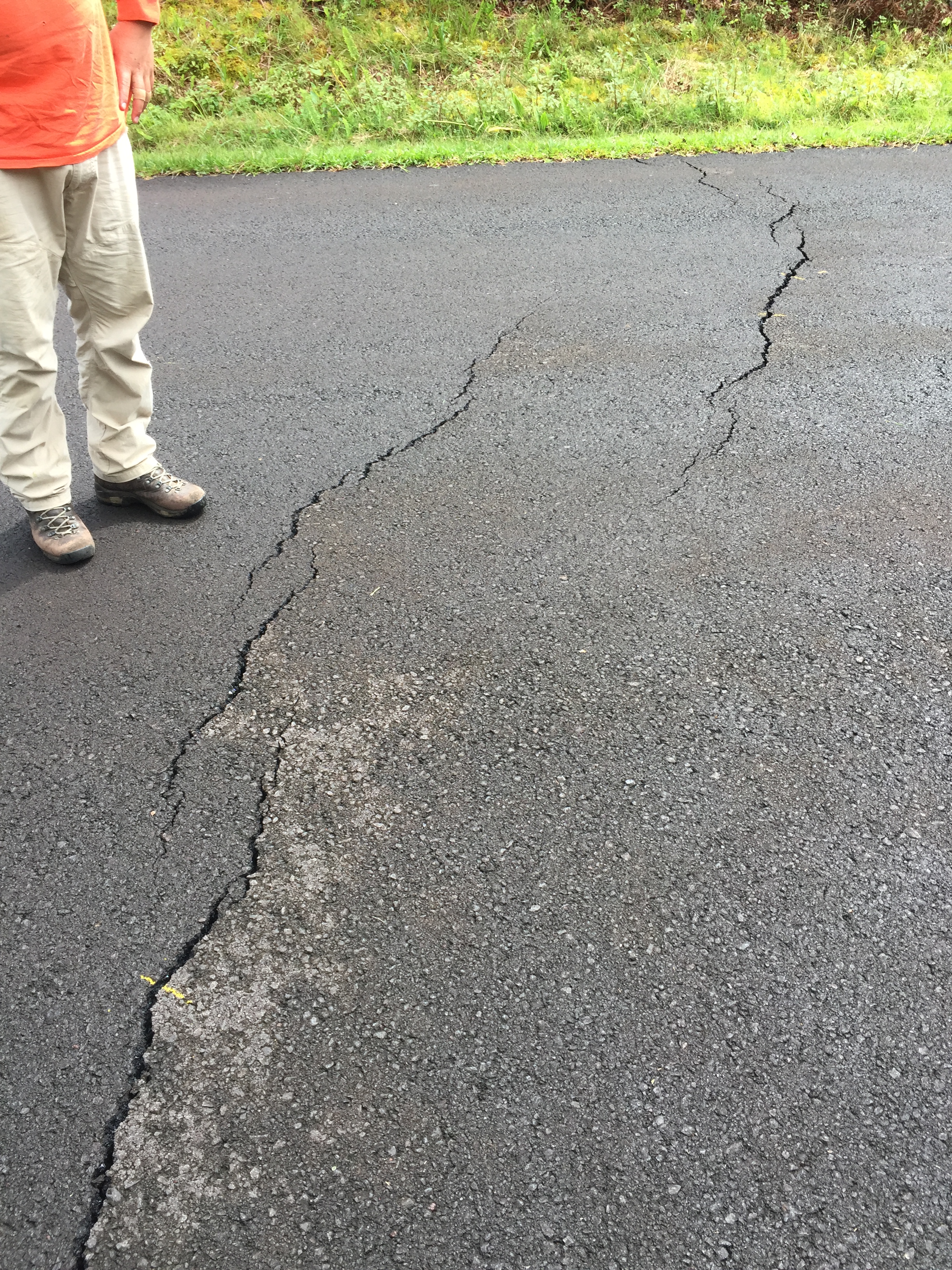
“Ground deformation is continuing with increased seismicity” in Lower East Rift Zone, and USGS warn lava inundation below them is possible, and that more fissures could still open uprift or downrift. “All fissures are actively spattering or actively degassing.” 40 structures lost.