Today’s Eruption Summary
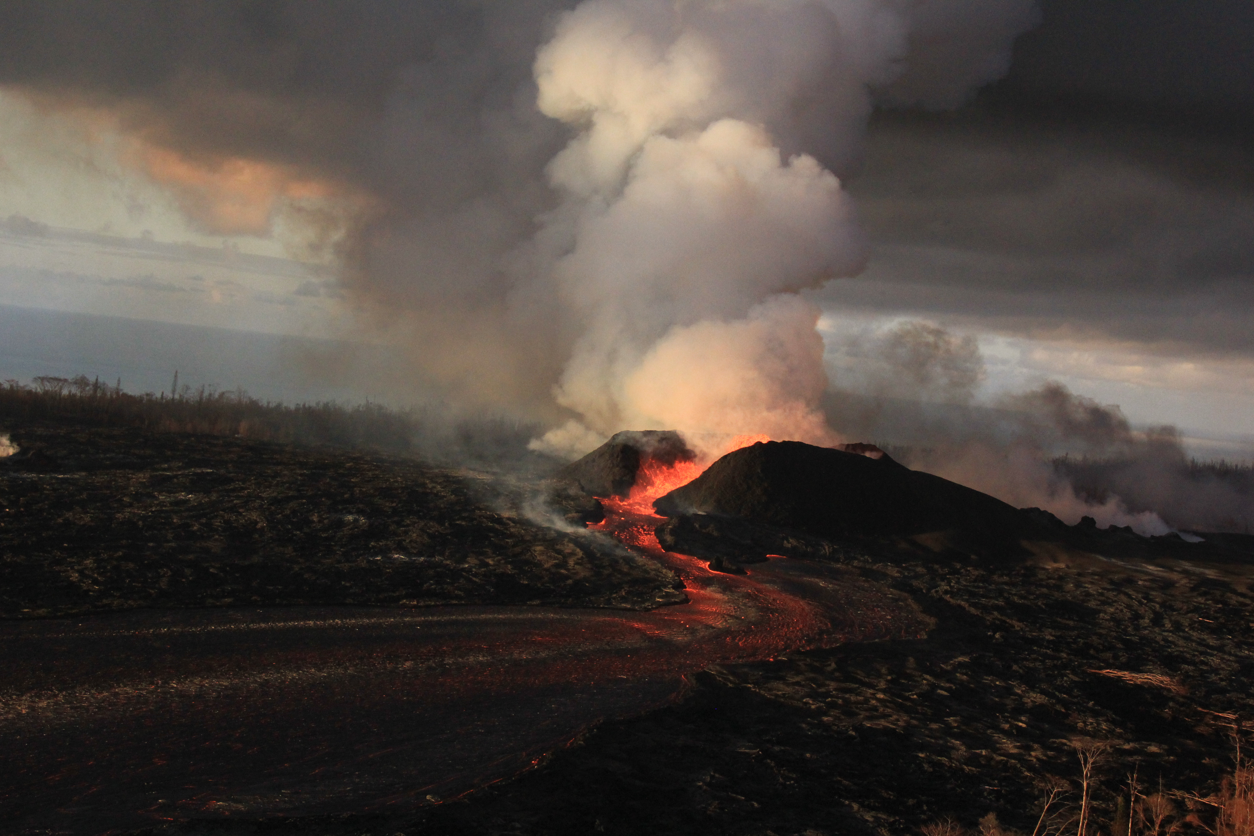
No major changes in the past 24 hours, except that the lava channel was full and spilling over its levees in a number of places this morning (as seen in this photo by Bruce Omori). For the most part, they weren’t venturing past the boundaries of earlier flows:
Monday, July 2, 2018, 5:45 am – Kilauea's east rift zone overflight: A number of breaches of the channels can be seen here, as the fresher lava appears more silvery than the older.
Posted by Extreme Exposure Fine Art Gallery on Monday, July 2, 2018
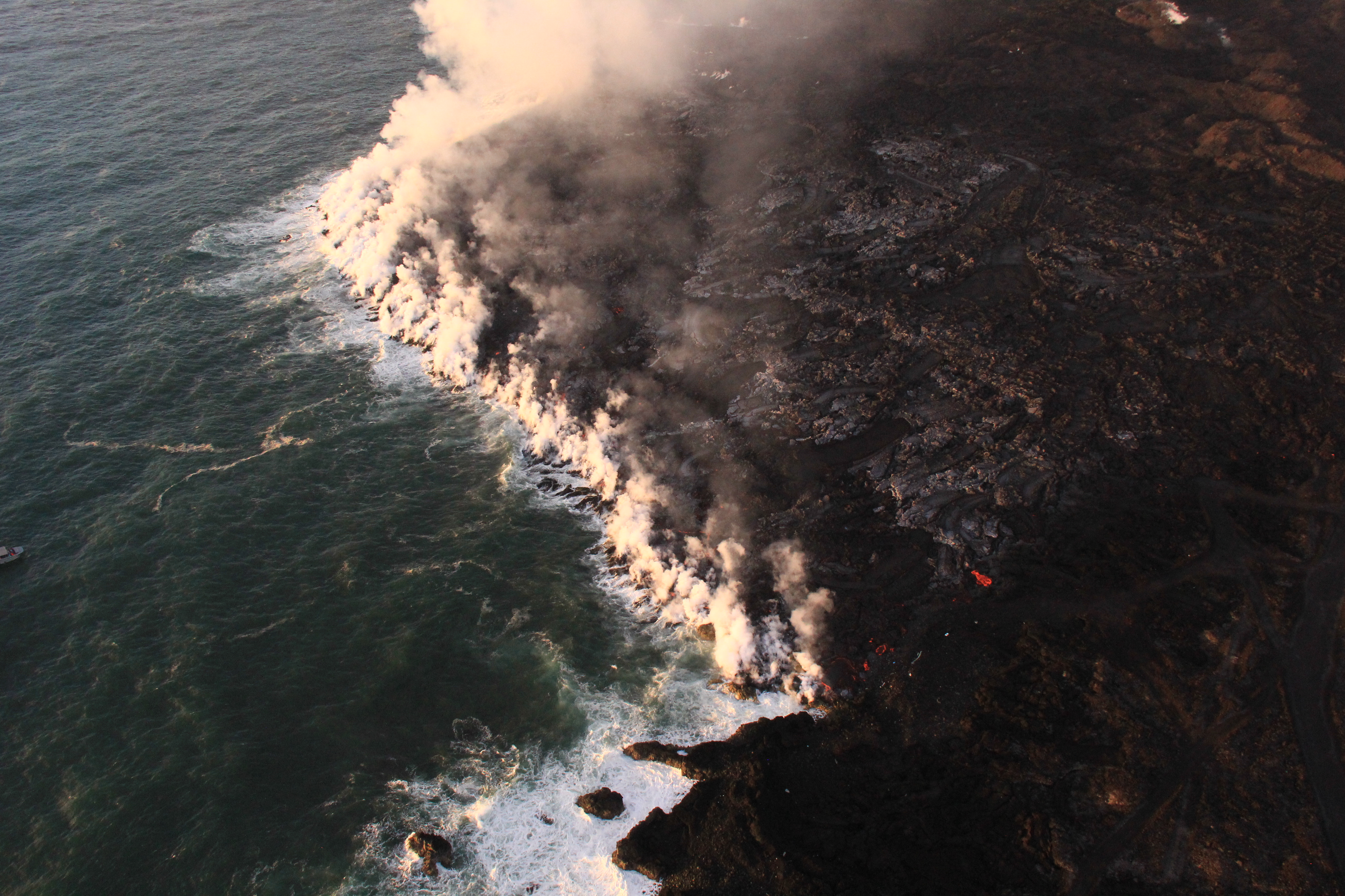
Fissure 8 continues roaring along. With slack tradewinds today, it managed to whip up enough pyrocumulus to set off some localized thunderstorms. Fissure 22 is still spattering and feeding a small flow that’s going nowhere fast. At the ocean end of Fissure 8’s channel, lava is oozing out along a broad part of the lava delta and chewing further into what’s left of Kapoho Beach Lots:
Monday, July 2, 2018, 5:45 am – Kilauea's east rift zone overflight: Homes and property in Kapoho are being consumed by the flow's expanding northern boundary.
Posted by Extreme Exposure Fine Art Gallery on Monday, July 2, 2018
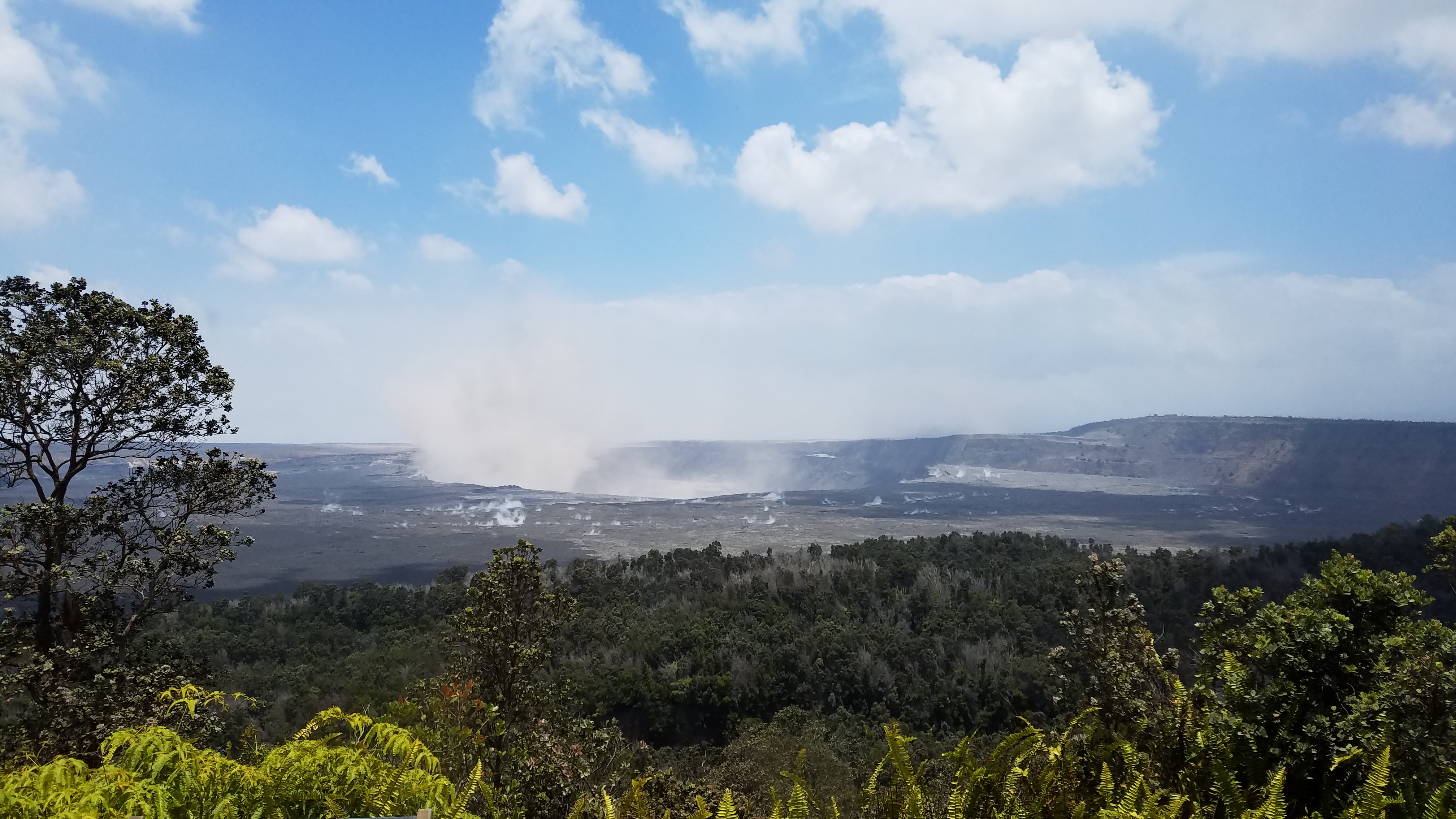
The latest summit explosion occurred at 1:24am HST July 2, the usual M5.3, with an ash plume ~1200 feet high. Immediately before, there were about 20-25 earthquakes an hour (a little less than in recent days) and dropped to 5/hour immediately afterwards (again, a little less).
[Below is a USGS video of the June 30 collapse/explosion as seen from Volcano House, I think, which gives a good view of the rockfalls all along the bluffs of the caldera walls]:
I haven’t mentioned LERZ seismicity in some time, because it’s been low for weeks. But I notice that section of HVO’s daily Kilauea update was amended starting yesterday. Since May, it’s reported “relatively low seismicity” and “low amplitude background tremor” with “numerous small earthquakes” in the LERZ plus occasional “higher amplitude tremor” near the ocean entry. Now it’s added, “Low amplitude tremor increased slightly on June 29 associated with renewed activity at Fissure 22.”
More Photos from USGS
Continue reading July 2: Fissure 8 Making Its Own Thunderstorms


