Today’s Eruption Summary
Status quo. Fissure 8’s lava river continues inexorably to the Ahalanui Beach area. At the coast, the flow has nearly stalled in its southern expansion, but according to Civil Defense has crept within ¼ mile of Pohoiki boat ramp.

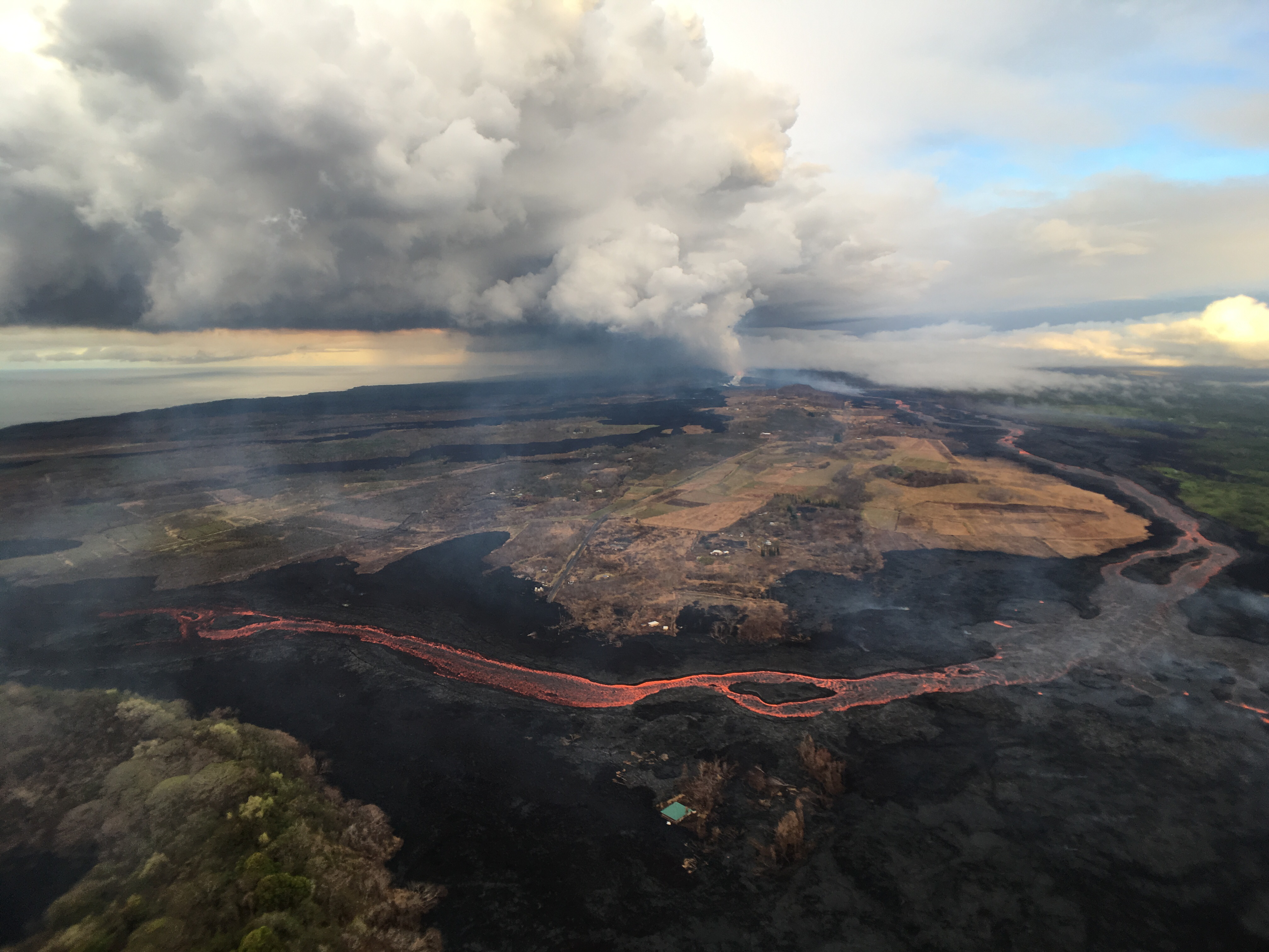
July 21, 2018. USGS: “This aerial view, looking to the southwest, shows the most vigorous ocean entry of the fissure 8 flow, which is located a few hundred meters (yards) northeast of the southern flow margin.” (Full-sized)North of the main ocean entry, a few small pahoehoe lobes are still dribbling into the sea along the rest of the delta.
Today’s summit collapse event occurred at 9:43 am, registering as M5.4 for a change. It was preceded by widespread rockfalls about 3 minutes earlier, which I included in the video capture (jittery livestream signal notwithstanding):
Here’s the Northeast Caldera Rim livestream capture (collapse only, not foreshocks). USGS tweeted that “the output has increased somewhat at fissure 8” after today’s collapse.
Here’s how it sounded in Volcano (plus wind chimes):
Our Daily 5.3 😂Notice the chimes in the background.
Posted by Ken Boyer on Saturday, July 21, 2018
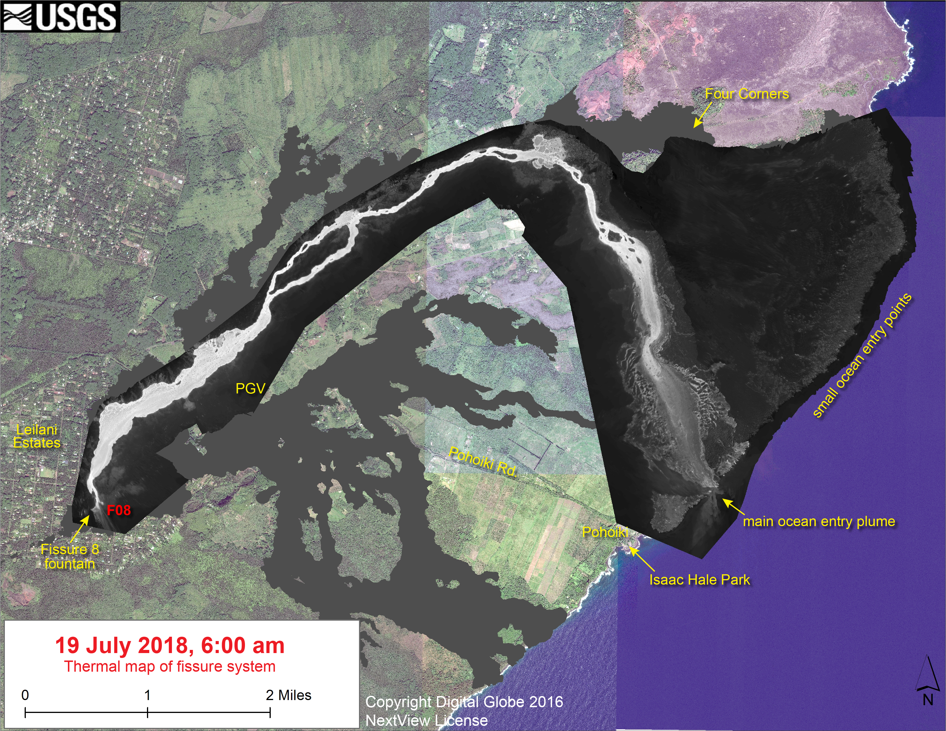
No new LERZ maps today, since the lava’s basically holding position. Here’s the most recent thermal map from July 19 again, since my post had a broken link yesterday.
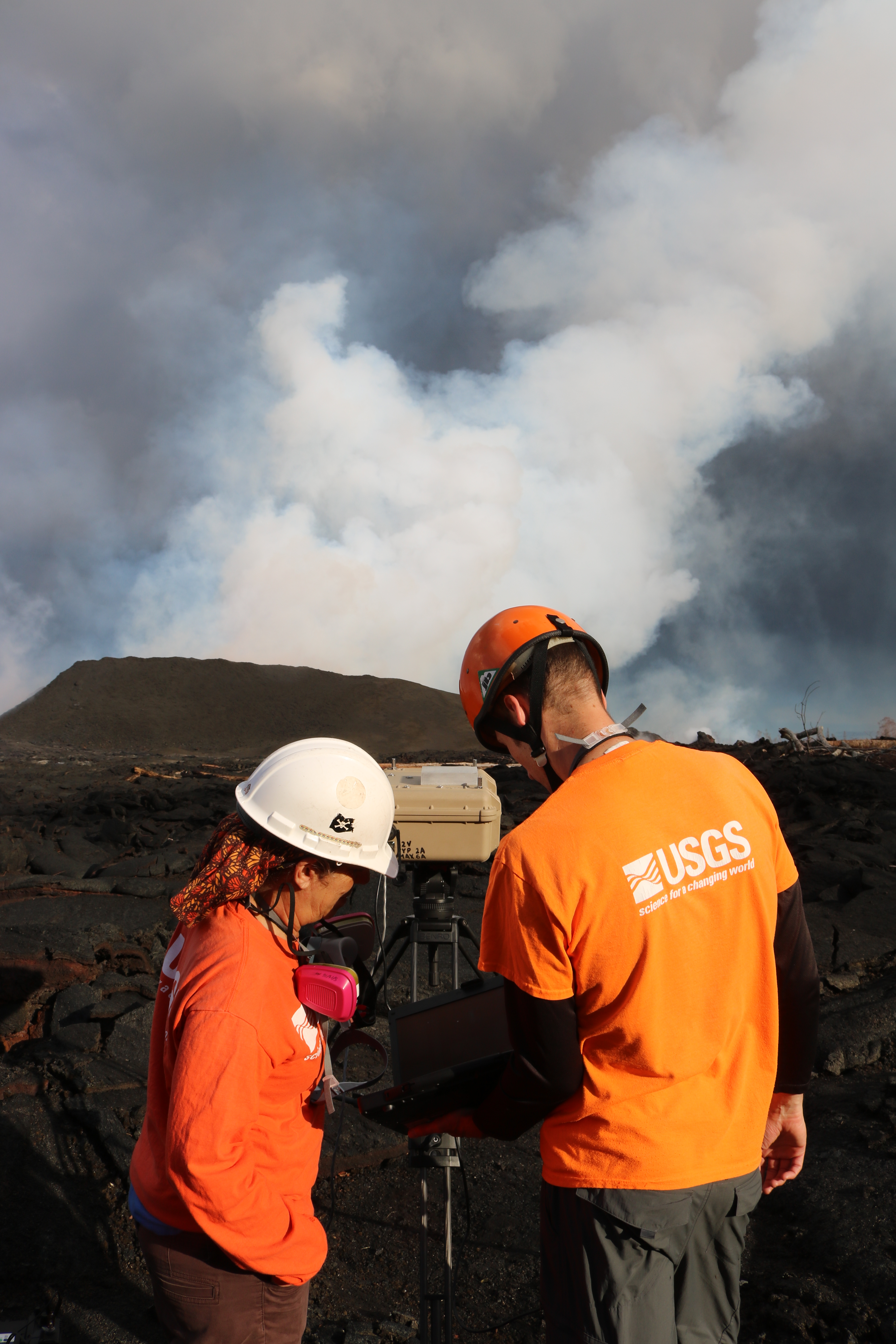
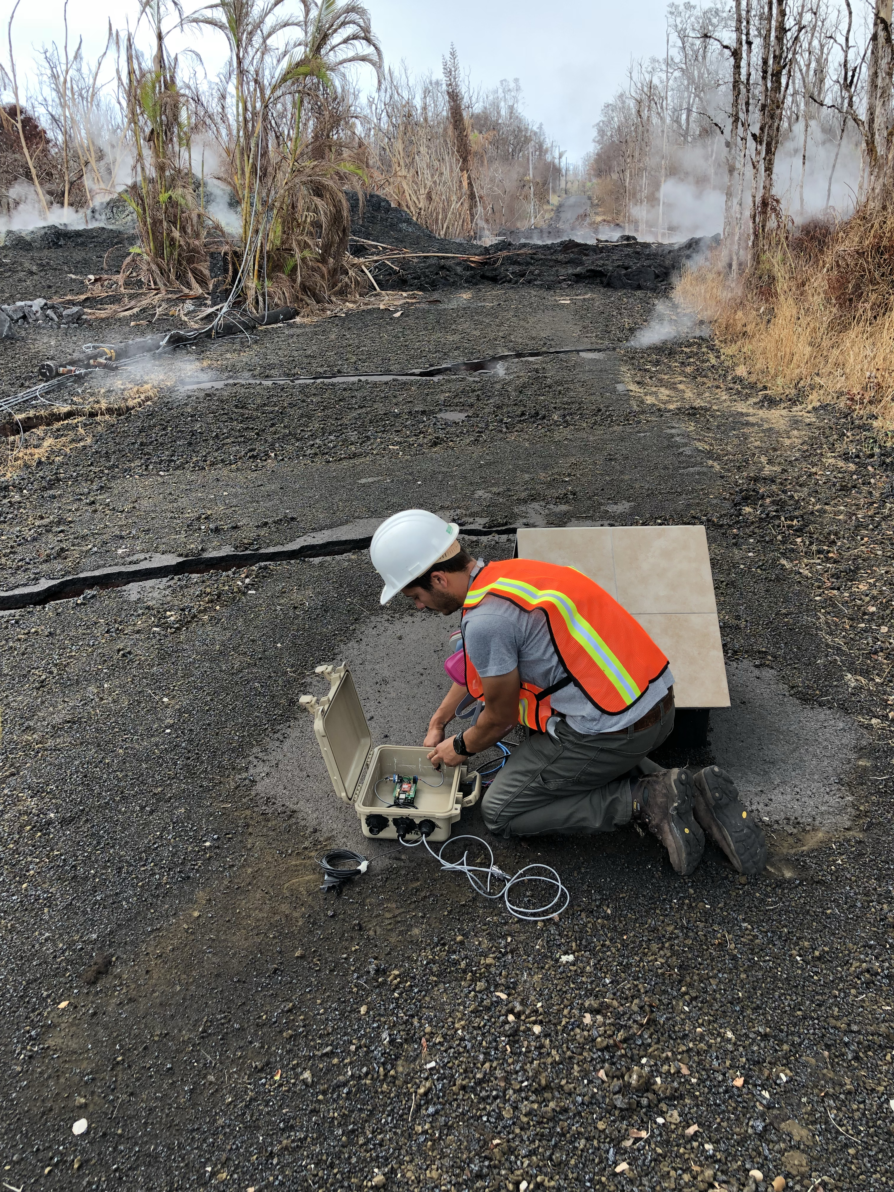
Today’s main news is that this weeek’s HVO Volcano Watch column covers littoral/hydrovolcanic explosions, and the USGS photo chronology today offered some rare glimpses of geologists on the job:
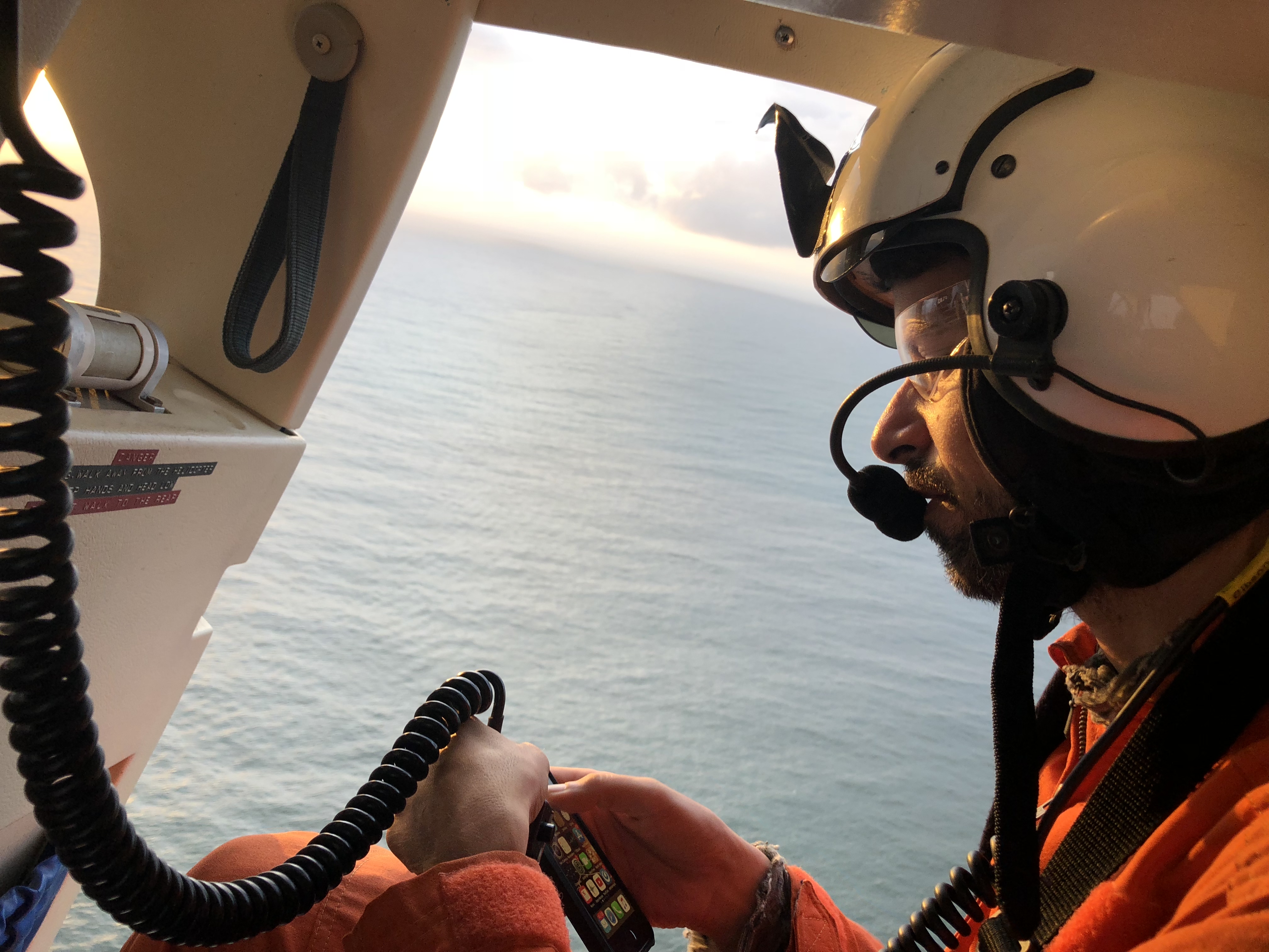
Here’s what they saw during that overflight:
All of which just goes to show you that it was kind of Pele to wait until all this technology was available, instead of doing it in the 80s.
From Other Agencies
Not directly volcano-related, but a bit of good news to balance the bad:
Coming out of nēnē nesting season, we have observed 10 new fledglings! Previously brought to the brink of extinction, the population has come back from a mere 30 birds in 1960 to nearly 3,000 today. Does your story of resiliency resemble that of the nēnē's?
NPS Photo pic.twitter.com/HNzvEtmJCS
— Hawaii Volcanoes NPS (@Volcanoes_NPS) July 21, 2018
From Local News Outlets
It’s the weekend again, so not much.
- HNN: “In light of eruption, DLNR terminates deal to buy land on Big Island” (here’s the orignal DLNR press release)
- HSA: “Eruption sparks downturn for Big Isle hotels“
- HTH: “HVO report: Eruption could last for years”
- And Dispatches from Volcano pulls out some of the most relevant numbers from recent HVO reports and makes sense of them.
USGS Q&A On Social Media
Cooled lava can inflate if new lava comes in underneath it, even if it's stationary. This is seen very commonly in pahohoe flows, but we've also seen some instances near the lava channel where 'seeps' have inflated old, rubbly bits of flows.
— USGS Volcanoes🌋 (@USGSVolcanoes) July 21, 2018
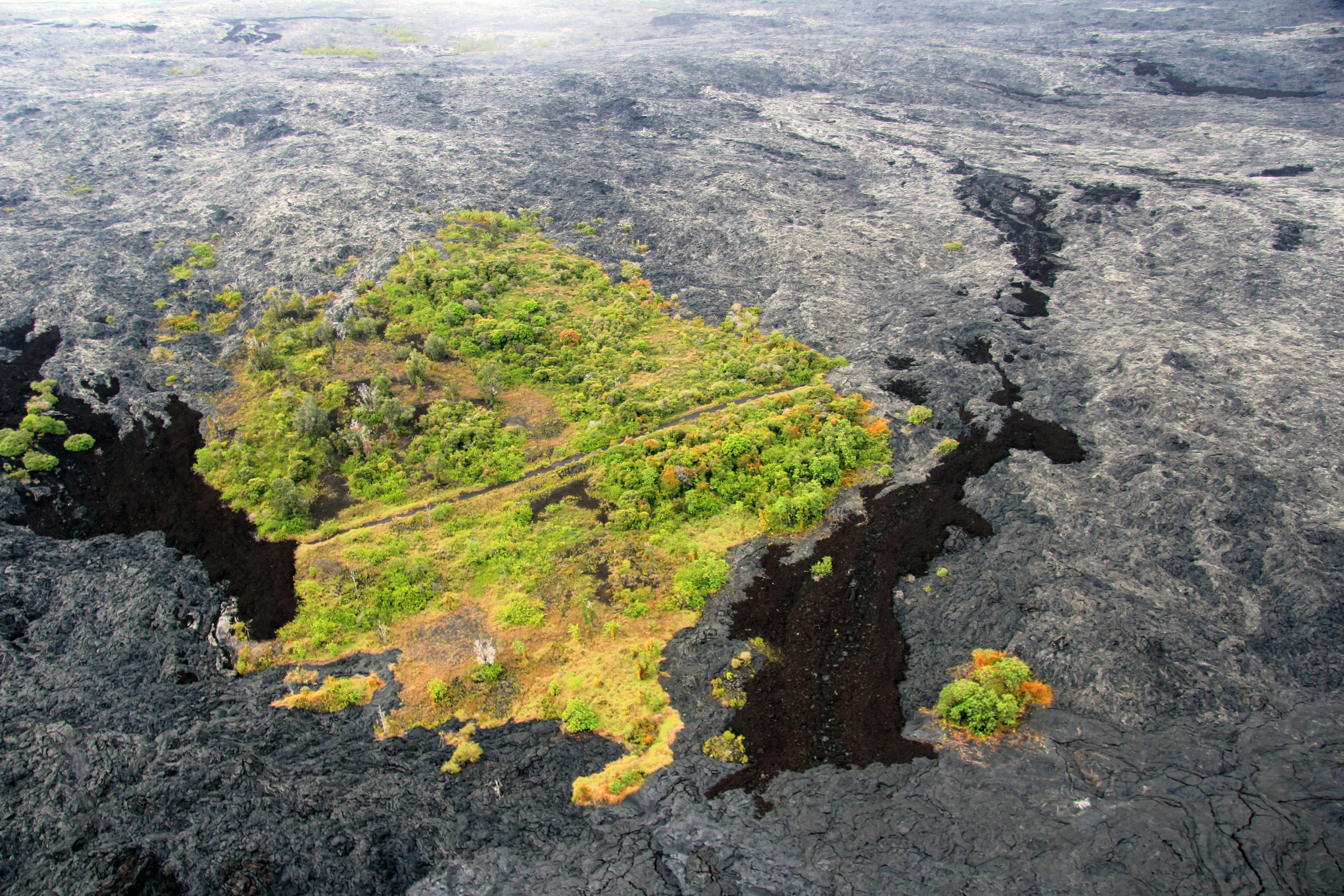
[A kipuka is an “island” of the original landscape surrounded on all sides by fresh lava flow(s). Example from early in Puʻu ʻŌʻō eruption.]
Q: [Is F8 lava heading into the delta or inflating inland flows?]
USGS: It is still heading to the delta, but may be erupting underwater. There are many entry points along the length of the flow front.
From Photographers/Social Media
New webcam just released of Fissure 8, updates every minute! -> https://t.co/p6RvqTVBH2 <- from my friend Harry Durgin. Stoked. #Fissure8 #Kilauea #LeilaniEstatesEruption pic.twitter.com/T6NeubEzrO
— Dane duPont (@GeoGolfHawaii) July 22, 2018
1955 Kilauea eruption,Kapoho. Old film footage. One of the ideas mentioned ,creating lava dykes to direct the course of the flow, were tried and were not successful either in… https://t.co/7gHQYWDu6b
— Liz Gilbert (@anodyne2art) July 22, 2018
#LeilaniEstatesEruption #KilaueaVolcano UPDATE: A gorgeous sunrise off the #Puna coast this morning by Andrew Dunn captures the #Fissure8 flow’s ocean entry at #Ahalanui; @CivilDefenseHI reports flow ~1/4mile from Pohoiki; LATEST👉🏽 https://t.co/ZKLvtCjozY @HawaiiNewsNow #HINews pic.twitter.com/272uw0nZW4
— Mileka Lincoln (@MilekaLincoln) July 21, 2018