Today’s Eruption Summary
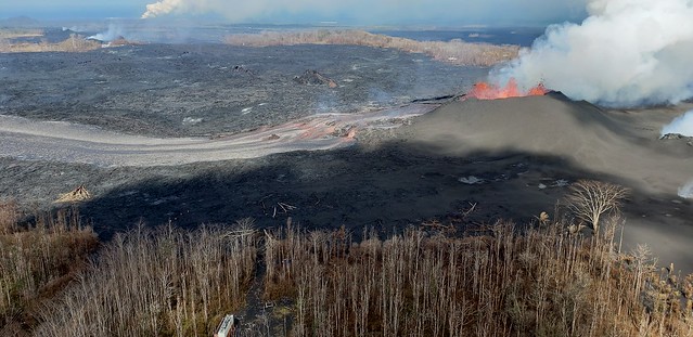
Fissure 8’s eight-mile lava river and the summit’s daily explosion have followed their usual pattern of the past two weeks. However, volcanic gas emissions at the Lower East Rift Zone doubled on Saturday compared to the past week, while SO2 emissions from Halema’uma’u are about half what they were before this current eruption started.
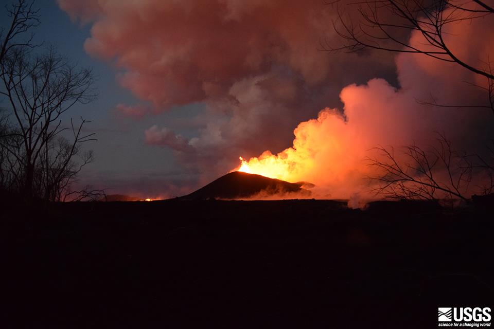
Are those two facts linked? I dunno. I’ll be interested to hear if/when lava samples collected from the Fissure 8 flow start to show signs they came down from the summit instead of Pu’u O’o.
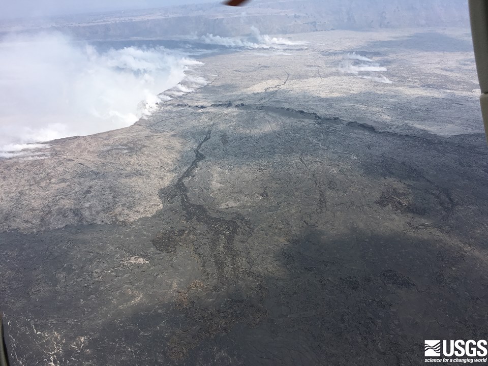
Before-and-After Halema’uma’u 2017 vs 2018
I found a July 2017 screencap from HVO’s panorama webcam, so here’s an animation fading from it to today’s view. Check out the full-sized animation; you can really see how much Halema’uma’u has enlarged.

Below: slow news day, lots of photos.
Be warned, there’s some sad news, especially in the social media section at the end. This is a natural disaster, and it’s hard, even if it provides some amazing visuals and fascinating science as compensation. But they can’t make up for what’s lost.
Continue reading June 10: LERZ Very Gassy, Summit Not So Much