Today’s Eruption Summary
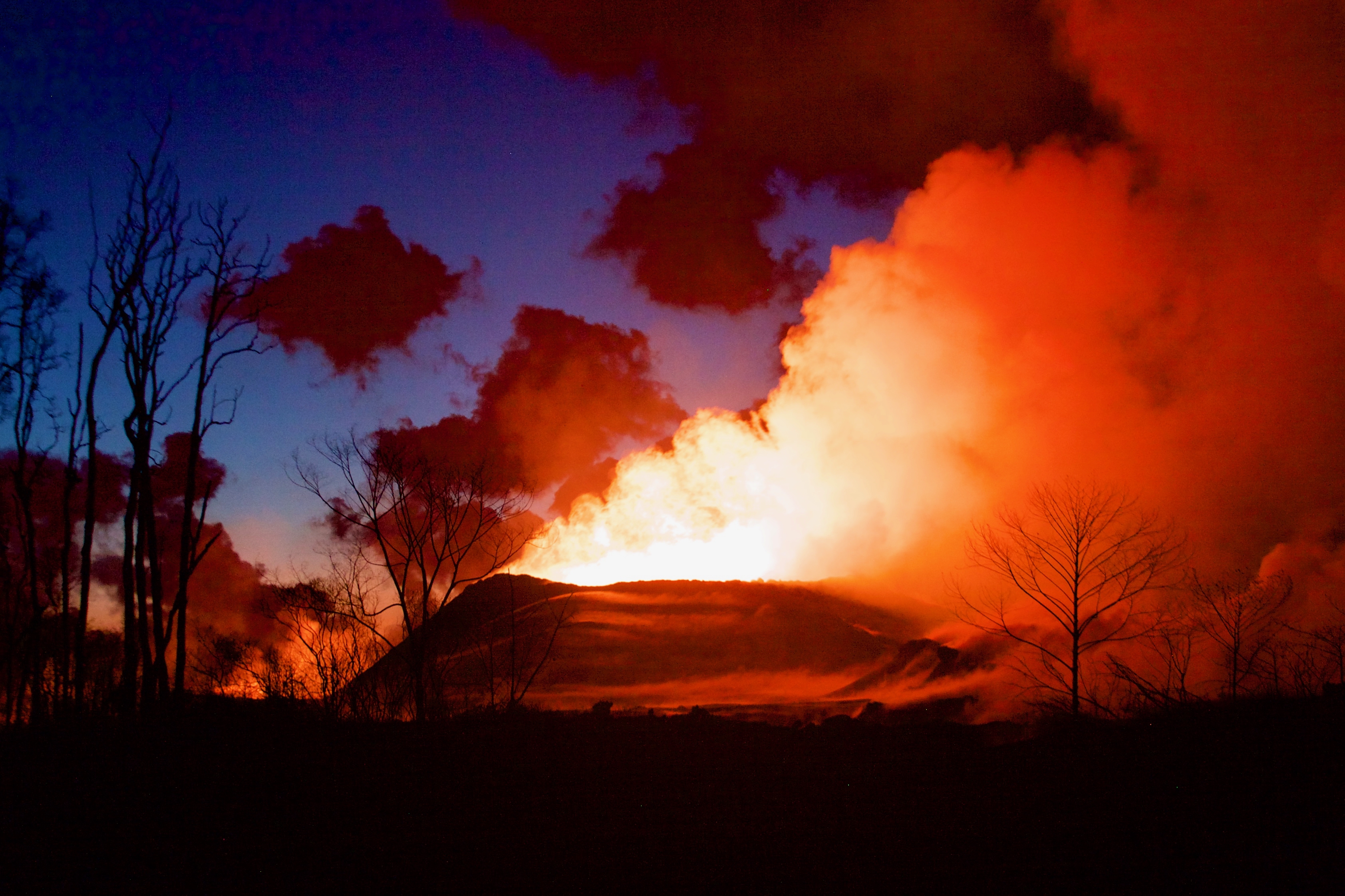
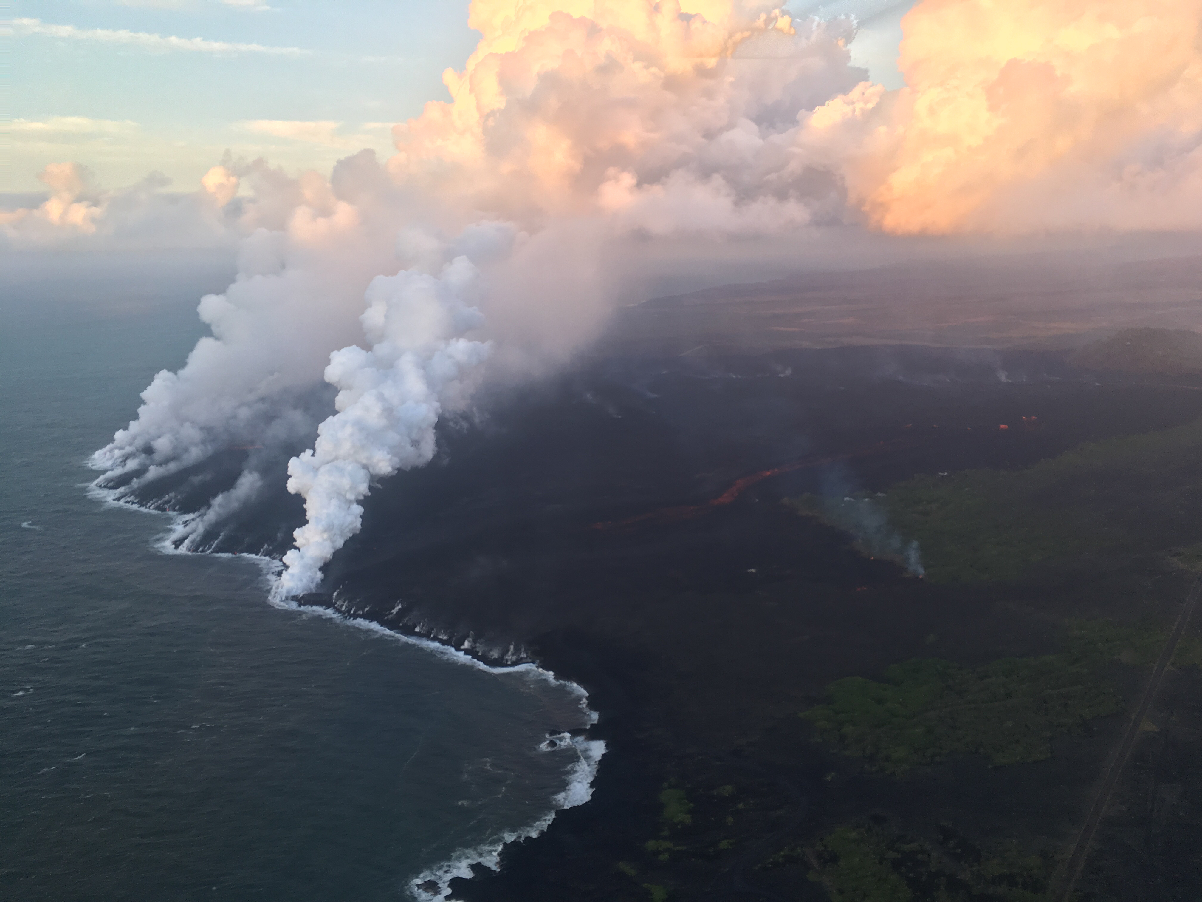
The Lower East Rift Zone eruption continues pretty much as usual: Fissure 8 feeding a lava river with occasional short-lived overflows. The main lava channel no longer reaches the ocean, but crusts over a half mile from shore and dives into the lava delta, oozing out at multiple points on the northern side. One especially large “ooze-out” makes a short flow on the north side of the flow field near the last few Kapoho Beach Lot Houses, a few of which are hanging on. Fissure 22 is weakly spattering with a weak flow to its east. Today’s summit explosion occurred at 6:04pm, equivalent of M5.3. Thick fog obscured the livestream view.
So that’s all routine, if a volcanic eruption can ever be routine. The big news today actually took place last night (see what happens when I finish my posts early?):
July 5 Volcano Community Meeting
Thursday evening, there was an important community meeting in Volcano Village. Mayor Harry Kim, the USGS and Civil Defense outlined the extremely unlikely but potentially life-threatening (to people near the summit) possibility of large-scale caldera collapse. I’ve transcribed the meeting here. BigIslandVideoNews excerpted the crucial 4-minute presentation from HVO’s Tina Neal:
Preceding this meeting was a long-expected document from USGS: Volcanic Hazard at the Summit of Kīlauea Update. While the Kīlauea Summit Earthquakes FAQ explained what is happening, this new update to a May 8th report summarizes what the USGS thinks might happen at the summit before this sequence is over, based on the volcano’s distant past.
During the Q&A session, a resident asked about the odds for the worst-case scenario, a large-scale caldera collapse with explosive activity. Harry Kim took the mike from Tina Neal and said, “Like you, we always like to know percentage odds. And she knows; I asked her that. And I’d like to answer because she said, ‘One percent.'” [Tina went on to explain how they arrive at such probabilities; she wasn’t being flippant.]
Another reassuring quote from the Q&A session:
Don Swanson: “I think that the evidence we have today looks to me as if [the subsidence/collapse] is going to be confined to within the caldera, because the outermost circumferential fractures that have been occurring on the caldera floor have not extended outward in the last 2-3 weeks or so. So to me, that suggests that they may be defining the outermost limit of potential caldera collapse.”
Continue reading July 6: Living With the 1% Possibility of Caldera Collapse