Amateur video of Halema’uma’u lava lake in Overlook Crater, taken by Jeffrey Brown on April 30, 2018.
The week before, the summit had been inflating and the lava lake had been overflowing, as seen on this USGS timelapse video of Halema’uma’u Crater April 25-26.
Map of Halema’uma’u and Kilauea Summit, because it’s a little confusing:
USGS Map of Kilauea Caldera, May 7, 2012:

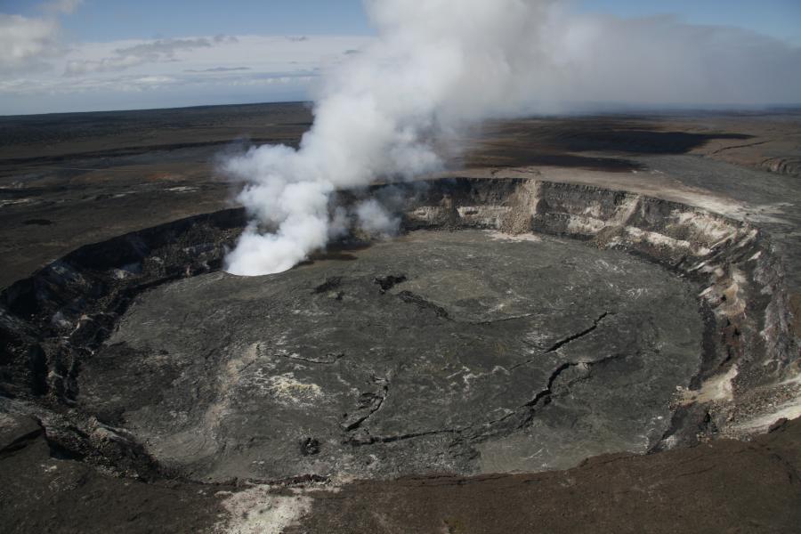
There’s the caldera at the summit of Kilauea volcano, a large, vaguely oval depression surrounded by cliffs. The Hawaii Volcano Observatory and Visitor Center are perched on the rim of this caldera. Inside the caldera is Halema’uma’u Crater, the traditional home of Madame Pele the fire goddess. Halema’uma’u was quiet for much of the 20th century with just a few lava flows breaking out and coating the floor.
In March 2008, part of the floor of Halema’uma’u blew out and became an active lava lake. This was usually called “Overlook Vent” (which is how it’s labeled on HVO’s webcams page). It was named after the old Halema’uma’u overlook. In 1986, we were allowed to walk right up to the crater rim there and peer in, but after the vent became active, the overlook was closed.

During the current eruption, I’ve heard USGS geologists say the steam/ash is coming from “Halema’uma’u Crater.” Presumably the plume is emerging from the Overlook Vent, but with rocks falling into it from Halema’uma’u, they’re playing it safe and using the term that encompasses both. For all we know, other parts of Halema’uma’u are getting involved as well; the steam/ash plume is obscuring the view.
Besides, more people know the name “Halema’uma’u” because it’s been in use fr much longer— apparently going back to a time before the 20th century when it didn’t erupt for quite a while, since the name means “House of Ferns”!