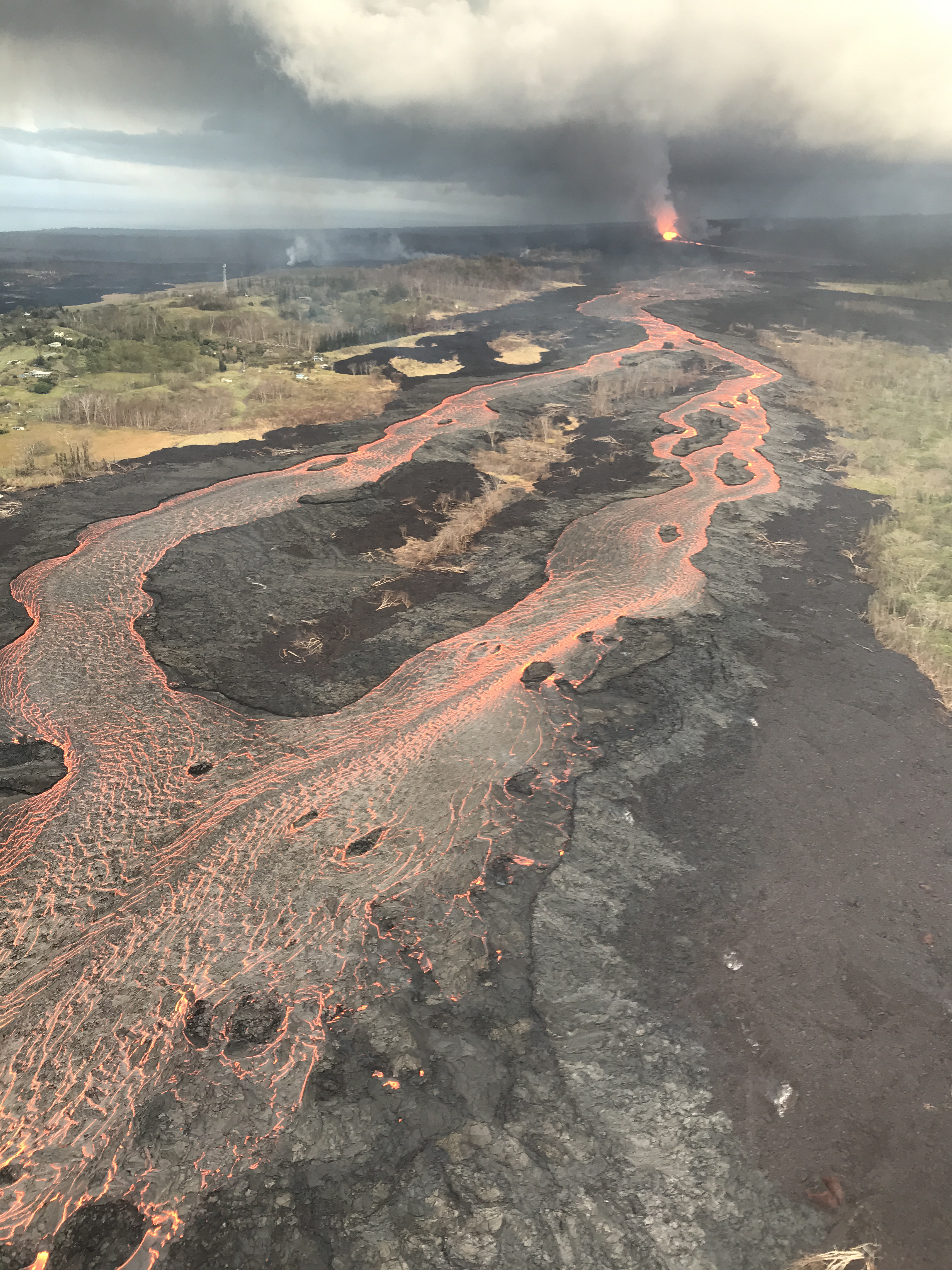
USGS: “Fissure 8 (fountain visible in distance) feeds lava into an active braided channel that flows about 8 miles (north, then east) to the ocean entry in Kapoho Bay. USGS image taken June 12, 2018, around 6:50 a.m. HST.” (Full-sized)
USGS: “Fissure 8 (fountain visible in distance) feeds lava into an active braided channel that flows about 8 miles (north, then east) to the ocean entry in Kapoho Bay. USGS image taken June 12, 2018, around 6:50 a.m. HST.” (Full-sized)