Today’s Eruption Summary
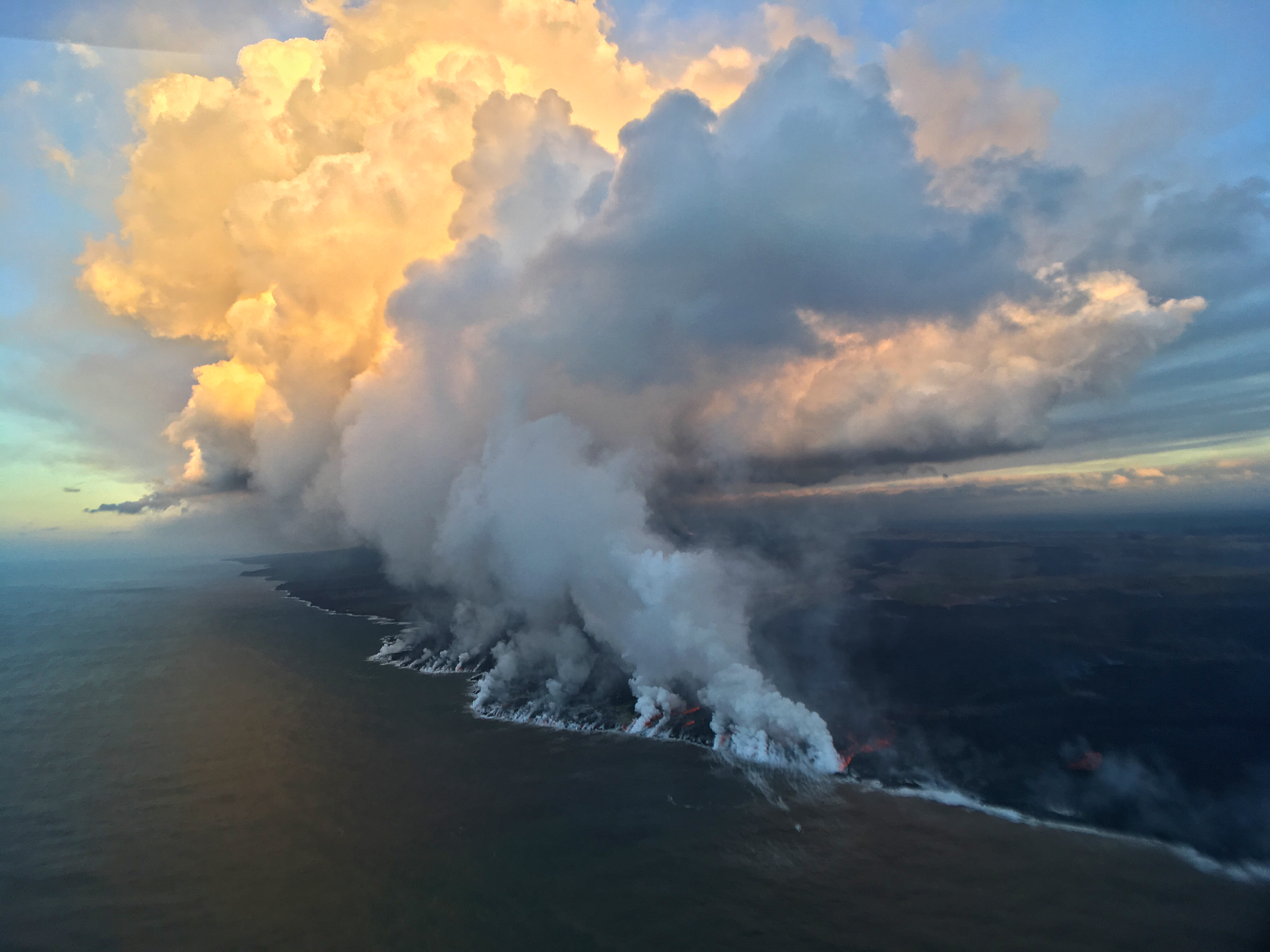
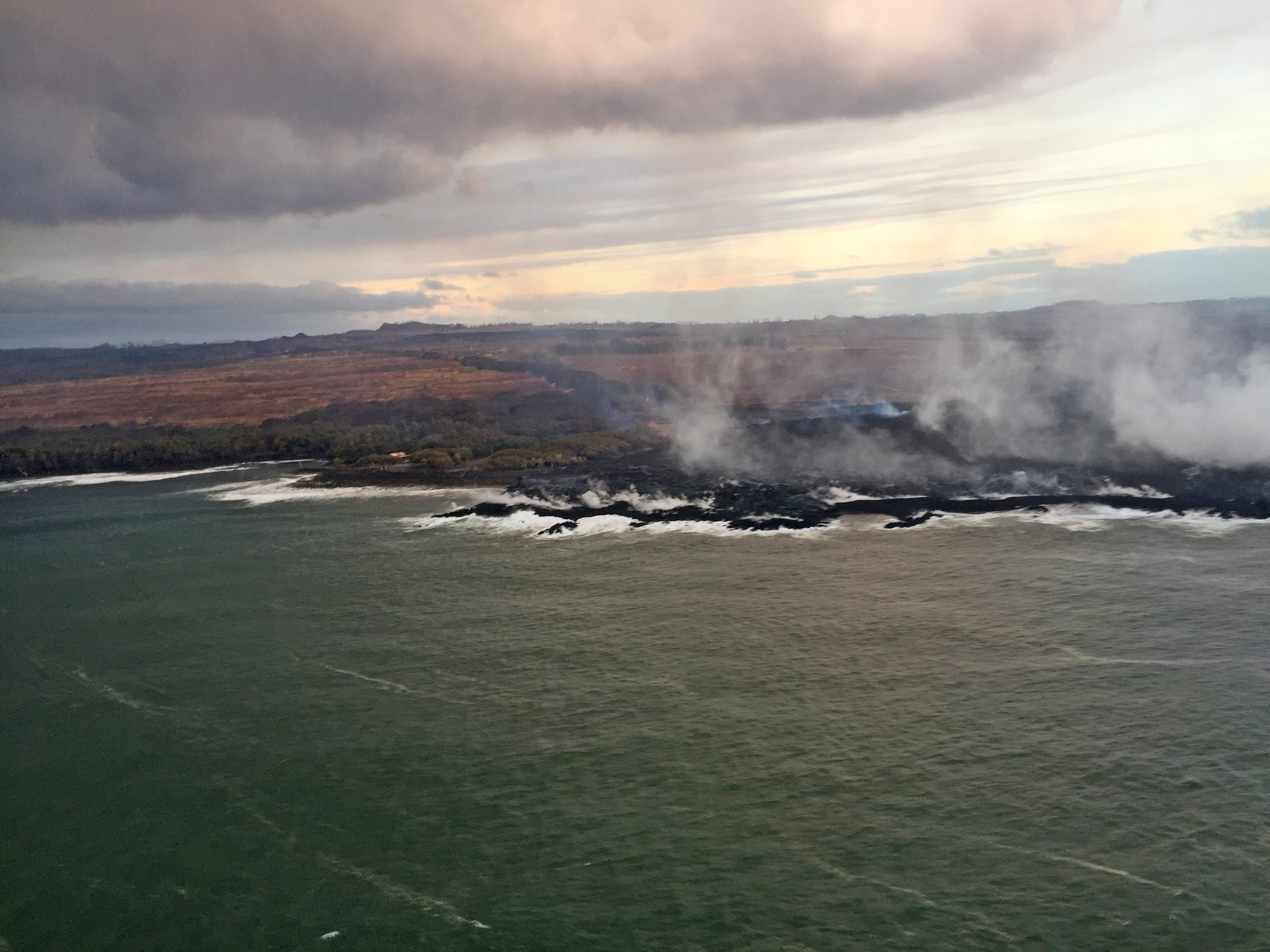
As we approach the 3-month mark— or pass it, since Puʻu ʻŌʻō’s floor collapsed 3 months ago this past Monday— Kīlauea’s 2018 eruption continues with no significant changes. During the USGS morning overflight, the lava’s southwestern margin was holding at less than a tenth of a mile from Pohoiki boat ramp. The vigorous ocean entry continues a few hundred yards to the east. No surges in lava output have been reported at Fissure 8 since Tuesday’s 6:41 am summit collapse.

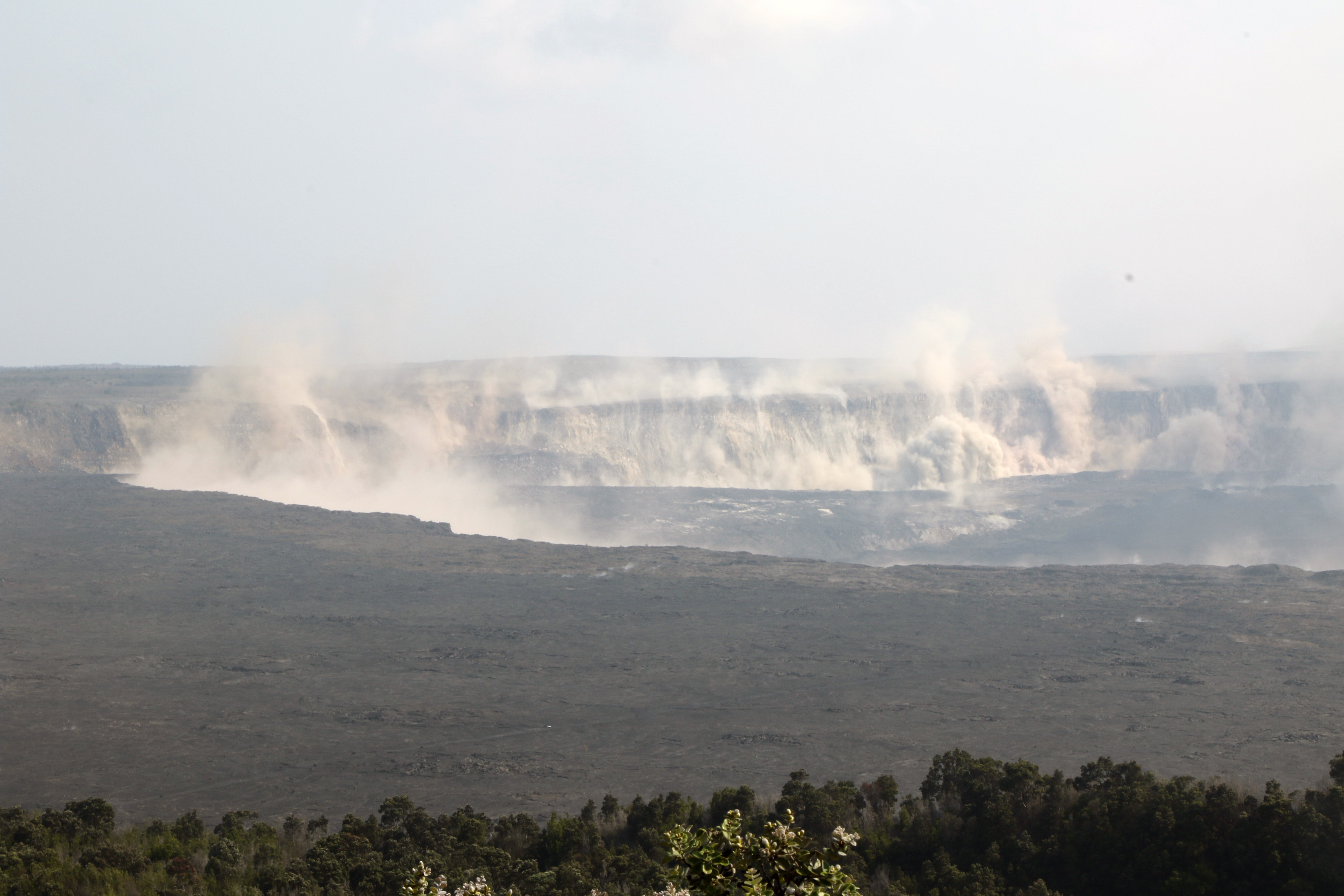
A deceptive moment of tranquility at the new, extensively remodeled summit:

Here’s HVO’s Steve Brantley giving the weekly eruption update at last night’s Pahoa community meeting (I’ll be transcribing it tomorrow or Friday).
He explains that complicated “lavashed” map released earlier this week, which predicts where lava is most likely to go if there’s a breakout along particular stretches of Fissure 8’s lava channel. This is an aid to residents living in neighboring areas not affected by lava now, but who are worried about what might happen if the flow diverts.
Continue reading July 25: Lavasheds Explained (More or Less)